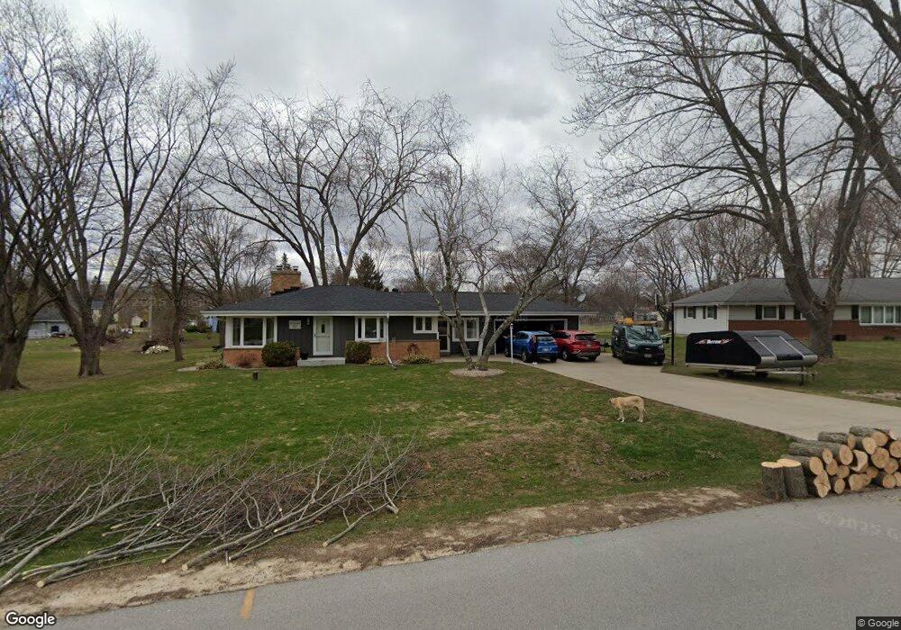
W131S6499 Kipling Dr Muskego, WI 53150
Estimated Value: $389,000 - $429,000
3
Beds
2
Baths
1,284
Sq Ft
$316/Sq Ft
Est. Value
About This Home
This home is located at W131S6499 Kipling Dr, Muskego, WI 53150 and is currently estimated at $405,320, approximately $315 per square foot. W131S6499 Kipling Dr is a home located in Waukesha County with nearby schools including Bay Lane Elementary School, Lake Denoon Middle School, and Creative and Performing Arts.
Ownership History
Date
Name
Owned For
Owner Type
Purchase Details
Closed on
Jul 25, 2003
Sold by
Grollo Camille
Bought by
Grollo Jon S and Hart Heather M
Current Estimated Value
Home Financials for this Owner
Home Financials are based on the most recent Mortgage that was taken out on this home.
Original Mortgage
$164,800
Interest Rate
5.47%
Mortgage Type
Purchase Money Mortgage
Create a Home Valuation Report for This Property
The Home Valuation Report is an in-depth analysis detailing your home's value as well as a comparison with similar homes in the area
Home Values in the Area
Average Home Value in this Area
Purchase History
| Date | Buyer | Sale Price | Title Company |
|---|---|---|---|
| Grollo Jon S | $179,800 | -- |
Source: Public Records
Mortgage History
| Date | Status | Borrower | Loan Amount |
|---|---|---|---|
| Closed | Grollo Jon S | $164,800 |
Source: Public Records
Tax History Compared to Growth
Tax History
| Year | Tax Paid | Tax Assessment Tax Assessment Total Assessment is a certain percentage of the fair market value that is determined by local assessors to be the total taxable value of land and additions on the property. | Land | Improvement |
|---|---|---|---|---|
| 2024 | $3,084 | $274,500 | $76,400 | $198,100 |
| 2023 | $3,037 | $274,500 | $76,400 | $198,100 |
| 2022 | $2,971 | $274,500 | $76,400 | $198,100 |
| 2021 | $2,941 | $274,500 | $76,400 | $198,100 |
| 2020 | $3,160 | $230,500 | $66,900 | $163,600 |
| 2019 | $3,129 | $230,500 | $66,900 | $163,600 |
| 2018 | $3,168 | $230,500 | $66,900 | $163,600 |
| 2017 | $3,168 | $230,500 | $66,900 | $163,600 |
| 2016 | $3,214 | $208,000 | $64,100 | $143,900 |
| 2015 | $3,249 | $208,000 | $64,100 | $143,900 |
| 2014 | $3,537 | $208,000 | $64,100 | $143,900 |
| 2013 | $3,537 | $208,000 | $64,100 | $143,900 |
Source: Public Records
Map
Nearby Homes
- 6180 Preston Ln
- W137S6834 Dunstan Ct
- Lt17 W Old Farm Rd
- Lt8 Twin Silos Ct
- W140S6982 Twin Silos Ct
- 11931 W Janesville Rd
- 13615 W Deer Park Dr
- Lt10 Norbert Ct
- 5622 S Fox Tail Ct
- 5701 S 121st St
- S70W14872 Dartmouth Cir
- 11310 Haleco Ln
- 12230 W Grange Ave
- 11216 Bridget Ln
- W142S7571 Freedom Ave
- 5315 S Maryknoll Dr
- 5310 S Nicolet Dr
- 7084 S Fieldstone Ct Unit 43
- 6749 S Prairie Wood Ln
- 6741 S Prairie Wood Ln
- W131S6519 Kipling Dr
- W131S6471 Kipling Dr
- W131S6510 Kipling Dr
- W131S6486 Kipling Dr
- W132S6496 Saroyan Rd
- W131S6536 Kipling Dr
- W131S6541 Kipling Dr
- W131S6465 Kipling Dr
- W132S6470 Saroyan Rd
- W132S6514 Saroyan Rd
- S65W13234 Longfellow Ln
- S65W13084 Longfellow Ln
- S64W13053 Kipling Ct
- W132S6511 Saroyan Rd
- W132S6442 Saroyan Rd
- W130S6441 Kipling Dr
- W132S6529 Saroyan Rd
- S65W13173 Longfellow Ln
- W131S6578 Longfellow Ln
- S65W13048 Longfellow Ln