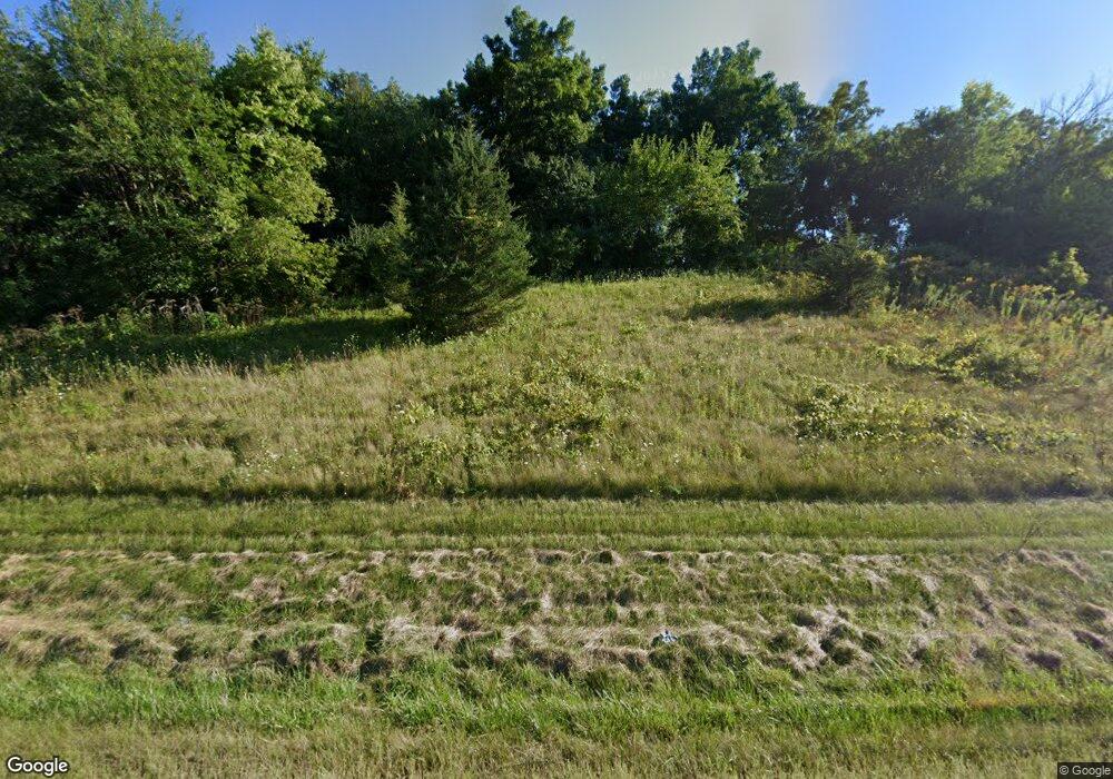
W13551 Hwy 60 West Point, WI 53578
Estimated Value: $607,000 - $823,278
4
Beds
3
Baths
3,425
Sq Ft
$212/Sq Ft
Est. Value
About This Home
This home is located at W13551 Hwy 60, West Point, WI 53578 and is currently estimated at $724,759, approximately $211 per square foot. W13551 Hwy 60 is a home located in Columbia County with nearby schools including Sauk Prairie Middle School, Sauk Prairie High School, and St Aloysius Grade School.
Ownership History
Date
Name
Owned For
Owner Type
Purchase Details
Closed on
Jun 25, 2021
Sold by
The Paul J Miller Revoc Liv Trust
Bought by
Miller Paul J and Miller Tina M
Current Estimated Value
Purchase Details
Closed on
Jun 19, 2017
Sold by
Hanson Raymond Arthur
Bought by
The Paul J Miller Revoc Liv Trust and Tina M Miller T Revoc Liv Trust
Purchase Details
Closed on
Jul 30, 2014
Sold by
Miller Paul J and Miller Tina M
Bought by
The Paul J Miller & Tina M Miller Revoc
Purchase Details
Closed on
Nov 7, 2013
Sold by
Hsbc Bank Usa National Association As Tr
Bought by
Miller Paul J and Miller Tina M
Purchase Details
Closed on
Jun 24, 2010
Sold by
Parks James M and Parks Lynn T
Bought by
Miller Paul J and Miller Tina M
Create a Home Valuation Report for This Property
The Home Valuation Report is an in-depth analysis detailing your home's value as well as a comparison with similar homes in the area
Home Values in the Area
Average Home Value in this Area
Purchase History
| Date | Buyer | Sale Price | Title Company |
|---|---|---|---|
| Miller Paul J | -- | -- | |
| The Paul J Miller Revoc Liv Trust | $105,000 | -- | |
| The Paul J Miller & Tina M Miller Revoc | -- | -- | |
| Miller Paul J | $58,550 | -- | |
| Miller Paul J | $297,400 | -- |
Source: Public Records
Tax History Compared to Growth
Tax History
| Year | Tax Paid | Tax Assessment Tax Assessment Total Assessment is a certain percentage of the fair market value that is determined by local assessors to be the total taxable value of land and additions on the property. | Land | Improvement |
|---|---|---|---|---|
| 2024 | $7,230 | $654,500 | $213,000 | $441,500 |
| 2023 | $7,596 | $654,500 | $213,000 | $441,500 |
| 2022 | $6,008 | $334,900 | $136,700 | $198,200 |
| 2021 | $5,763 | $334,900 | $136,700 | $198,200 |
| 2020 | $5,602 | $334,900 | $136,700 | $198,200 |
| 2019 | $5,445 | $334,900 | $136,700 | $198,200 |
| 2018 | $5,385 | $334,900 | $136,700 | $198,200 |
| 2017 | $5,376 | $334,900 | $136,700 | $198,200 |
| 2016 | $5,224 | $334,900 | $136,700 | $198,200 |
| 2015 | $5,404 | $334,900 | $136,700 | $198,200 |
| 2014 | $5,092 | $322,300 | $136,700 | $185,600 |
Source: Public Records
Map
Nearby Homes
- W14116 Selwood Dr
- Lot 40 Timber
- E12261 Timber Ridge Trail
- N900 Golf Rd
- Lot 1 Timber Ridge Trail
- Lot 43 Timber Ridge Trail
- E12239 Timber Ridge Trail
- E12239 Timber Ridge Trail Unit 30
- 440 Water St Unit 303
- 440 Water St Unit 112
- 107 Water St
- 640 8th St
- E12617 Kilpatrick Point Dr Unit 73
- 1103 Water St
- 901 Highland Trail
- 873 W Woodland Trail
- 1209 N Forest Ln Unit 1
- 227 9th St
- Lot 22 Lakestone Trail
- Lot 21 Lakestone Trail
