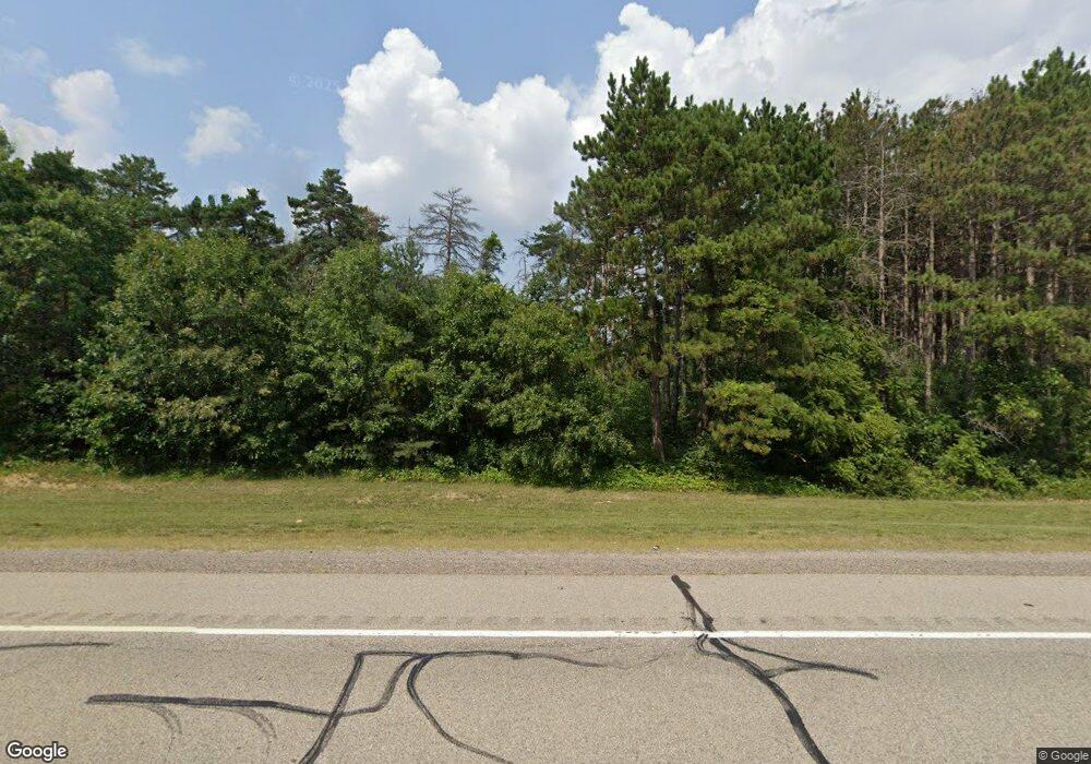
W13832 State Road 21 Coloma, WI 54930
Estimated Value: $232,000 - $309,000
3
Beds
2
Baths
1,860
Sq Ft
$149/Sq Ft
Est. Value
About This Home
This home is located at W13832 State Road 21, Coloma, WI 54930 and is currently estimated at $276,755, approximately $148 per square foot. W13832 State Road 21 is a home located in Waushara County with nearby schools including Westfield Area High School.
Ownership History
Date
Name
Owned For
Owner Type
Purchase Details
Closed on
Aug 30, 2013
Sold by
Gabres Kenneth R and Gabres Pamela A
Bought by
Reich Christopher M and Reich Glenda M
Current Estimated Value
Home Financials for this Owner
Home Financials are based on the most recent Mortgage that was taken out on this home.
Original Mortgage
$121,361
Outstanding Balance
$90,921
Interest Rate
4.5%
Mortgage Type
FHA
Estimated Equity
$185,834
Purchase Details
Closed on
Dec 29, 2008
Sold by
Carpenter Bonnie L
Bought by
Gabres Kenneth and Gabres Pamela
Purchase Details
Closed on
Dec 7, 2007
Sold by
Carpenter Homer R
Bought by
Carpenter Bonnie L
Create a Home Valuation Report for This Property
The Home Valuation Report is an in-depth analysis detailing your home's value as well as a comparison with similar homes in the area
Home Values in the Area
Average Home Value in this Area
Purchase History
| Date | Buyer | Sale Price | Title Company |
|---|---|---|---|
| Reich Christopher M | -- | -- | |
| Gabres Kenneth | $128,000 | -- | |
| Carpenter Bonnie L | $121,700 | -- |
Source: Public Records
Mortgage History
| Date | Status | Borrower | Loan Amount |
|---|---|---|---|
| Open | Reich Christopher M | $121,361 | |
| Closed | Carpenter Bonnie L | $0 |
Source: Public Records
Tax History Compared to Growth
Tax History
| Year | Tax Paid | Tax Assessment Tax Assessment Total Assessment is a certain percentage of the fair market value that is determined by local assessors to be the total taxable value of land and additions on the property. | Land | Improvement |
|---|---|---|---|---|
| 2024 | $2,084 | $179,300 | $44,000 | $135,300 |
| 2023 | $2,038 | $116,200 | $20,900 | $95,300 |
| 2022 | $1,783 | $116,200 | $20,900 | $95,300 |
| 2021 | $1,686 | $116,200 | $20,900 | $95,300 |
| 2020 | $1,721 | $116,200 | $20,900 | $95,300 |
| 2019 | $1,757 | $116,200 | $20,900 | $95,300 |
| 2018 | $1,752 | $116,200 | $20,900 | $95,300 |
| 2017 | $1,668 | $116,200 | $20,900 | $95,300 |
| 2016 | $1,726 | $116,200 | $20,900 | $95,300 |
| 2015 | $1,998 | $116,200 | $20,900 | $95,300 |
| 2014 | -- | $119,900 | $22,500 | $97,400 |
| 2013 | -- | $119,900 | $22,500 | $97,400 |
Source: Public Records
Map
Nearby Homes
- N1408 3rd Ln Unit PV
- 6.63 Acres 4th Ave
- N1143 County Road Ch
- 0 Cottonville Ave Unit 50316951
- N430 4th Ave
- 4th Ave
- 0 Ff Rd Unit 50313147
- 0 Ff Rd Unit 50313144
- W12203 Cottonville Ave
- 626 Semrow Rd
- 329 E Follett Dr
- 231 Cottonville Ln
- 0 Chicago Ave Unit 2006349
- 311 Wisconsin 21
- W7131 Dakota Ave
- W12149 Wisconsin 21
- W12099 Cottonville Ct
- 0 Cottonville Ct
- 0 Brown Deer Ct
- N8634 4th Ave
- W13832 State Road 21
- W13832 Wisconsin 21
- W13876 State Road 21
- N1129 2nd Ln
- N1112 2nd Ln
- N853 2nd Ln
- 2nd 2nd Ln
- N1096 2nd Ln
- N1079 2nd Ln
- W13647 Black Oak Ct
- W13625 Black Oak Ct
- W13656 Black Oak Ct
- W13644 Black Oak Ct
- W13650 Black Oak Ct
- W13605 Black Oak Ct
- N998 2nd Ln
- W13682 Cypress Ave
- 0 Burr Oak Ct Unit 50149986
- 0 Burr Oak Ct Unit 22483749
- W13579 Black Oak Ct
