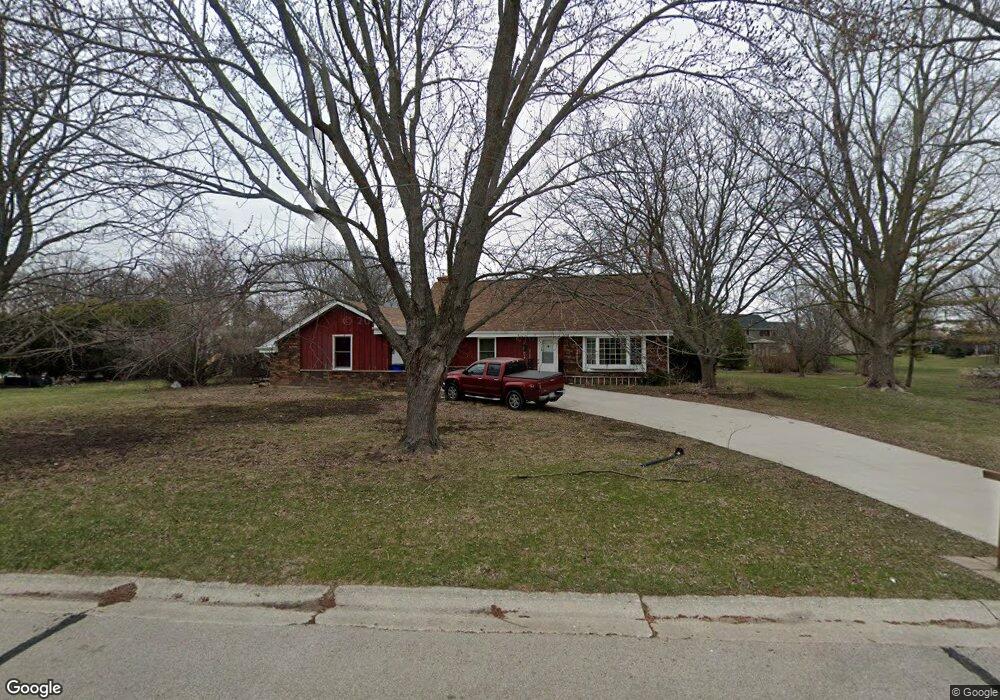
W141S7574 Freedom Ave Muskego, WI 53150
Estimated Value: $485,504 - $515,000
4
Beds
2
Baths
2,300
Sq Ft
$220/Sq Ft
Est. Value
About This Home
This home is located at W141S7574 Freedom Ave, Muskego, WI 53150 and is currently estimated at $504,876, approximately $219 per square foot. W141S7574 Freedom Ave is a home located in Waukesha County with nearby schools including Bay Lane Elementary School, Lake Denoon Middle School, and Muskego High School.
Ownership History
Date
Name
Owned For
Owner Type
Purchase Details
Closed on
May 3, 2021
Sold by
Wallschlaeger David W
Bought by
Wallschlaeger David W and Livi Joy
Current Estimated Value
Home Financials for this Owner
Home Financials are based on the most recent Mortgage that was taken out on this home.
Original Mortgage
$107,300
Interest Rate
2.31%
Mortgage Type
New Conventional
Purchase Details
Closed on
May 25, 2018
Sold by
Wallschlaeger David J and Wallschlaeger Joy D
Bought by
Wallschlaeger David W and Wallschlaeger Joy D
Create a Home Valuation Report for This Property
The Home Valuation Report is an in-depth analysis detailing your home's value as well as a comparison with similar homes in the area
Home Values in the Area
Average Home Value in this Area
Purchase History
| Date | Buyer | Sale Price | Title Company |
|---|---|---|---|
| Wallschlaeger David W | -- | Hale Leila H | |
| Wallschlaeger David W | $25,750 | None Listed On Document | |
| Wallschlaeger David W | -- | None Available |
Source: Public Records
Mortgage History
| Date | Status | Borrower | Loan Amount |
|---|---|---|---|
| Previous Owner | Wallschlaeger David W | $107,300 |
Source: Public Records
Tax History Compared to Growth
Tax History
| Year | Tax Paid | Tax Assessment Tax Assessment Total Assessment is a certain percentage of the fair market value that is determined by local assessors to be the total taxable value of land and additions on the property. | Land | Improvement |
|---|---|---|---|---|
| 2024 | $3,366 | $297,900 | $79,600 | $218,300 |
| 2023 | $3,318 | $297,900 | $79,600 | $218,300 |
| 2022 | $3,244 | $297,900 | $79,600 | $218,300 |
| 2021 | $3,213 | $297,900 | $79,600 | $218,300 |
| 2020 | $3,342 | $243,000 | $69,100 | $173,900 |
| 2019 | $3,311 | $243,000 | $69,100 | $173,900 |
| 2018 | $3,351 | $243,000 | $69,100 | $173,900 |
| 2017 | $3,967 | $243,000 | $69,100 | $173,900 |
| 2016 | $3,614 | $232,400 | $64,900 | $167,500 |
| 2015 | $3,651 | $232,400 | $64,900 | $167,500 |
| 2014 | $3,974 | $232,400 | $64,900 | $167,500 |
| 2013 | $3,974 | $232,400 | $64,900 | $167,500 |
Source: Public Records
Map
Nearby Homes
- W145S7644 Durham Dr
- Lt8 Twin Silos Ct
- S70W14845 Dartmouth Cir
- S70W14872 Dartmouth Cir
- S76W12788 Cambridge Ct E
- S76W12739 Cambridge Ct E
- S68W13611 Hale Park Cir
- S67W14570 Gaulke Ct
- N51W19119 Quietwood Dr
- 7618 S North Cape Rd
- W163S7358 Bay Lane Dr
- 12252 W Jefferson Terrace Unit 22
- W162S7043 Olive Cir Unit 22
- 12374 W Virginia Cir Unit 8
- Wilshire Prairie Plan at Mallard Reserve
- Winfield II Plan at Mallard Reserve
- Wilshire Prairie Signature Series Plan at Mallard Reserve
- Wilshire III Plan at Mallard Reserve
- Wilshire Manor III Plan at Mallard Reserve
- Wilshire IV Plan at Mallard Reserve
- S75W14181 Restfull Ln
- S75W14205 Restfull Ln
- W141S7601 Freedom Ave
- W141S7587 Freedom Ave
- S75W14117 Restfull Ln
- S75W14093 Restfull Ln
- W141S7598 Freedom Ave
- W142S7602 Concord Ct
- W141S7615 Freedom Ave
- W142S7571 Freedom Ave
- S75W14202 Restfull Ln
- W142S7680 Concord Ct
- S75W14240 Restfull Ln
- 14240 Restfull Ln
- S75W14150 Restfull Ln
- S75W14132 Restfull Ln
- S75W14071 Restfull Ln
- W140S7620 Freedom Ave
- S76W14111 Independence Dr
- W140S7575 Bluhm Dr