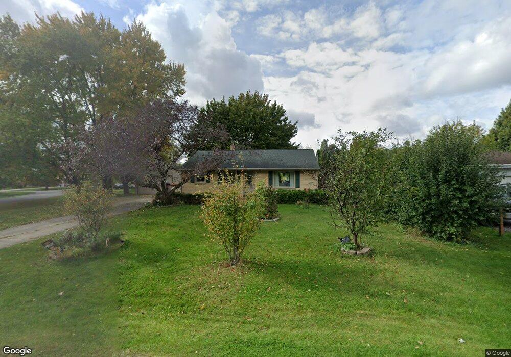
W142N6589 Memory Rd Menomonee Falls, WI 53051
Estimated Value: $327,010 - $382,000
3
Beds
1
Bath
1,102
Sq Ft
$317/Sq Ft
Est. Value
About This Home
This home is located at W142N6589 Memory Rd, Menomonee Falls, WI 53051 and is currently estimated at $349,003, approximately $316 per square foot. W142N6589 Memory Rd is a home located in Waukesha County with nearby schools including North Middle School, Menomonee Falls High School, and Calvary Baptist School.
Ownership History
Date
Name
Owned For
Owner Type
Purchase Details
Closed on
Jun 9, 2006
Sold by
Klatt Karen A and Madden Karen A
Bought by
Madden Karen A
Current Estimated Value
Purchase Details
Closed on
Jul 8, 2002
Sold by
Bins John C
Bought by
Madden William R and Klatt Karen A
Home Financials for this Owner
Home Financials are based on the most recent Mortgage that was taken out on this home.
Original Mortgage
$100,000
Outstanding Balance
$42,723
Interest Rate
6.82%
Estimated Equity
$306,280
Create a Home Valuation Report for This Property
The Home Valuation Report is an in-depth analysis detailing your home's value as well as a comparison with similar homes in the area
Home Values in the Area
Average Home Value in this Area
Purchase History
| Date | Buyer | Sale Price | Title Company |
|---|---|---|---|
| Madden Karen A | -- | None Available | |
| Madden William R | $130,000 | -- |
Source: Public Records
Mortgage History
| Date | Status | Borrower | Loan Amount |
|---|---|---|---|
| Open | Madden William R | $100,000 |
Source: Public Records
Tax History Compared to Growth
Tax History
| Year | Tax Paid | Tax Assessment Tax Assessment Total Assessment is a certain percentage of the fair market value that is determined by local assessors to be the total taxable value of land and additions on the property. | Land | Improvement |
|---|---|---|---|---|
| 2024 | $2,893 | $259,600 | $113,000 | $146,600 |
| 2023 | $2,773 | $259,600 | $113,000 | $146,600 |
| 2022 | $2,870 | $180,900 | $77,700 | $103,200 |
| 2021 | $2,744 | $180,900 | $77,700 | $103,200 |
| 2020 | $2,901 | $180,900 | $77,700 | $103,200 |
| 2019 | $2,769 | $180,900 | $77,700 | $103,200 |
| 2018 | $2,893 | $180,900 | $77,700 | $103,200 |
| 2017 | $3,009 | $180,900 | $77,700 | $103,200 |
| 2016 | $3,058 | $180,900 | $77,700 | $103,200 |
| 2015 | $3,072 | $180,900 | $77,700 | $103,200 |
| 2014 | $3,280 | $180,900 | $77,700 | $103,200 |
| 2013 | $3,280 | $180,900 | $77,700 | $103,200 |
Source: Public Records
Map
Nearby Homes
- N65W14542 Redwood Dr
- W142N6966 Oakwood Dr
- W134N6759 Wild Rose Ct
- W139N6995 Bay Ridge Ln
- N63W13412 Hummingbird Way
- W137N6161 Weyer Farm Ct
- N66W12812 Corryton Ct
- W148N7311 Woodland Dr
- N67W15832 Tamarack Trail
- N74W13737 Appleton Ave Unit 107
- N69W15889 Eileen Ave
- W148N7497 Woodland Dr
- 11958 W Mill Rd Unit 24
- N61W16085 Hawthorne Dr
- 11917 W Appleton Ave Unit 6
- 11957 W Appleton Ave Unit 4
- 11927 W Appleton Ave Unit 6
- 11910 W Mill Rd Unit 6
- 11937 W Appleton Ave Unit 14
- 11937 W Appleton Ave Unit 20
- W142N6603 Memory Rd
- W142N6555 Florence Ave
- W142N6617 Memory Rd
- W142N6602 Memory Rd
- W142N6560 Florence Ave
- W142N6580 Florence Ave
- W142N6541 Florence Ave
- W142N6538 Florence Ave
- W143N6602 Aspen Dr
- W143N6582 Aspen Dr
- W141N6598 Florence Ave
- W142N6628 Memory Rd
- W143N6620 Aspen Dr
- W143N6544 Aspen Dr
- W142N6635 Memory Rd
- W142N6523 Florence Ave
- W141N6615 Florence Ave
- W142N6518 Florence Ave
- N65W14122 Hazel K Cir
- N65W14131 Hazel K Cir