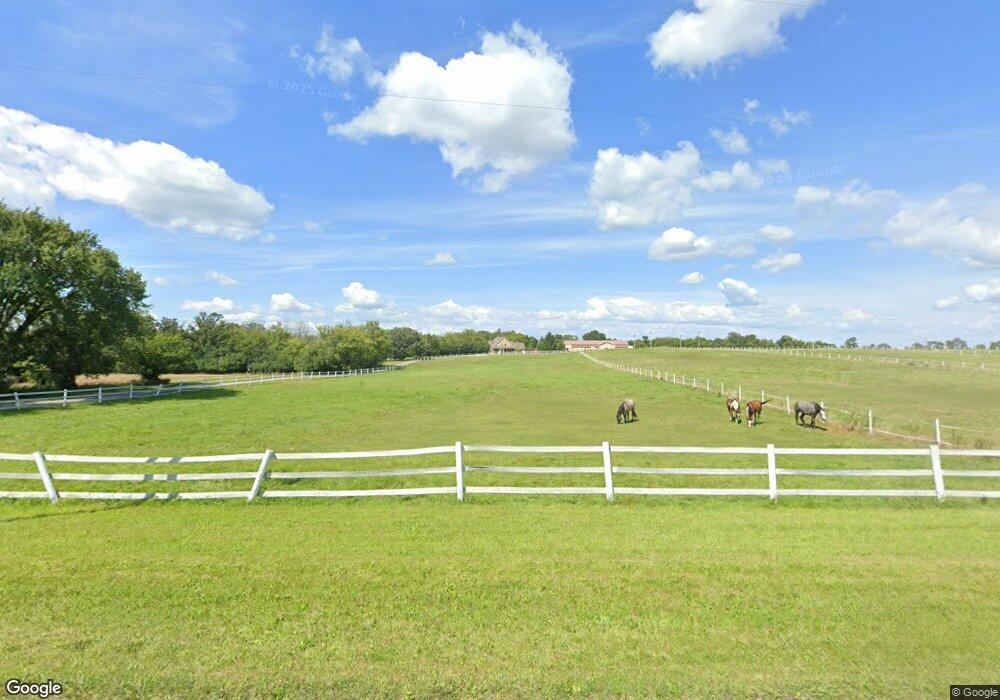
Estimated Value: $350,000 - $681,775
5
Beds
5
Baths
4,050
Sq Ft
$140/Sq Ft
Est. Value
About This Home
This home is located at W14471 Dartford Rd, Ripon, WI 54971 and is currently estimated at $566,592, approximately $139 per square foot. W14471 Dartford Rd is a home located in Fond du Lac County with nearby schools including Barlow Park Elementary School, Murray Park Elementary School, and Ripon Middle School.
Ownership History
Date
Name
Owned For
Owner Type
Purchase Details
Closed on
Jun 25, 2015
Sold by
Cedar Ridge Real Estate Investments Llc
Bought by
Avery Ryan T and Avery Rachael L
Current Estimated Value
Home Financials for this Owner
Home Financials are based on the most recent Mortgage that was taken out on this home.
Original Mortgage
$240,000
Outstanding Balance
$187,855
Interest Rate
4.05%
Mortgage Type
New Conventional
Estimated Equity
$378,737
Purchase Details
Closed on
Dec 29, 2005
Sold by
Avery Thomas A and Avery Mary E
Bought by
Cedar Ridge Real Estate Investments Llc
Create a Home Valuation Report for This Property
The Home Valuation Report is an in-depth analysis detailing your home's value as well as a comparison with similar homes in the area
Home Values in the Area
Average Home Value in this Area
Purchase History
| Date | Buyer | Sale Price | Title Company |
|---|---|---|---|
| Avery Ryan T | $335,000 | None Available | |
| Cedar Ridge Real Estate Investments Llc | -- | None Available |
Source: Public Records
Mortgage History
| Date | Status | Borrower | Loan Amount |
|---|---|---|---|
| Open | Avery Ryan T | $240,000 |
Source: Public Records
Tax History Compared to Growth
Tax History
| Year | Tax Paid | Tax Assessment Tax Assessment Total Assessment is a certain percentage of the fair market value that is determined by local assessors to be the total taxable value of land and additions on the property. | Land | Improvement |
|---|---|---|---|---|
| 2024 | $8,623 | $432,200 | $29,800 | $402,400 |
| 2023 | $8,676 | $432,200 | $29,800 | $402,400 |
| 2022 | $8,222 | $432,200 | $29,800 | $402,400 |
| 2021 | $7,655 | $432,200 | $29,800 | $402,400 |
| 2020 | $7,816 | $432,200 | $29,800 | $402,400 |
| 2019 | $8,295 | $432,200 | $29,800 | $402,400 |
| 2018 | $7,603 | $386,100 | $25,400 | $360,700 |
| 2017 | $7,657 | $386,100 | $25,400 | $360,700 |
| 2016 | $7,822 | $386,100 | $25,400 | $360,700 |
| 2015 | $8,363 | $386,100 | $25,400 | $360,700 |
| 2014 | -- | $386,100 | $25,400 | $360,700 |
| 2013 | $8,702 | $386,100 | $25,400 | $360,700 |
Source: Public Records
Map
Nearby Homes
- W14390 State Rd 23-49
- 217 Stone Hill Ct
- 209 Stone Hill Ct
- 227 Glacial Terrace
- 219 Glacial Terrace
- 1068 Combe St
- 290 Moraine Dr
- 291 Moraine Dr
- 250 Moraine Dr
- 234 Moraine Dr
- 274 Moraine Dr
- 1052 Combe St
- 369 Drumlin Loop
- 375 Drumlin Loop
- 333 Drumlin Loop
- 317 Drumlin Loop
- 301 Drumlin Loop
- N5697 Skunk Hollow Rd
- Lot 14 Meadow Dr
- 778 Hillside Terrace
- N8407 Dead End Rd
- N8421 Dead End Rd
- N8445 Dead End Rd
- N8467 Dead End Rd
- W14384 Dartford Rd
- W14225 Coombe St
- N5889 Brooklyn G Rd
- W14330 Dartford Rd
- W14295 Dartford Rd
- W14302 Brookwood Ct
- N6057 Dead End Rd
- W14308 Brookwood Ct
- W14376 Brookwood Ct
- W14214 Coombe St
- W14372 Brookwood Ct
- W14362 Brookwood Ct
- W1436 Brookwood Ct
- W14346 Brookwood Ct
- W14203 Coombe St
- W14330 W14330 Brookwood Ct
