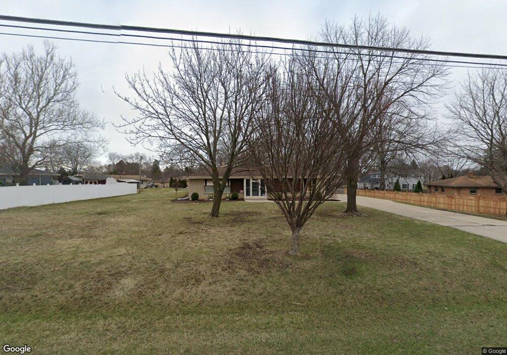
W145S7574 Durham Dr Muskego, WI 53150
Estimated Value: $409,000 - $446,000
3
Beds
2
Baths
1,536
Sq Ft
$281/Sq Ft
Est. Value
About This Home
This home is located at W145S7574 Durham Dr, Muskego, WI 53150 and is currently estimated at $432,012, approximately $281 per square foot. W145S7574 Durham Dr is a home located in Waukesha County with nearby schools including Bay Lane Elementary School, Lake Denoon Middle School, and Muskego High School.
Ownership History
Date
Name
Owned For
Owner Type
Purchase Details
Closed on
Oct 26, 2001
Sold by
Mastrocola Nicholas A
Bought by
Frasier Kevin J and Frasier Lisa A
Current Estimated Value
Home Financials for this Owner
Home Financials are based on the most recent Mortgage that was taken out on this home.
Original Mortgage
$156,500
Outstanding Balance
$61,168
Interest Rate
6.72%
Estimated Equity
$370,844
Purchase Details
Closed on
Apr 28, 1998
Sold by
Mastrocola Nicholas A
Bought by
Mastrocola Nicholas A and Nicholas A & Geraldine Mastrocola Family
Create a Home Valuation Report for This Property
The Home Valuation Report is an in-depth analysis detailing your home's value as well as a comparison with similar homes in the area
Home Values in the Area
Average Home Value in this Area
Purchase History
| Date | Buyer | Sale Price | Title Company |
|---|---|---|---|
| Frasier Kevin J | $166,500 | -- | |
| Mastrocola Nicholas A | -- | -- |
Source: Public Records
Mortgage History
| Date | Status | Borrower | Loan Amount |
|---|---|---|---|
| Open | Frasier Kevin J | $156,500 |
Source: Public Records
Tax History Compared to Growth
Tax History
| Year | Tax Paid | Tax Assessment Tax Assessment Total Assessment is a certain percentage of the fair market value that is determined by local assessors to be the total taxable value of land and additions on the property. | Land | Improvement |
|---|---|---|---|---|
| 2024 | $4,082 | $277,700 | $71,400 | $206,300 |
| 2023 | $4,029 | $277,700 | $71,400 | $206,300 |
| 2022 | $3,469 | $277,700 | $71,400 | $206,300 |
| 2021 | $2,979 | $277,700 | $71,400 | $206,300 |
| 2020 | $3,135 | $228,800 | $62,500 | $166,300 |
| 2019 | $3,104 | $228,800 | $62,500 | $166,300 |
| 2018 | $3,454 | $228,800 | $62,500 | $166,300 |
| 2017 | $3,565 | $228,800 | $62,500 | $166,300 |
| 2016 | $3,729 | $208,000 | $59,900 | $148,100 |
| 2015 | $3,821 | $208,000 | $59,900 | $148,100 |
| 2014 | $3,537 | $208,000 | $59,900 | $148,100 |
| 2013 | $3,537 | $208,000 | $59,900 | $148,100 |
Source: Public Records
Map
Nearby Homes
- W145S7644 Durham Dr
- S70W14845 Dartmouth Cir
- S70W14872 Dartmouth Cir
- Lt8 Twin Silos Ct
- N51W19119 Quietwood Dr
- S67W14570 Gaulke Ct
- S68W13611 Hale Park Cir
- S76W12788 Cambridge Ct E
- S76W12739 Cambridge Ct E
- W163S7358 Bay Lane Dr
- W162S7043 Olive Cir Unit 22
- S75W16788 Jacob Ct Unit 12
- S78W16730 Spinnaker Dr
- S66W16256 Chestnut Ridge Ct
- W170S7361 Parkland Dr Unit 13
- Wilshire Prairie Plan at Mallard Reserve
- Winfield II Plan at Mallard Reserve
- Wilshire Prairie Signature Series Plan at Mallard Reserve
- Wilshire III Plan at Mallard Reserve
- Wilshire Manor III Plan at Mallard Reserve
- S76W14572 Easy St
- S75W14579 Pilgrim Dr
- S75W14547 Pilgrim Dr
- S75W14530 Easy St
- S75W14499 Pilgrim Dr
- S75W14496 Easy St
- S75W14463 Pilgrim Dr
- S75W14554 Pilgrim Dr
- S75W14592 Pilgrim Dr
- S76W14501 Easy St
- W145S7628 Durham Dr
- S75W14520 Pilgrim Dr
- S75W14452 Easy St
- S75W14482 Pilgrim Dr
- W144S7561 Indian Trail
- W146S7488 Durham Dr
- S75W14426 Pilgrim Dr
- S76W14457 Easy St
- S75W14416 Easy St
- S74W14493 Settler Way