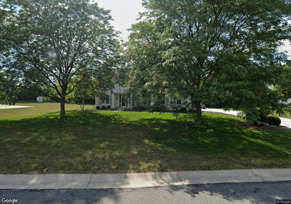
W147N6513 Ash Dr Menomonee Falls, WI 53051
Estimated Value: $578,748 - $674,000
4
Beds
3
Baths
1,704
Sq Ft
$362/Sq Ft
Est. Value
About This Home
This home is located at W147N6513 Ash Dr, Menomonee Falls, WI 53051 and is currently estimated at $616,187, approximately $361 per square foot. W147N6513 Ash Dr is a home located in Waukesha County with nearby schools including North Middle School, Menomonee Falls High School, and Calvary Baptist School.
Ownership History
Date
Name
Owned For
Owner Type
Purchase Details
Closed on
Jun 23, 2021
Sold by
Marshall Bryan C and Marshall Vicki L
Bought by
Marshall Bryan C and Marshall Vicki L
Current Estimated Value
Purchase Details
Closed on
Apr 26, 2007
Sold by
Lesnik Glenn R and Schick Monica
Bought by
Marshall Bryan C and Marshall Vicki L
Home Financials for this Owner
Home Financials are based on the most recent Mortgage that was taken out on this home.
Original Mortgage
$280,000
Interest Rate
6.07%
Mortgage Type
Purchase Money Mortgage
Create a Home Valuation Report for This Property
The Home Valuation Report is an in-depth analysis detailing your home's value as well as a comparison with similar homes in the area
Home Values in the Area
Average Home Value in this Area
Purchase History
| Date | Buyer | Sale Price | Title Company |
|---|---|---|---|
| Marshall Bryan C | -- | None Listed On Document | |
| Marshall Bryan C | $350,000 | None Available |
Source: Public Records
Mortgage History
| Date | Status | Borrower | Loan Amount |
|---|---|---|---|
| Previous Owner | Marshall Bryan C | $280,000 |
Source: Public Records
Tax History Compared to Growth
Tax History
| Year | Tax Paid | Tax Assessment Tax Assessment Total Assessment is a certain percentage of the fair market value that is determined by local assessors to be the total taxable value of land and additions on the property. | Land | Improvement |
|---|---|---|---|---|
| 2024 | $5,738 | $506,500 | $172,900 | $333,600 |
| 2023 | $5,529 | $506,500 | $172,900 | $333,600 |
| 2022 | $5,716 | $353,200 | $119,300 | $233,900 |
| 2021 | $5,473 | $353,200 | $119,300 | $233,900 |
| 2020 | $5,738 | $353,200 | $119,300 | $233,900 |
| 2019 | $5,499 | $353,200 | $119,300 | $233,900 |
| 2018 | $5,796 | $353,200 | $119,300 | $233,900 |
| 2017 | $5,979 | $353,200 | $119,300 | $233,900 |
| 2016 | $6,090 | $353,200 | $119,300 | $233,900 |
| 2015 | $6,091 | $353,200 | $119,300 | $233,900 |
| 2014 | $6,333 | $345,400 | $119,300 | $226,100 |
| 2013 | $6,333 | $345,400 | $119,300 | $226,100 |
Source: Public Records
Map
Nearby Homes
- N65W14542 Redwood Dr
- N64W14282 Mill Rd
- N66W14402 Ash Dr
- N64W14182 Mill Rd
- W140N6628 Florence Ave
- W148N6937 Terriwood Dr
- N68W14031 Oakwood Dr
- W155N6995 Amberleigh Cir
- W136N6291 Hummingbird Way
- N67W15832 Tamarack Trail
- W144N7085 Terrace Dr
- W155N7081 Amberleigh Cir
- N63W13412 Hummingbird Way
- N69W15889 Eileen Ave
- W157N7069 Mayflower Ct Unit A
- N60W13464 Tall Oak Ct
- N69W13211 Harding Dr
- W130N6462 Crestwood Dr
- N70W13269 Brentwood Dr
- N72W13429 Good Hope Rd
- W147N6491 Ash Dr
- W147N6537 Ash Dr
- N65W14693 Redwood Dr
- W147N6477 Ash Dr
- W147N6538 Ash Dr
- W147N6557 Ash Dr
- N64W14700 Poplar Dr
- N65W14654 Redwood Dr
- W147N6459 Ash Dr
- N65W14655 Redwood Dr
- W147N6579 Ash Dr
- W147N6456 Ash Dr
- N64W14660 Poplar Dr
- W147N6576 Ash Dr
- W147N6435 Ash Dr
- N64W14632 Poplar Dr
- W146N6551 Cedar Ridge Ln
- N65W14615 Redwood Dr
- N64W14647 Poplar Dr
- W147N6434 Ash Dr