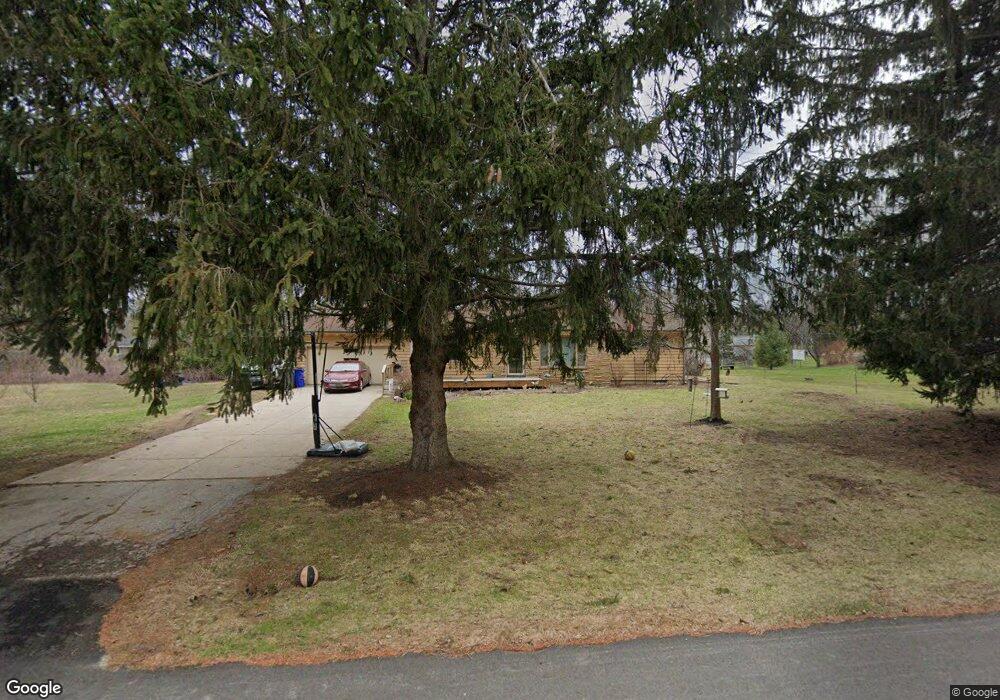
W148S6561 Brookside Dr Muskego, WI 53150
Estimated Value: $358,000 - $402,747
3
Beds
2
Baths
1,144
Sq Ft
$326/Sq Ft
Est. Value
About This Home
This home is located at W148S6561 Brookside Dr, Muskego, WI 53150 and is currently estimated at $372,687, approximately $325 per square foot. W148S6561 Brookside Dr is a home located in Waukesha County with nearby schools including Bay Lane Elementary School, Lake Denoon Middle School, and Muskego High School.
Ownership History
Date
Name
Owned For
Owner Type
Purchase Details
Closed on
Oct 11, 1996
Sold by
Weitzer James A and Janicki Linda A
Bought by
Gaspervich Allen J and Gaspervich Mary F
Current Estimated Value
Home Financials for this Owner
Home Financials are based on the most recent Mortgage that was taken out on this home.
Original Mortgage
$136,550
Outstanding Balance
$12,929
Interest Rate
8.44%
Mortgage Type
VA
Estimated Equity
$359,758
Create a Home Valuation Report for This Property
The Home Valuation Report is an in-depth analysis detailing your home's value as well as a comparison with similar homes in the area
Home Values in the Area
Average Home Value in this Area
Purchase History
| Date | Buyer | Sale Price | Title Company |
|---|---|---|---|
| Gaspervich Allen J | $133,900 | -- |
Source: Public Records
Mortgage History
| Date | Status | Borrower | Loan Amount |
|---|---|---|---|
| Open | Gaspervich Allen J | $136,550 |
Source: Public Records
Tax History Compared to Growth
Tax History
| Year | Tax Paid | Tax Assessment Tax Assessment Total Assessment is a certain percentage of the fair market value that is determined by local assessors to be the total taxable value of land and additions on the property. | Land | Improvement |
|---|---|---|---|---|
| 2024 | $3,726 | $270,200 | $75,200 | $195,000 |
| 2023 | $3,441 | $270,200 | $75,200 | $195,000 |
| 2022 | $2,921 | $270,200 | $75,200 | $195,000 |
| 2021 | $2,891 | $270,200 | $75,200 | $195,000 |
| 2020 | $2,991 | $218,900 | $65,900 | $153,000 |
| 2019 | $2,960 | $218,900 | $65,900 | $153,000 |
| 2018 | $2,997 | $218,900 | $65,900 | $153,000 |
| 2017 | $3,573 | $218,900 | $65,900 | $153,000 |
| 2016 | $2,968 | $193,000 | $62,600 | $130,400 |
| 2015 | $3,002 | $193,000 | $62,600 | $130,400 |
| 2014 | $3,268 | $193,000 | $62,600 | $130,400 |
| 2013 | $3,268 | $193,000 | $62,600 | $130,400 |
Source: Public Records
Map
Nearby Homes
- S67W14570 Gaulke Ct
- S70W14845 Dartmouth Cir
- Lt17 W Old Farm Rd
- Lt8 Twin Silos Ct
- S68W13611 Hale Park Cir
- S66W16256 Chestnut Ridge Ct
- Lt1 College Ave
- 6180 Preston Ln
- Lt10 Norbert Ct
- Lt0 College Ave
- W162S7043 Olive Cir Unit 22
- S63W13178 Windsor Rd
- 6060 S Conservancy Dr
- 5622 S Fox Tail Ct
- S76W15088 Roger Dr
- S63W12878 Emerson Dr
- N51W19119 Quietwood Dr
- W145S7644 Durham Dr
- W163S7358 Bay Lane Dr
- 16970 W Small Rd
- W148S6525 Brookside Dr
- W148S6597 Brookside Dr
- W148S6560 Brookside Dr
- W149S6550 Spring Ln
- W149S6580 Spring Ln
- W148S6526 Brookside Dr
- W148S6596 Brookside Dr
- W148S6491 Brookside Dr
- W149S6526 Spring Ln
- W149S6602 Spring Ln
- W149S6490 Spring Ln
- W150S6559 Spring Ln
- W150S6527 Spring Ln
- W148S6633 Woodland Place
- W148S6490 Brookside Dr
- W150S6587 Spring Ln
- W148S6634 Brookside Dr
- W150S6497 Spring Ln
- S66W14930 Woodland Place
- W148S6473 Brookside Dr