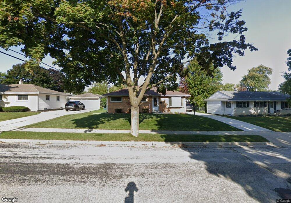
W150N8249 Saxony Dr Menomonee Falls, WI 53051
Estimated Value: $306,620 - $341,000
3
Beds
1
Bath
1,025
Sq Ft
$313/Sq Ft
Est. Value
About This Home
This home is located at W150N8249 Saxony Dr, Menomonee Falls, WI 53051 and is currently estimated at $320,905, approximately $313 per square foot. W150N8249 Saxony Dr is a home located in Waukesha County with nearby schools including North Middle School, Menomonee Falls High School, and Bethlehem Evangelical Lutheran School.
Ownership History
Date
Name
Owned For
Owner Type
Purchase Details
Closed on
May 24, 1996
Sold by
Collura John A and Collura Lynn A
Bought by
Milos Michael J and Milos Melissa J
Current Estimated Value
Home Financials for this Owner
Home Financials are based on the most recent Mortgage that was taken out on this home.
Original Mortgage
$103,500
Outstanding Balance
$6,054
Interest Rate
8.29%
Estimated Equity
$314,851
Create a Home Valuation Report for This Property
The Home Valuation Report is an in-depth analysis detailing your home's value as well as a comparison with similar homes in the area
Home Values in the Area
Average Home Value in this Area
Purchase History
| Date | Buyer | Sale Price | Title Company |
|---|---|---|---|
| Milos Michael J | $115,000 | -- |
Source: Public Records
Mortgage History
| Date | Status | Borrower | Loan Amount |
|---|---|---|---|
| Open | Milos Michael J | $103,500 |
Source: Public Records
Tax History Compared to Growth
Tax History
| Year | Tax Paid | Tax Assessment Tax Assessment Total Assessment is a certain percentage of the fair market value that is determined by local assessors to be the total taxable value of land and additions on the property. | Land | Improvement |
|---|---|---|---|---|
| 2024 | $3,023 | $270,900 | $86,800 | $184,100 |
| 2023 | $2,899 | $270,900 | $86,800 | $184,100 |
| 2022 | $2,794 | $176,300 | $59,900 | $116,400 |
| 2021 | $2,672 | $176,300 | $59,900 | $116,400 |
| 2020 | $2,826 | $176,300 | $59,900 | $116,400 |
| 2019 | $2,696 | $176,300 | $59,900 | $116,400 |
| 2018 | $2,816 | $176,300 | $59,900 | $116,400 |
| 2017 | $2,845 | $171,400 | $59,900 | $111,500 |
| 2016 | $2,891 | $171,400 | $59,900 | $111,500 |
| 2015 | $2,906 | $171,400 | $59,900 | $111,500 |
| 2014 | $3,103 | $171,400 | $59,900 | $111,500 |
| 2013 | $3,103 | $171,400 | $59,900 | $111,500 |
Source: Public Records
Map
Nearby Homes
- N84W15170 Knoll Terrace
- N85W14520 Manchester Dr
- N84W15750 Ridge Rd Unit 204
- N81W14117 Titan Ct
- W147N7725 Northpoint Dr
- N76W14595 N Point Ct
- N86W16193 Arthur Ave
- W163N8459 Arthur Ave
- Lt101 Main St
- Lt54 Main St
- Lt8 Main St
- Lt53 Main St
- Lt57 Main St
- Lt13 Main St
- Lt87 Main St
- Lt45 Main St
- Lt38 Main St
- Lt42 Main St
- Lt61 Main St
- Lt80 Main St
- W150N8257 Saxony Dr
- W150N8239 Saxony Dr
- N82W15108 Manhattan Dr
- W151N8272 Thomas Dr
- W150N8267 Saxony Dr
- W151N8262 Thomas Dr
- W151N8278 Thomas Dr
- W150N8242 Saxony Dr
- N82W15058 Manhattan Dr
- W150N8277 Saxony Dr
- W150N8252 Saxony Dr
- N82W15121 Manhattan Dr
- N82W15105 Manhattan Dr
- N82W15135 Manhattan Dr
- W151N8288 Thomas Dr
- W150N8264 Saxony Dr
- N82W15093 Manhattan Dr
- W150N8287 Saxony Dr
- W150N8213 Norman Dr
- W151N8267 Thomas Dr