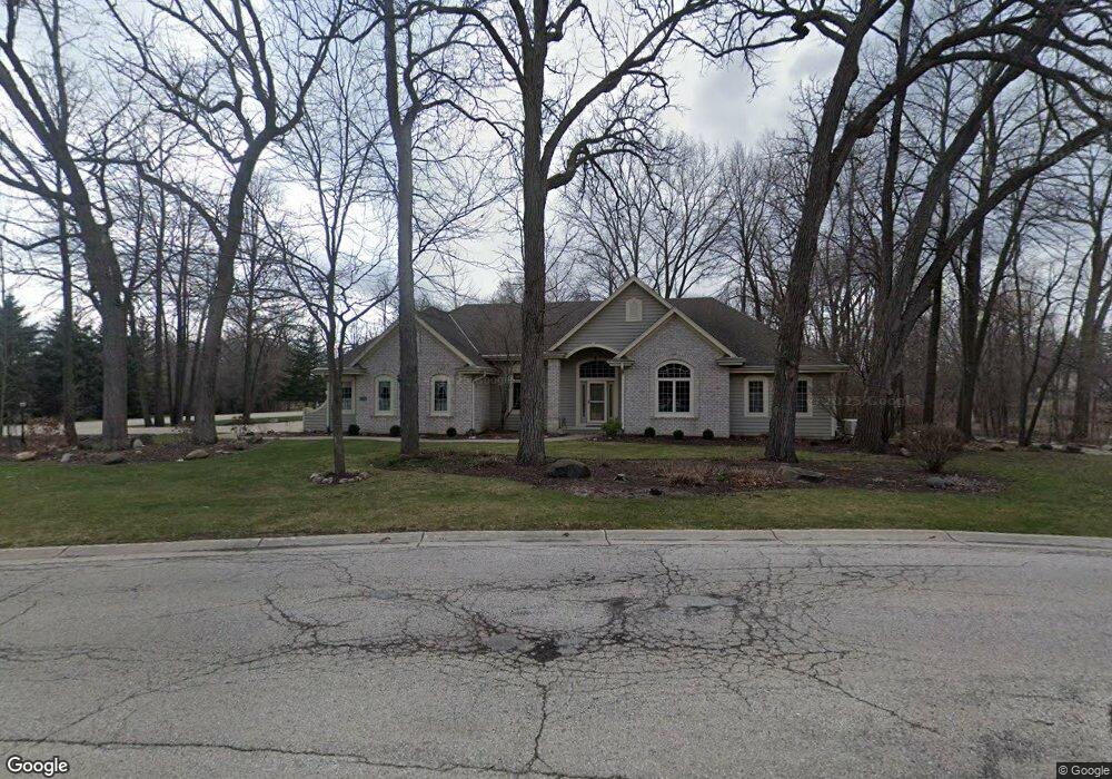
W150S7155 Westcot Dr Muskego, WI 53150
Estimated Value: $524,000 - $692,000
3
Beds
3
Baths
2,074
Sq Ft
$304/Sq Ft
Est. Value
About This Home
This home is located at W150S7155 Westcot Dr, Muskego, WI 53150 and is currently estimated at $630,906, approximately $304 per square foot. W150S7155 Westcot Dr is a home located in Waukesha County with nearby schools including Bay Lane Elementary School, Lake Denoon Middle School, and Muskego High School.
Ownership History
Date
Name
Owned For
Owner Type
Purchase Details
Closed on
Jan 30, 2003
Sold by
Domurat Builders Inc
Bought by
Meier Emil and Meier Jeanne
Current Estimated Value
Home Financials for this Owner
Home Financials are based on the most recent Mortgage that was taken out on this home.
Original Mortgage
$90,000
Interest Rate
5.76%
Mortgage Type
Purchase Money Mortgage
Purchase Details
Closed on
May 7, 2002
Sold by
Rosewood Estate Inc
Bought by
Miller Donald G
Create a Home Valuation Report for This Property
The Home Valuation Report is an in-depth analysis detailing your home's value as well as a comparison with similar homes in the area
Home Values in the Area
Average Home Value in this Area
Purchase History
| Date | Buyer | Sale Price | Title Company |
|---|---|---|---|
| Meier Emil | $299,900 | -- | |
| Miller Donald G | $20,000 | -- |
Source: Public Records
Mortgage History
| Date | Status | Borrower | Loan Amount |
|---|---|---|---|
| Previous Owner | Meier Emil | $90,000 |
Source: Public Records
Tax History Compared to Growth
Tax History
| Year | Tax Paid | Tax Assessment Tax Assessment Total Assessment is a certain percentage of the fair market value that is determined by local assessors to be the total taxable value of land and additions on the property. | Land | Improvement |
|---|---|---|---|---|
| 2024 | $5,202 | $450,300 | $112,300 | $338,000 |
| 2023 | $5,145 | $450,300 | $112,300 | $338,000 |
| 2022 | $5,020 | $450,300 | $112,300 | $338,000 |
| 2021 | $5,824 | $450,300 | $112,300 | $338,000 |
| 2020 | $5,409 | $384,900 | $98,100 | $286,800 |
| 2019 | $5,379 | $384,900 | $98,100 | $286,800 |
| 2018 | $5,436 | $384,900 | $98,100 | $286,800 |
| 2017 | $6,283 | $384,900 | $98,100 | $286,800 |
| 2016 | $5,574 | $352,000 | $93,600 | $258,400 |
| 2015 | $5,620 | $352,000 | $93,600 | $258,400 |
| 2014 | $6,119 | $352,000 | $93,600 | $258,400 |
| 2013 | $6,119 | $352,000 | $93,600 | $258,400 |
Source: Public Records
Map
Nearby Homes
- S70W14845 Dartmouth Cir
- S67W14570 Gaulke Ct
- Lt8 Twin Silos Ct
- W145S7644 Durham Dr
- W162S7043 Olive Cir Unit 22
- N51W19119 Quietwood Dr
- W163S7358 Bay Lane Dr
- S68W13611 Hale Park Cir
- S66W16256 Chestnut Ridge Ct
- Lt0 College Ave
- Lt17 W Old Farm Rd
- W169S7219 Avon Ct
- S75W16788 Jacob Ct Unit 12
- Lt1 College Ave
- W170S7361 Parkland Dr Unit 13
- W171S7452 Lannon Dr
- S63W13178 Windsor Rd
- S78W16730 Spinnaker Dr
- 6180 Preston Ln
- S73W17268 Lake Dr
- S71W15044 Rosewood Dr
- S71W14996 Westcot Dr
- S71W14998 Westcot Dr
- W150S7167 Westcot Dr
- W149S7152 Rosewood Dr
- S71W14976 Westcot Dr
- S71W14974 Westcot Dr
- S71W14939 Westcot Dr
- S71W15063 Rosewood Dr
- S71W14948 Rosewood Dr
- S71W15072 Rosewood Dr
- W150S7179 Westcot Dr
- S70W14965 Cornell Cir Unit 2
- S70W14965 Cornell Cir Unit 8
- S71W14924 Westcot Dr
- S71W14922 Westcot Dr
- S70W14949 Cornell Cir
- S71W14883 Westcot Dr
- S71W15110 Rosewood Dr
- S71W15117 Rosewood Dr