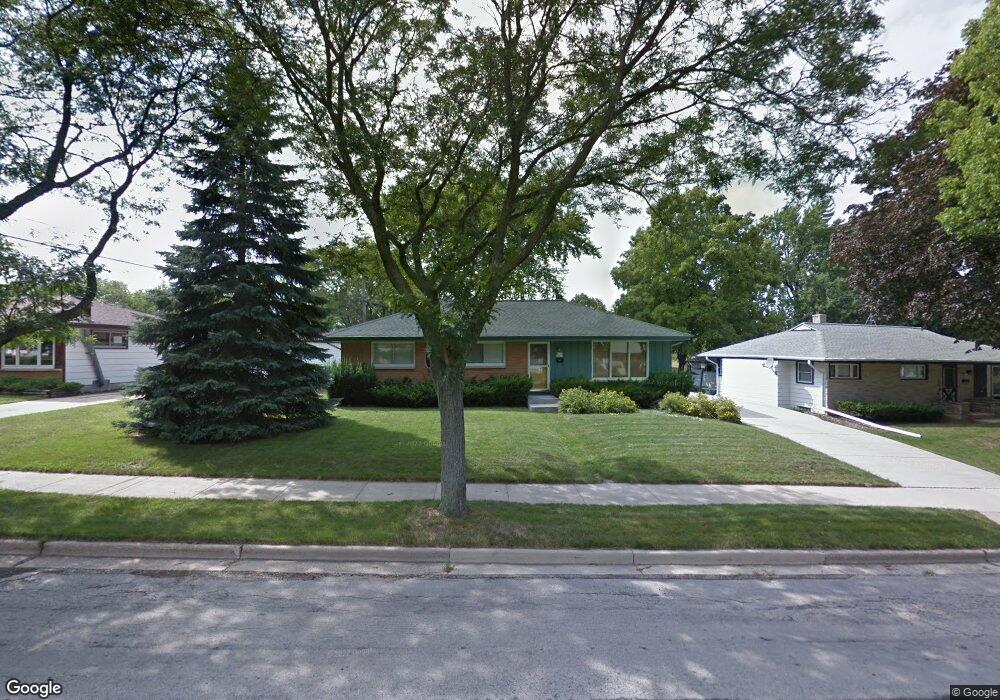
W151N8277 Thomas Dr Menomonee Falls, WI 53051
Estimated Value: $324,395 - $355,000
3
Beds
2
Baths
1,196
Sq Ft
$282/Sq Ft
Est. Value
About This Home
This home is located at W151N8277 Thomas Dr, Menomonee Falls, WI 53051 and is currently estimated at $337,349, approximately $282 per square foot. W151N8277 Thomas Dr is a home located in Waukesha County with nearby schools including North Middle School, Menomonee Falls High School, and Bethlehem Evangelical Lutheran School.
Ownership History
Date
Name
Owned For
Owner Type
Purchase Details
Closed on
Mar 30, 1998
Sold by
Becker Robin A
Bought by
Mason Donald M
Current Estimated Value
Home Financials for this Owner
Home Financials are based on the most recent Mortgage that was taken out on this home.
Original Mortgage
$119,600
Outstanding Balance
$22,883
Interest Rate
7.19%
Estimated Equity
$314,467
Create a Home Valuation Report for This Property
The Home Valuation Report is an in-depth analysis detailing your home's value as well as a comparison with similar homes in the area
Home Values in the Area
Average Home Value in this Area
Purchase History
| Date | Buyer | Sale Price | Title Company |
|---|---|---|---|
| Mason Donald M | $125,900 | -- |
Source: Public Records
Mortgage History
| Date | Status | Borrower | Loan Amount |
|---|---|---|---|
| Open | Mason Donald M | $119,600 |
Source: Public Records
Tax History Compared to Growth
Tax History
| Year | Tax Paid | Tax Assessment Tax Assessment Total Assessment is a certain percentage of the fair market value that is determined by local assessors to be the total taxable value of land and additions on the property. | Land | Improvement |
|---|---|---|---|---|
| 2024 | $3,066 | $274,600 | $87,600 | $187,000 |
| 2023 | $2,940 | $274,600 | $87,600 | $187,000 |
| 2022 | $2,968 | $186,800 | $60,500 | $126,300 |
| 2021 | $2,838 | $186,800 | $60,500 | $126,300 |
| 2020 | $2,998 | $186,800 | $60,500 | $126,300 |
| 2019 | $2,862 | $186,800 | $60,500 | $126,300 |
| 2018 | $2,993 | $186,800 | $60,500 | $126,300 |
| 2017 | $3,110 | $186,800 | $60,500 | $126,300 |
| 2016 | $3,162 | $186,800 | $60,500 | $126,300 |
| 2015 | $3,176 | $186,800 | $60,500 | $126,300 |
| 2014 | $3,389 | $186,800 | $60,500 | $126,300 |
| 2013 | $3,389 | $186,800 | $60,500 | $126,300 |
Source: Public Records
Map
Nearby Homes
- N84W15170 Knoll Terrace
- N84W15750 Ridge Rd Unit 204
- N85W14520 Manchester Dr
- N81W14117 Titan Ct
- N86W16193 Arthur Ave
- W147N7725 Northpoint Dr
- W163N8459 Arthur Ave
- Lt101 Main St
- Lt54 Main St
- Lt8 Main St
- Lt53 Main St
- Lt57 Main St
- Lt13 Main St
- Lt87 Main St
- Lt45 Main St
- Lt38 Main St
- Lt42 Main St
- Lt61 Main St
- Lt80 Main St
- Lt86 Main St
- W151N8287 Thomas Dr
- W151N8267 Thomas Dr
- N82W15180 Manhattan Dr
- W151N8303 Thomas Dr
- W152N8302 Elm Ln
- N82W15200 Manhattan Dr
- W151N8272 Thomas Dr
- W151N8278 Thomas Dr
- W151N8262 Thomas Dr
- W152N8310 Elm Ln
- W151N8288 Thomas Dr
- W151N8313 Thomas Dr
- N82W15177 Manhattan Dr
- N82W15163 Manhattan Dr
- N82W15199 Manhattan Dr
- W151N8302 Thomas Dr
- N82W15108 Manhattan Dr
- W152N8316 Elm Ln
- W151N8325 Thomas Dr
- N82W15149 Manhattan Dr