W155N6919 MacAllan Ct Unit 219 Menomonee Falls, WI 53051
Estimated Value: $395,000 - $441,000
3
Beds
2
Baths
1,872
Sq Ft
$218/Sq Ft
Est. Value
About This Home
This home is located at W155N6919 MacAllan Ct Unit 219, Menomonee Falls, WI 53051 and is currently estimated at $408,893, approximately $218 per square foot. W155N6919 MacAllan Ct Unit 219 is a home located in Waukesha County with nearby schools including North Middle School, Menomonee Falls High School, and Calvary Baptist School.
Ownership History
Date
Name
Owned For
Owner Type
Purchase Details
Closed on
Dec 19, 2014
Sold by
Mckillip Michael R
Bought by
Michael Robert Mckillip Family Trust
Current Estimated Value
Purchase Details
Closed on
Dec 24, 2013
Sold by
Stephens Scott L and Stephens Melinda S
Bought by
Mckillip Michael R
Home Financials for this Owner
Home Financials are based on the most recent Mortgage that was taken out on this home.
Original Mortgage
$196,000
Outstanding Balance
$148,156
Interest Rate
4.5%
Mortgage Type
New Conventional
Estimated Equity
$260,737
Purchase Details
Closed on
Aug 2, 2006
Sold by
Pilgrim Glen Llc
Bought by
Stephens Scott L and Stephens Melinda S
Home Financials for this Owner
Home Financials are based on the most recent Mortgage that was taken out on this home.
Original Mortgage
$212,468
Interest Rate
7%
Mortgage Type
Purchase Money Mortgage
Create a Home Valuation Report for This Property
The Home Valuation Report is an in-depth analysis detailing your home's value as well as a comparison with similar homes in the area
Home Values in the Area
Average Home Value in this Area
Purchase History
| Date | Buyer | Sale Price | Title Company |
|---|---|---|---|
| Michael Robert Mckillip Family Trust | -- | None Available | |
| Mckillip Michael R | $245,000 | None Available | |
| Stephens Scott L | $265,600 | None Available |
Source: Public Records
Mortgage History
| Date | Status | Borrower | Loan Amount |
|---|---|---|---|
| Open | Mckillip Michael R | $196,000 | |
| Previous Owner | Stephens Scott L | $212,468 |
Source: Public Records
Tax History Compared to Growth
Tax History
| Year | Tax Paid | Tax Assessment Tax Assessment Total Assessment is a certain percentage of the fair market value that is determined by local assessors to be the total taxable value of land and additions on the property. | Land | Improvement |
|---|---|---|---|---|
| 2024 | $3,809 | $339,100 | $48,000 | $291,100 |
| 2023 | $3,660 | $339,100 | $48,000 | $291,100 |
| 2022 | $3,985 | $248,400 | $35,000 | $213,400 |
| 2021 | $3,814 | $248,400 | $35,000 | $213,400 |
| 2020 | $4,013 | $248,400 | $35,000 | $213,400 |
| 2019 | $3,838 | $248,400 | $35,000 | $213,400 |
| 2018 | $4,031 | $248,400 | $35,000 | $213,400 |
| 2017 | $4,172 | $248,400 | $35,000 | $213,400 |
| 2016 | $4,246 | $248,400 | $35,000 | $213,400 |
| 2015 | $4,255 | $248,400 | $35,000 | $213,400 |
| 2014 | $4,532 | $248,400 | $35,000 | $213,400 |
| 2013 | $4,532 | $248,400 | $35,000 | $213,400 |
Source: Public Records
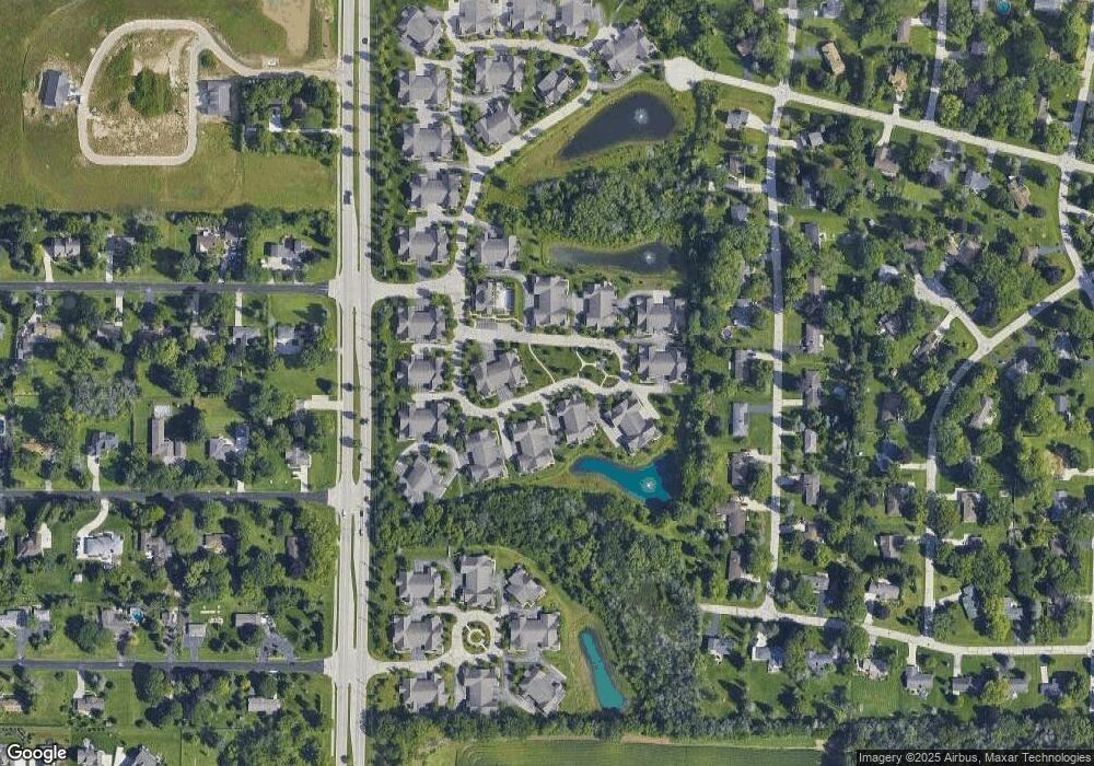
Map
Nearby Homes
- N69W15889 Eileen Ave
- N67W15832 Tamarack Trail
- W148N7311 Woodland Dr
- W155N7481 Pebble Ct
- N65W14542 Redwood Dr
- W142N6966 Oakwood Dr
- W148N7497 Woodland Dr
- W139N6995 Bay Ridge Ln
- N53W19764 Kingair Dr
- N53W19710 Kingair Dr
- N53W19776 Kingair Dr
- N76W14595 N Point Ct
- N61W16085 Hawthorne Dr
- Lt2 Good Hope Rd
- Lt7 Morning Star Ct
- N70W17357 Fawn Ave
- N74W13737 Appleton Ave Unit 107
- W134N6759 Wild Rose Ct
- W137N6161 Weyer Farm Ct
- N63W13412 Hummingbird Way
- W155N6921 MacAllan Ct Unit 220
- W155N6917 MacAllan Ct Unit 218
- W155N6915 MacAllan Ct Unit 217
- W155N6937 MacAllan Ct Unit 212
- W155N6933 MacAllan Ct
- W155N6931 MacAllan Ct
- W155N6947 MacAllan Ct Unit 208
- W155N6945 MacAllan Ct Unit 207
- W155N6943 MacAllan Ct
- W155N6959 MacAllan Ct Unit 204
- W155N6957 MacAllan Ct Unit 203
- W155N6955 MacAllan Ct Unit 202
- W155N6953 MacAllan Ct Unit 201
- N69W15493 MacAllan Ct
- N69W15491 MacAllan Ct Unit 254
- N69W15489 MacAllan Ct
- N69W15479 MacAllan Ct
- N69W15477 MacAllan Ct
- N69W15475 MacAllan Ct
- N69W15473 MacAllan Ct