Estimated Value: $105,299 - $262,000
2
Beds
1
Bath
980
Sq Ft
$160/Sq Ft
Est. Value
About This Home
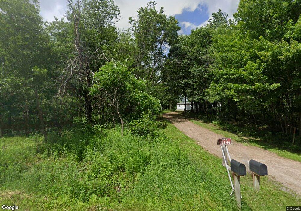
This home is located at W15646 Kay Rd, Osseo, WI 54758 and is currently estimated at $156,825, approximately $160 per square foot. W15646 Kay Rd is a home located in Jackson County with nearby schools including Osseo-Fairchild Elementary School, Osseo-Fairchild Middle School, and Osseo-Fairchild High School.
Ownership History
Date
Name
Owned For
Owner Type
Purchase Details
Closed on
Jun 9, 2023
Sold by
Schmitt Joey E
Bought by
Schmitt Aaron M
Current Estimated Value
Purchase Details
Closed on
Jan 12, 2018
Sold by
Myhre Gary A
Bought by
Schmitt Joey E
Purchase Details
Closed on
Mar 29, 2017
Sold by
Myhre Gary A
Bought by
Schmitt Joey E
Purchase Details
Closed on
Sep 19, 2007
Sold by
Schmidt Kirk T
Bought by
Myhre Gary A
Home Financials for this Owner
Home Financials are based on the most recent Mortgage that was taken out on this home.
Original Mortgage
$44,000
Interest Rate
6.63%
Mortgage Type
Purchase Money Mortgage
Purchase Details
Closed on
Jan 3, 2005
Sold by
Schmidt Alfred C
Bought by
Schmidt Kirk T
Create a Home Valuation Report for This Property
The Home Valuation Report is an in-depth analysis detailing your home's value as well as a comparison with similar homes in the area
Home Values in the Area
Average Home Value in this Area
Purchase History
| Date | Buyer | Sale Price | Title Company |
|---|---|---|---|
| Schmitt Aaron M | $55,000 | Total Title Services | |
| Schmitt Joey E | $46,000 | None Available | |
| Schmitt Joey E | $8,000 | -- | |
| Myhre Gary A | $64,000 | Total Title Services Llc | |
| Schmidt Kirk T | -- | None Available |
Source: Public Records
Mortgage History
| Date | Status | Borrower | Loan Amount |
|---|---|---|---|
| Previous Owner | Myhre Gary A | $44,000 |
Source: Public Records
Tax History Compared to Growth
Tax History
| Year | Tax Paid | Tax Assessment Tax Assessment Total Assessment is a certain percentage of the fair market value that is determined by local assessors to be the total taxable value of land and additions on the property. | Land | Improvement |
|---|---|---|---|---|
| 2024 | $702 | $59,400 | $17,500 | $41,900 |
| 2023 | $854 | $59,400 | $17,500 | $41,900 |
| 2022 | $881 | $59,400 | $17,500 | $41,900 |
| 2021 | $588 | $29,900 | $7,900 | $22,000 |
| 2020 | $558 | $29,900 | $7,900 | $22,000 |
| 2019 | $555 | $29,900 | $7,900 | $22,000 |
| 2018 | $551 | $29,900 | $7,900 | $22,000 |
| 2017 | $435 | $29,900 | $7,900 | $22,000 |
| 2016 | $576 | $37,700 | $15,700 | $22,000 |
| 2015 | $900 | $37,700 | $15,700 | $22,000 |
| 2013 | $616 | $37,700 | $15,700 | $22,000 |
Source: Public Records
Map
Nearby Homes
- 0 N Sand Ln
- Lot 4 Moe Rd
- 14707 Old Highway 10
- W14702 Old Highway 10
- 000 Old Highway 10
- 001 Old Highway 10
- E23745 Gerth Rd
- N12757 Rindahl Valley Rd
- 002 Old Highway 10
- 000 Us Highway 10
- N14253 McGower Rd
- N48025 County Hwy B
- 12135 Norway Rd
- 12133 Norway Rd
- 12139 Norway Rd
- 12153 Norway Rd
- 51093 Oak Ridge Rd
- 51025 Ridge View Rd
- +/- 13 Acres County B Monthei Rd
- 12825 Thomas St
- W15664 Kay Rd
- N13933 N Sand Ln
- 13925 N Sand Ln
- N13925 N Sand Ln
- N13986 N Sand Ln
- W15754 Kay Rd
- N13840 N Sand Ln
- N14073 Sand Ln
- W15565 Us Highway 10
- W15699 Kay Rd
- N13818 N Sand Ln
- N13810 N Sand Ln
- W15501 Us Highway 10
- W15775 Kay Rd
- W15719 Us Highway 10
- W15709 Us Highway 10
- 15525 Vietnam War Veterans Memorial Hwy
- N13774 N Sand Ln
- W15901 Kay Rd
- W15759 Us Highway 10