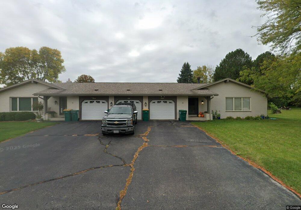
W157N10167 Mohawk Dr Germantown, WI 53022
Estimated Value: $265,000 - $314,227
3
Beds
2
Baths
1,941
Sq Ft
$149/Sq Ft
Est. Value
About This Home
This home is located at W157N10167 Mohawk Dr, Germantown, WI 53022 and is currently estimated at $288,557, approximately $148 per square foot. W157N10167 Mohawk Dr is a home located in Washington County with nearby schools including County Line Elementary School, Kennedy Middle School, and Germantown High School.
Ownership History
Date
Name
Owned For
Owner Type
Purchase Details
Closed on
Oct 31, 2013
Sold by
Tri City National Bank
Bought by
Spor Evan S
Current Estimated Value
Home Financials for this Owner
Home Financials are based on the most recent Mortgage that was taken out on this home.
Original Mortgage
$101,250
Outstanding Balance
$75,537
Interest Rate
4.24%
Mortgage Type
New Conventional
Estimated Equity
$213,020
Create a Home Valuation Report for This Property
The Home Valuation Report is an in-depth analysis detailing your home's value as well as a comparison with similar homes in the area
Home Values in the Area
Average Home Value in this Area
Purchase History
| Date | Buyer | Sale Price | Title Company |
|---|---|---|---|
| Spor Evan S | $135,000 | -- |
Source: Public Records
Mortgage History
| Date | Status | Borrower | Loan Amount |
|---|---|---|---|
| Open | Spor Evan S | $101,250 |
Source: Public Records
Tax History Compared to Growth
Tax History
| Year | Tax Paid | Tax Assessment Tax Assessment Total Assessment is a certain percentage of the fair market value that is determined by local assessors to be the total taxable value of land and additions on the property. | Land | Improvement |
|---|---|---|---|---|
| 2024 | $3,512 | $284,000 | $50,000 | $234,000 |
| 2023 | $3,970 | $249,500 | $45,000 | $204,500 |
| 2022 | $3,964 | $249,500 | $45,000 | $204,500 |
| 2021 | $3,800 | $249,500 | $45,000 | $204,500 |
| 2020 | $3,970 | $249,500 | $45,000 | $204,500 |
| 2019 | $3,800 | $249,500 | $45,000 | $204,500 |
| 2018 | $3,020 | $186,400 | $48,000 | $138,400 |
| 2017 | $2,887 | $186,400 | $48,000 | $138,400 |
| 2016 | $2,864 | $186,400 | $48,000 | $138,400 |
| 2015 | $2,966 | $186,400 | $48,000 | $138,400 |
| 2014 | $3,092 | $186,400 | $48,000 | $138,400 |
| 2013 | $3,501 | $213,800 | $48,000 | $165,800 |
Source: Public Records
Map
Nearby Homes
- W154N10077 Moonlite Dr
- W153N9883 Neptune Dr
- N98W15894 Concord Rd
- N101W16795 Gunflint Trail
- W165N10401 Wagon Trail
- W162N9761 Mayflower Dr
- N106W16321 Old Farm Rd
- The Rosebud Plan at Heritage Park North
- The Charlotte Plan at Heritage Park North
- The Madison Plan at Heritage Park North
- The Julia Plan at Heritage Park North
- The Aubrey Plan at Heritage Park North
- The Isabella Plan at Heritage Park North
- The Elsa Plan at Heritage Park North
- The Prescott Plan at Heritage Park North
- The Celina Plan at Heritage Park North
- The Geneva Plan at Heritage Park North
- The Neenah Plan at Heritage Park North
- N99W16701 Woodcock Rd
- W168N10125 Bittersweet Trail
- W157N10165 Mohawk Dr
- N101W15752 Council Bluffs Dr
- W157N10180 Mohawk Dr
- W157N10178 Mohawk Dr
- W158N10172 Shoshone Ct
- W158N10174 Shoshone Ct
- W157N10210 Mohawk Dr
- N101W15725 Council Bluffs Dr
- N102W15801 Flintlock Trail
- N102W15833 Flintlock Trail
- N101W15648 Council Bluffs Dr
- 15833 Flintlock Trail
- N101W15739 Council Bluffs Dr
- W157N10224 Mohawk Dr
- W156N10139 Pawnee Ct
- W156N10137 Pawnee Ct
- W158N10165 Shoshone Ct
- N101W15646 Council Bluffs Dr
- W158N10141 Shoshone Ct
- W157N10238 Mohawk Dr