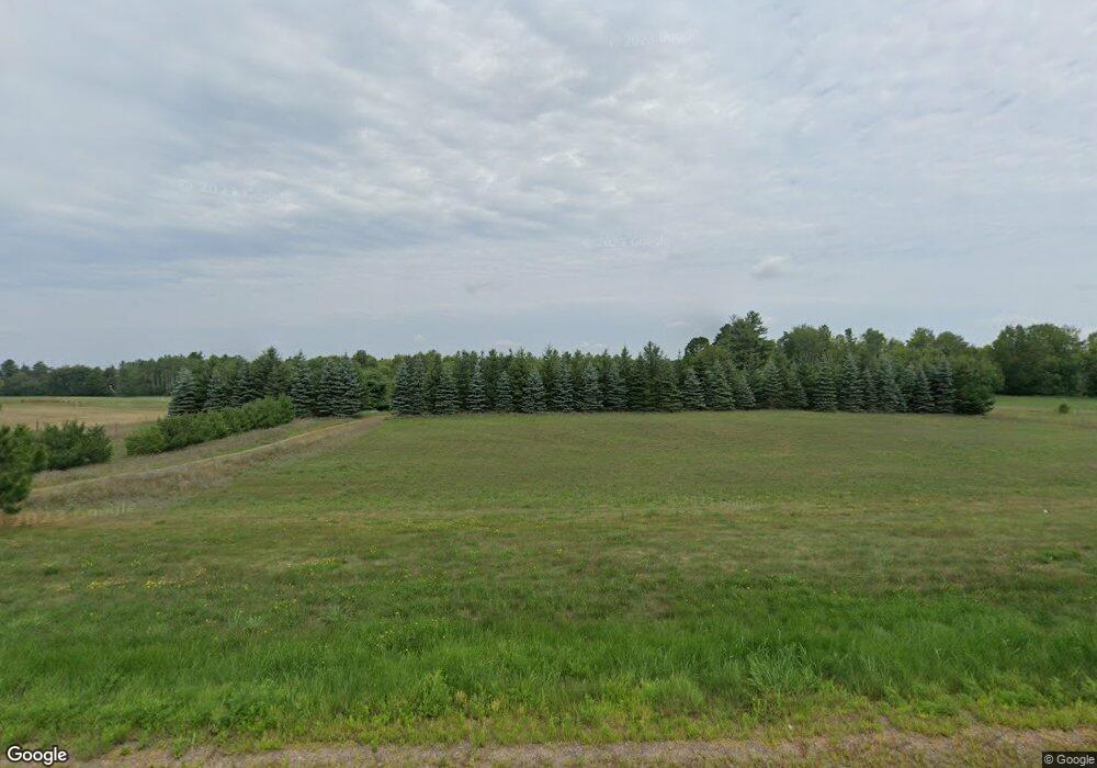
W1616 County Highway A Springbrook, WI 54875
Estimated Value: $349,804 - $417,000
3
Beds
2
Baths
1,812
Sq Ft
$212/Sq Ft
Est. Value
About This Home
This home is located at W1616 County Highway A, Springbrook, WI 54875 and is currently estimated at $383,402, approximately $211 per square foot. W1616 County Highway A is a home located in Washburn County with nearby schools including Spooner Elementary School, Spooner Middle School, and Spooner High School.
Ownership History
Date
Name
Owned For
Owner Type
Purchase Details
Closed on
Nov 17, 2021
Sold by
Prine Michael T and Prine Laura M
Bought by
Rickert Charles R and Rickert Diana F
Current Estimated Value
Purchase Details
Closed on
Aug 20, 2019
Sold by
Wagner Alfred G and Wagner Irene C
Bought by
Prine Michael T and Prine Laura M
Purchase Details
Closed on
Apr 6, 2005
Sold by
Martin Elmoine M
Bought by
Wagner Alfred G and Wagner Irene C
Create a Home Valuation Report for This Property
The Home Valuation Report is an in-depth analysis detailing your home's value as well as a comparison with similar homes in the area
Purchase History
| Date | Buyer | Sale Price | Title Company |
|---|---|---|---|
| Rickert Charles R | $263,000 | -- | |
| Prine Michael T | $170,000 | -- | |
| Wagner Alfred G | $34,500 | -- |
Source: Public Records
Mortgage History
| Date | Status | Borrower | Loan Amount |
|---|---|---|---|
| Closed | Wagner Alfred G | $0 |
Source: Public Records
Tax History
| Year | Tax Paid | Tax Assessment Tax Assessment Total Assessment is a certain percentage of the fair market value that is determined by local assessors to be the total taxable value of land and additions on the property. | Land | Improvement |
|---|---|---|---|---|
| 2025 | $3,370 | $165,900 | $7,900 | $158,000 |
| 2023 | $3,154 | $166,100 | $8,100 | $158,000 |
| 2022 | $2,948 | $166,100 | $8,100 | $158,000 |
| 2021 | $2,680 | $166,100 | $8,100 | $158,000 |
| 2020 | $2,751 | $166,100 | $8,100 | $158,000 |
| 2019 | $2,011 | $114,900 | $8,100 | $106,800 |
| 2018 | $1,967 | $114,900 | $8,100 | $106,800 |
| 2017 | $1,956 | $114,900 | $8,100 | $106,800 |
| 2016 | $1,848 | $113,300 | $8,100 | $105,200 |
| 2015 | $1,761 | $113,300 | $8,100 | $105,200 |
| 2014 | $1,699 | $113,300 | $8,100 | $105,200 |
| 2012 | $1,651 | $113,900 | $8,700 | $105,200 |
Source: Public Records
Map
Nearby Homes
- W1455 County Rd E
- N6718 5th St
- 6772 5th St
- Lot 1 Timber Wolf Dr
- Lot 1 Division Ave
- 0 Division Ave
- W428 Wisconsin 70
- 16858 4th St S
- W2551 Winton Rd
- N8110 Stone Lake Rd
- 16145 W Boylan Rd
- Lot 1 Hwy 70
- 0 Fire Lane Rd Unit NST7023699
- 0 Fire Lane Rd Unit 26376520
- 0 Fire Lane Rd Unit 1598542
- 1.74 Acres 9th St
- W3652 Willers Rd
- N8829 Cty E Rd
- 5781 N Spruce Ln
- 3380 W Highway 63
- 1616 County Highway A
- W1616 County Highway A
- W1650 County Highway A
- W1616 Hwy A
- 30 acres Hwy A
- W1715 County Highway A
- W1534 Hwy A
- 1720 W Hwy A
- W1720 County Highway A
- W1775 County Highway A
- N/A County Highway A
- W1891 Hwy A
- N6433 Melton Rd
- W1720 Hwy A
- 6601 Metcalf Rd
- 6449 Fred Tripp Rd
- N6601 Metcalf Rd
- N6557 Metcalf Rd
- 6390 Fred Tripp Rd
- 6580 Metcalf Rd
Your Personal Tour Guide
Ask me questions while you tour the home.
