W16288 Simonson Rd Whitehall, WI 54773
Estimated Value: $252,070 - $318,000
--
Bed
--
Bath
--
Sq Ft
2
Acres
About This Home
This home is located at W16288 Simonson Rd, Whitehall, WI 54773 and is currently estimated at $279,018. W16288 Simonson Rd is a home located in Trempealeau County with nearby schools including Whitehall Memorial Elementary School, Whitehall Memorial Jr./Sr. High School, and Fly Creek Amish School.
Ownership History
Date
Name
Owned For
Owner Type
Purchase Details
Closed on
May 1, 2023
Sold by
Miller Andy M
Bought by
Miller Wilbur A and Miller Rachel E.
Current Estimated Value
Purchase Details
Closed on
Nov 21, 2012
Sold by
Skoglund Karl A and Olson Bernard J
Bought by
Miller Allen A and Miller Lester A
Home Financials for this Owner
Home Financials are based on the most recent Mortgage that was taken out on this home.
Original Mortgage
$145,000
Interest Rate
3.38%
Mortgage Type
Purchase Money Mortgage
Create a Home Valuation Report for This Property
The Home Valuation Report is an in-depth analysis detailing your home's value as well as a comparison with similar homes in the area
Home Values in the Area
Average Home Value in this Area
Purchase History
| Date | Buyer | Sale Price | Title Company |
|---|---|---|---|
| Miller Wilbur A | $200,000 | Kostner Koslo & Brovold Llc | |
| Miller Andy M | $200,000 | Kostner Koslo & Brovold Llc | |
| Miller Allen A | $162,000 | None Available |
Source: Public Records
Mortgage History
| Date | Status | Borrower | Loan Amount |
|---|---|---|---|
| Previous Owner | Miller Allen A | $145,000 |
Source: Public Records
Tax History Compared to Growth
Tax History
| Year | Tax Paid | Tax Assessment Tax Assessment Total Assessment is a certain percentage of the fair market value that is determined by local assessors to be the total taxable value of land and additions on the property. | Land | Improvement |
|---|---|---|---|---|
| 2024 | $3,175 | $183,000 | $8,800 | $174,200 |
| 2023 | $2,988 | $183,000 | $8,800 | $174,200 |
| 2022 | $2,420 | $183,000 | $8,800 | $174,200 |
| 2021 | $2,458 | $130,300 | $6,100 | $124,200 |
| 2020 | $2,705 | $18,520 | $6,100 | $12,420 |
| 2019 | $2,688 | $130,300 | $6,100 | $124,200 |
| 2018 | $2,433 | $130,300 | $6,100 | $124,200 |
| 2017 | $2,386 | $130,300 | $6,100 | $124,200 |
| 2016 | $2,369 | $130,300 | $6,100 | $124,200 |
| 2015 | $2,201 | $130,300 | $6,100 | $124,200 |
| 2014 | $2,193 | $130,300 | $6,100 | $124,200 |
| 2011 | $2,076 | $130,300 | $6,100 | $124,200 |
Source: Public Records
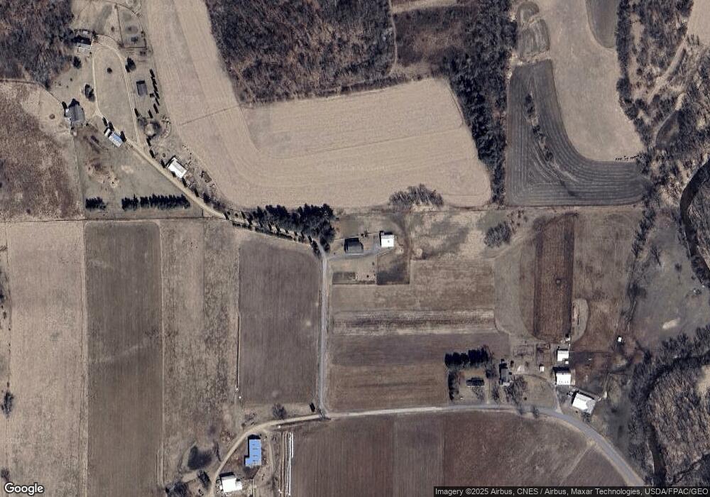
Map
Nearby Homes
- N36836 Us Highway 53 121
- 36290 Camp St
- 18144 Anderson St
- 36015 Main St
- 18124 Fredrickson St
- 18430 Hillside Dr
- 39971 Anderson St
- 39885 Winsand Dr
- 40257 Olson St
- N34855 County Rd S
- N34701 County Rd N
- W12198 County Road P
- N32838 Briten Rd
- XX Vold Rd
- N43922 County Road O
- N43922 Cr-O
- N34701 County Rd S
- 000 Kindschy Rd
- 517 W Broadway St
- 102 S Peterson Ave
- W15984 Simonson Rd
- 0 Simonson Rd
- W15948 Simonson Rd
- N37712 Thompson Coulee Rd
- N37885 Us Highway 53 121
- N37979 Us Highway 53 121
- N37830 Thompson Coulee Rd
- W15736 Mcrae Ln
- N37812 U S 53
- 37830 Thompson Coulee Rd
- W15598 Honey Suckle Ln
- Lot 3 Honey Suckle Ln
- Lot 1 Honey Suckle Ln
- 15591 Honey Suckle Ln
- W15591 Honeysuckle Ln
- N37392 Us Highway 53 121
- N37593 Thompson Coulee Rd
- W15615 Mcrae Ln
- W15551 Honeysuckle Ln
- N37988 Thompson Coulee Rd