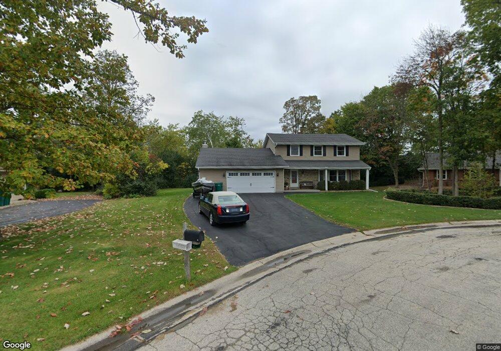
W163N10157 Apache Ct Germantown, WI 53022
Estimated Value: $427,514 - $449,000
3
Beds
2
Baths
2,000
Sq Ft
$220/Sq Ft
Est. Value
About This Home
This home is located at W163N10157 Apache Ct, Germantown, WI 53022 and is currently estimated at $440,379, approximately $220 per square foot. W163N10157 Apache Ct is a home located in Washington County with nearby schools including County Line Elementary School, Kennedy Middle School, and Germantown High School.
Ownership History
Date
Name
Owned For
Owner Type
Purchase Details
Closed on
Jun 16, 2025
Sold by
Jors Susan M and Jors Y
Bought by
Jors Wayne K and Jors Y
Current Estimated Value
Purchase Details
Closed on
Dec 18, 2010
Sold by
Jors Wayne and Jors Susan M
Bought by
Jors Aaron C
Purchase Details
Closed on
Sep 25, 2008
Sold by
Jors Susan M
Bought by
Jors Wayne and Jors Susan M
Create a Home Valuation Report for This Property
The Home Valuation Report is an in-depth analysis detailing your home's value as well as a comparison with similar homes in the area
Home Values in the Area
Average Home Value in this Area
Purchase History
| Date | Buyer | Sale Price | Title Company |
|---|---|---|---|
| Jors Wayne K | -- | Us Title And Closing Services | |
| Jors Aaron C | $170,500 | None Available | |
| Jors Wayne | $75,000 | -- |
Source: Public Records
Tax History Compared to Growth
Tax History
| Year | Tax Paid | Tax Assessment Tax Assessment Total Assessment is a certain percentage of the fair market value that is determined by local assessors to be the total taxable value of land and additions on the property. | Land | Improvement |
|---|---|---|---|---|
| 2024 | $4,771 | $377,500 | $81,000 | $296,500 |
| 2023 | $4,328 | $270,200 | $67,200 | $203,000 |
| 2022 | $4,318 | $270,200 | $67,200 | $203,000 |
| 2021 | $4,141 | $270,200 | $67,200 | $203,000 |
| 2020 | $4,319 | $270,200 | $67,200 | $203,000 |
| 2019 | $4,137 | $270,200 | $67,200 | $203,000 |
| 2018 | $4,407 | $266,100 | $61,300 | $204,800 |
| 2017 | $4,192 | $266,100 | $61,300 | $204,800 |
| 2016 | $4,161 | $266,100 | $61,300 | $204,800 |
| 2015 | $4,115 | $255,000 | $61,300 | $193,700 |
| 2014 | $4,199 | $251,800 | $61,300 | $190,500 |
| 2013 | $4,053 | $246,900 | $70,000 | $176,900 |
Source: Public Records
Map
Nearby Homes
- N101W16795 Gunflint Trail
- N99W16701 Woodcock Rd
- W165N10401 Wagon Trail
- W168N10125 Bittersweet Trail
- N98W15894 Concord Rd
- W154N10077 Moonlite Dr
- N106W16321 Old Farm Rd
- W153N9883 Neptune Dr
- N100W17560 Whitetail Run
- W176N9746 Riversbend Cir E Unit E
- W176N9734 Riversbend Cir E
- N99W17909 Appletree Ct Unit D-102
- N108W17282 Lilac Ln
- W156N10904 Catskill Ln
- W180N9890 Riversbend Cir W
- W179N9765 Riversbend Cir W
- N110W16867 Ashbury Cir Unit 3
- N119W14982 Ivy Ln
- N55W20134 Magnolia Ln
- N92W17274 Forest Dr
- W164N10141 Apache Ct
- W163N10163 Apache Ct
- W163N10176 Apache Ct
- N101W16358 Santa fe Dr
- N101W16426 Santa fe Dr
- W163N10138 Apache Ct
- W163N10152 Apache Ct
- N102W16413 Flintlock Trail
- W163N10164 Apache Ct
- W163N10130 Apache Ct
- N101W16478 Santa fe Dr
- N102W16443 Flintlock Trail
- W162N10155 Indianwood Dr
- N101W16379 Santa fe Dr
- N101W16353 Santa fe Dr
- W162N10161 Indianwood Dr
- N101W16325 Santa fe Dr
- N101W16258 Santa fe Dr
- N101W16417 Santa fe Dr
- N101W16301 Santa fe Dr