W16428 Deer Trail Ln Athelstane, WI 54104
Estimated Value: $205,000 - $303,000
--
Bed
--
Bath
--
Sq Ft
1.6
Acres
About This Home
This home is located at W16428 Deer Trail Ln, Athelstane, WI 54104 and is currently estimated at $259,210. W16428 Deer Trail Ln is a home located in Marinette County with nearby schools including Wabeno Elementary School and Wabeno High School.
Ownership History
Date
Name
Owned For
Owner Type
Purchase Details
Closed on
Jul 10, 2008
Sold by
Scheuerman Gary F
Bought by
The Gary F & Mary A Scheuerman Liv Trust
Current Estimated Value
Purchase Details
Closed on
Feb 18, 2008
Sold by
Scheuerman Gary F
Bought by
The Gary F & Mary A Scheuerman Liv Trust
Purchase Details
Closed on
Aug 2, 2007
Sold by
Scheuerman Gary F
Bought by
Scheuerman Gary F and Scheuerman Mary A
Create a Home Valuation Report for This Property
The Home Valuation Report is an in-depth analysis detailing your home's value as well as a comparison with similar homes in the area
Home Values in the Area
Average Home Value in this Area
Purchase History
| Date | Buyer | Sale Price | Title Company |
|---|---|---|---|
| The Gary F & Mary A Scheuerman Liv Trust | $112,600 | -- | |
| The Gary F & Mary A Scheuerman Liv Trust | $119,000 | -- | |
| Scheuerman Gary F | $119,000 | -- | |
| Scheuerman Gary F | $119,000 | -- |
Source: Public Records
Tax History Compared to Growth
Tax History
| Year | Tax Paid | Tax Assessment Tax Assessment Total Assessment is a certain percentage of the fair market value that is determined by local assessors to be the total taxable value of land and additions on the property. | Land | Improvement |
|---|---|---|---|---|
| 2024 | $1,651 | $121,000 | $44,600 | $76,400 |
| 2023 | $1,700 | $121,000 | $44,600 | $76,400 |
| 2022 | $1,578 | $121,000 | $44,600 | $76,400 |
| 2021 | $1,248 | $121,000 | $44,600 | $76,400 |
| 2020 | $1,288 | $121,000 | $44,600 | $76,400 |
| 2019 | $1,227 | $121,000 | $44,600 | $76,400 |
| 2018 | $1,294 | $121,000 | $44,600 | $76,400 |
| 2017 | $1,384 | $121,000 | $44,600 | $76,400 |
| 2016 | $1,295 | $121,000 | $44,600 | $76,400 |
| 2015 | $1,334 | $121,000 | $44,600 | $76,400 |
| 2014 | $1,320 | $121,000 | $44,600 | $76,400 |
| 2012 | $1,344 | $121,000 | $44,600 | $76,400 |
Source: Public Records
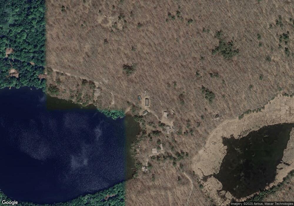
Map
Nearby Homes
- N12366 Chisum Trail
- W15560 Mckinley Ln
- 0 Kimball Ln Unit 50312276
- W15512 Kratz Ln
- N12203 Bear Cave Rd
- Lt7 Upper Roaring Rapids Ln
- Lt18 Upper Roaring Rapids Ln
- Lt14 Upper Roaring Rapids Ln
- Lt17 Upper Roaring Rapids Ln
- W14398 Camp 5 Rd
- 0 Straight Dr Unit 50309139
- 0 Straight Dr Unit 50309136
- ON Angel Crest Ln
- W14356 Killdeer Ln
- 0 Angel Crest Ln Unit 50315942
- W14354 Killdeer Ln
- 14463 Angel Crest Ln
- 14005 W Riverside Rd
- 3939 Teegan Ln
- W14145 County Road C
- W16424 Deer Trail Ln
- 1466 Kings Lake Dr
- W16420 Deer Trail Ln
- 1458 Kings Lake Dr
- 1458 Kings Lake Dr
- 1446 Kings Lake Dr
- 1446 Kings Lake Dr
- 1434 Kings Lake Dr
- 1420 Kings Lake Dr
- 1406 Kings Lake Dr
- 1394 Kings Lake Dr
- 1380 Kings Lake Dr
- 1324 Kings Lake Dr
- 258 County Road C
- 1328 Kings Lake Dr
- 1334 Kings Lake Dr
- 260 Hwy C
- 260 County Road C
- W16220 County Road C
- W16250 Hemlock Shores Ct