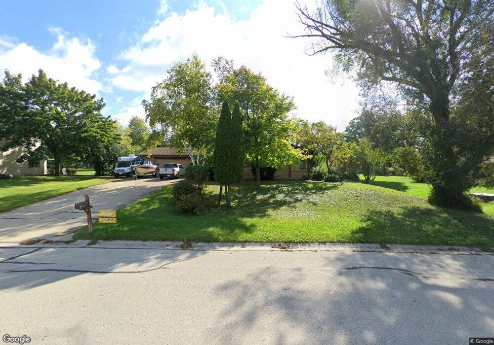
W164N7918 Tamarack Trail Menomonee Falls, WI 53051
Estimated Value: $446,000 - $548,000
3
Beds
2
Baths
2,275
Sq Ft
$221/Sq Ft
Est. Value
About This Home
This home is located at W164N7918 Tamarack Trail, Menomonee Falls, WI 53051 and is currently estimated at $502,793, approximately $221 per square foot. W164N7918 Tamarack Trail is a home located in Waukesha County with nearby schools including Valley View Elementary School, North Middle School, and Menomonee Falls High School.
Ownership History
Date
Name
Owned For
Owner Type
Purchase Details
Closed on
Feb 19, 2018
Sold by
Binder Richard R
Bought by
Binder Marla C and Binder Karen A
Current Estimated Value
Purchase Details
Closed on
Nov 7, 2003
Sold by
Binder Barbara C W
Bought by
Binder Richard R W
Home Financials for this Owner
Home Financials are based on the most recent Mortgage that was taken out on this home.
Original Mortgage
$165,600
Interest Rate
6.01%
Mortgage Type
Purchase Money Mortgage
Create a Home Valuation Report for This Property
The Home Valuation Report is an in-depth analysis detailing your home's value as well as a comparison with similar homes in the area
Home Values in the Area
Average Home Value in this Area
Purchase History
| Date | Buyer | Sale Price | Title Company |
|---|---|---|---|
| Binder Richard R W | -- | -- |
Source: Public Records
Mortgage History
| Date | Status | Borrower | Loan Amount |
|---|---|---|---|
| Closed | Binder Richard R W | $165,600 |
Source: Public Records
Tax History Compared to Growth
Tax History
| Year | Tax Paid | Tax Assessment Tax Assessment Total Assessment is a certain percentage of the fair market value that is determined by local assessors to be the total taxable value of land and additions on the property. | Land | Improvement |
|---|---|---|---|---|
| 2024 | $5,964 | $464,600 | $153,300 | $311,300 |
| 2023 | $5,725 | $464,600 | $153,300 | $311,300 |
| 2022 | $5,133 | $274,000 | $105,500 | $168,500 |
| 2021 | $4,860 | $274,000 | $105,500 | $168,500 |
| 2020 | $5,047 | $274,000 | $105,500 | $168,500 |
| 2019 | $5,014 | $274,000 | $105,500 | $168,500 |
| 2018 | $5,184 | $274,000 | $105,500 | $168,500 |
| 2017 | $5,257 | $274,000 | $105,500 | $168,500 |
| 2016 | $5,382 | $274,000 | $105,500 | $168,500 |
| 2015 | $5,528 | $274,000 | $105,500 | $168,500 |
| 2014 | $5,007 | $274,000 | $105,500 | $168,500 |
| 2013 | $5,007 | $274,000 | $105,500 | $168,500 |
Source: Public Records
Map
Nearby Homes
- W162N8224 Tamarack Ct
- N77W15736 Crossway Dr
- N84W16033 Menomonee Ave Unit 200
- N84W15979 Menomonee Ave Unit 103
- W154N7844 Rosewood Dr
- W174N8127 Shady Ln
- W154N8167 Valley View Dr
- N80W17533 Robin Cir Unit 1
- W155N7481 Pebble Ct
- N76W15355 Countryside Dr
- N84W15750 Ridge Rd Unit 204
- N84W15750 Ridge Rd Unit 106
- W151N7507 Wood View Dr
- W151N7546 Wood View Dr
- N75W17767 Woody Ln
- Lt2 Good Hope Rd
- The Berkshire Plan at Edgewood Preserve
- The Isabella Plan at Edgewood Preserve
- The Clara Plan at Edgewood Preserve
- The Riley Plan at Edgewood Preserve
- W164N7934 Tamarack Trail
- W164N7898 Tamarack Trail
- N79W16421 Longwood St
- N78W16398 Carl Ross Dr
- N78W16352 Community Dr
- N79W16367 Longwood St
- W164N7860 Tamarack Trail
- N79W16331 Longwood St
- W164N7988 Tamarack Trail
- N78W16371 Carl Ross Dr
- N78W16343 Community Dr
- N79W16384 Longwood St
- N79W16298 Community Dr
- N79W16352 Longwood St
- W164N7836 Tamarack Trail
- N79W16297 Longwood St
- W164N7841 Tamarack Trail
- N79W16318 Longwood St
- N78W16327 Carl Ross Dr
- N79W16264 Community Dr