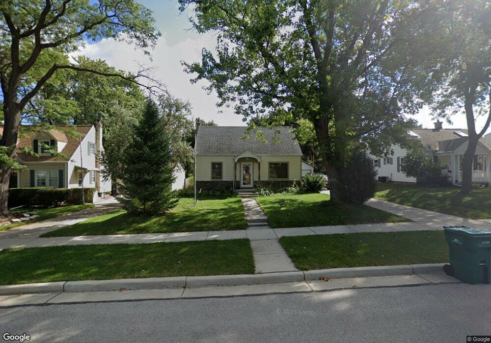
W164N8556 Hiawatha Ave Menomonee Falls, WI 53051
Estimated Value: $297,000 - $327,000
3
Beds
1
Bath
1,116
Sq Ft
$281/Sq Ft
Est. Value
About This Home
This home is located at W164N8556 Hiawatha Ave, Menomonee Falls, WI 53051 and is currently estimated at $313,848, approximately $281 per square foot. W164N8556 Hiawatha Ave is a home located in Waukesha County with nearby schools including Shady Lane Elementary School, North Middle School, and Menomonee Falls High School.
Ownership History
Date
Name
Owned For
Owner Type
Purchase Details
Closed on
Aug 29, 2003
Sold by
Westphal Jeffrey H and Westphal Carol A
Bought by
Bernd John J
Current Estimated Value
Home Financials for this Owner
Home Financials are based on the most recent Mortgage that was taken out on this home.
Original Mortgage
$86,000
Outstanding Balance
$40,443
Interest Rate
6.44%
Mortgage Type
Purchase Money Mortgage
Estimated Equity
$273,405
Purchase Details
Closed on
Jun 29, 1998
Sold by
Josten Paul T and Josten Carrie L
Bought by
Westphal Jeffrey H and Mollgaard Carol A
Home Financials for this Owner
Home Financials are based on the most recent Mortgage that was taken out on this home.
Original Mortgage
$112,882
Interest Rate
7.15%
Mortgage Type
FHA
Create a Home Valuation Report for This Property
The Home Valuation Report is an in-depth analysis detailing your home's value as well as a comparison with similar homes in the area
Home Values in the Area
Average Home Value in this Area
Purchase History
| Date | Buyer | Sale Price | Title Company |
|---|---|---|---|
| Bernd John J | $139,000 | -- | |
| Westphal Jeffrey H | $115,000 | United Title Services |
Source: Public Records
Mortgage History
| Date | Status | Borrower | Loan Amount |
|---|---|---|---|
| Open | Bernd John J | $86,000 | |
| Previous Owner | Westphal Jeffrey H | $112,882 |
Source: Public Records
Tax History Compared to Growth
Tax History
| Year | Tax Paid | Tax Assessment Tax Assessment Total Assessment is a certain percentage of the fair market value that is determined by local assessors to be the total taxable value of land and additions on the property. | Land | Improvement |
|---|---|---|---|---|
| 2024 | $2,824 | $239,000 | $90,400 | $148,600 |
| 2023 | $3,007 | $239,000 | $90,400 | $148,600 |
| 2022 | $2,474 | $156,900 | $62,500 | $94,400 |
| 2021 | $2,364 | $156,900 | $62,500 | $94,400 |
| 2020 | $2,506 | $156,900 | $62,500 | $94,400 |
| 2019 | $2,388 | $156,900 | $62,500 | $94,400 |
| 2018 | $2,489 | $156,900 | $62,500 | $94,400 |
| 2017 | $2,595 | $156,900 | $62,500 | $94,400 |
| 2016 | $2,636 | $156,900 | $62,500 | $94,400 |
| 2015 | $2,652 | $156,900 | $62,500 | $94,400 |
| 2014 | $2,834 | $156,900 | $62,500 | $94,400 |
| 2013 | $2,834 | $156,900 | $62,500 | $94,400 |
Source: Public Records
Map
Nearby Homes
- W163N8459 Arthur Ave
- N84W16544 Ann Ave
- N86W16387 Appleton Ave
- N86W16193 Arthur Ave
- N86W16564 Jacobson Dr
- N84W15750 Ridge Rd Unit 204
- N89W16328 Cleveland Ave
- Lt101 Main St
- Lt54 Main St
- Lt8 Main St
- Lt53 Main St
- Lt57 Main St
- Lt13 Main St
- Lt87 Main St
- Lt45 Main St
- Lt38 Main St
- Lt42 Main St
- Lt61 Main St
- Lt80 Main St
- Lt86 Main St
- W164N8566 Hiawatha Ave
- W164N8550 Hiawatha Ave
- W164N8576 Hiawatha Ave
- W164N8540 Hiawatha Ave
- W163N8553 Arthur Ave
- W163N8563 Arthur Ave
- W163N8543 Arthur Ave
- W164N8532 Hiawatha Ave
- W164N8577 Hiawatha Ave
- W164N8553 Hiawatha Ave
- W164N8586 Hiawatha Ave
- W164N8547 Hiawatha Ave
- W163N8533 Arthur Ave
- N85W16346 Arthur Ave
- W164N8537 Hiawatha Ave
- W164N8522 Hiawatha Ave
- W164N8596 Hiawatha Ave
- W164N8585 Hiawatha Ave
- W163N8523 Arthur Ave
- N85W16507 Dardis Place