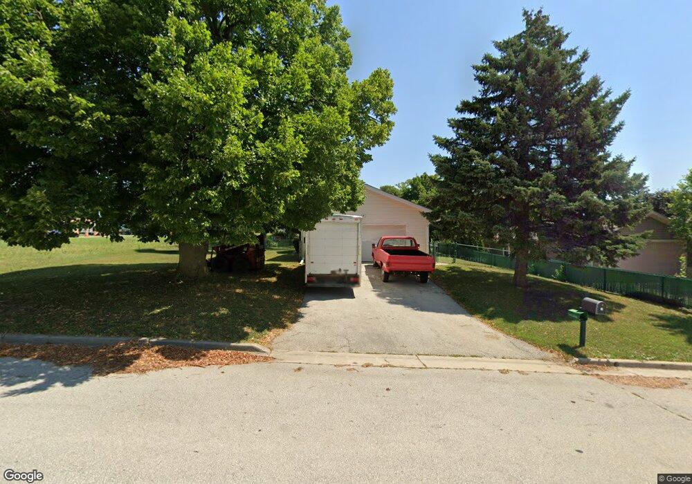
W167N9580 Cumberland Rd Menomonee Falls, WI 53051
Estimated Value: $374,000 - $407,000
4
Beds
2
Baths
1,803
Sq Ft
$218/Sq Ft
Est. Value
About This Home
This home is located at W167N9580 Cumberland Rd, Menomonee Falls, WI 53051 and is currently estimated at $392,583, approximately $217 per square foot. W167N9580 Cumberland Rd is a home located in Waukesha County with nearby schools including Shady Lane Elementary School, North Middle School, and Menomonee Falls High School.
Ownership History
Date
Name
Owned For
Owner Type
Purchase Details
Closed on
Oct 1, 2021
Sold by
Roberts Floyd L and Hayes Terry J
Bought by
Bakhtiari Vahid
Current Estimated Value
Home Financials for this Owner
Home Financials are based on the most recent Mortgage that was taken out on this home.
Original Mortgage
$132,000
Outstanding Balance
$120,372
Interest Rate
2.8%
Mortgage Type
New Conventional
Estimated Equity
$272,211
Purchase Details
Closed on
Jul 27, 2021
Sold by
Roberts Terry J and Roberts Floyd L
Bought by
Roberts Floyd L and Hayes Terry J
Create a Home Valuation Report for This Property
The Home Valuation Report is an in-depth analysis detailing your home's value as well as a comparison with similar homes in the area
Home Values in the Area
Average Home Value in this Area
Purchase History
| Date | Buyer | Sale Price | Title Company |
|---|---|---|---|
| Bakhtiari Vahid | $165,000 | None Available | |
| Roberts Floyd L | $10,000 | None Listed On Document |
Source: Public Records
Mortgage History
| Date | Status | Borrower | Loan Amount |
|---|---|---|---|
| Open | Bakhtiari Vahid | $132,000 |
Source: Public Records
Tax History Compared to Growth
Tax History
| Year | Tax Paid | Tax Assessment Tax Assessment Total Assessment is a certain percentage of the fair market value that is determined by local assessors to be the total taxable value of land and additions on the property. | Land | Improvement |
|---|---|---|---|---|
| 2024 | $3,553 | $316,900 | $94,900 | $222,000 |
| 2023 | $3,413 | $316,900 | $94,900 | $222,000 |
| 2022 | $3,343 | $209,500 | $65,300 | $144,200 |
| 2021 | $3,197 | $209,500 | $65,300 | $144,200 |
| 2020 | $3,372 | $209,500 | $65,300 | $144,200 |
| 2019 | $3,222 | $209,500 | $65,300 | $144,200 |
| 2018 | $3,375 | $209,500 | $65,300 | $144,200 |
| 2017 | $4,019 | $209,500 | $65,300 | $144,200 |
| 2016 | $3,561 | $209,500 | $65,300 | $144,200 |
| 2015 | $3,573 | $209,500 | $65,300 | $144,200 |
| 2014 | $3,810 | $209,500 | $65,300 | $144,200 |
| 2013 | $3,810 | $209,500 | $65,300 | $144,200 |
Source: Public Records
Map
Nearby Homes
- N94W16667 Cumberland Rd
- N97W16763 Chippewa Dr
- W163N9517 Cheyenne Dr
- W170N9945 Oriole Ct
- W166N9108 Grand Ave
- W174N9948 Meadow Creek Ct
- W168N9091 Garden Ave
- N94W17842 Appleton Ave
- W158N9751 Broadleaf Ln
- N90W16995 Appleton Ave
- The Neenah Plan at Heritage Park North
- The Madison Plan at Heritage Park North
- The Prescott Plan at Heritage Park North
- The Geneva Plan at Heritage Park North
- The Rosebud Plan at Heritage Park North
- The Isabella Plan at Heritage Park North
- The Celina Plan at Heritage Park North
- The Julia Plan at Heritage Park North
- The Charlotte Plan at Heritage Park North
- The Aubrey Plan at Heritage Park North
- W167N9566 Cumberland Rd
- N95W16692 Roanoke Ct
- W167N9554 Cumberland Rd
- W167N9581 Cumberland Rd
- N95W16695 Roanoke Ct
- W167N9567 Cumberland Rd
- N95W16678 Roanoke Ct
- W167N9555 Cumberland Rd
- W167N9542 Cumberland Rd
- N95W16687 Roanoke Ct
- W167N9543 Cumberland Rd
- W167N9524 Cumberland Rd
- N96W16751 County Line Rd
- N95W16669 Roanoke Ct
- N95W16732 Cumberland Rd
- W167N9531 Cumberland Rd
- N95W16648 Roanoke Ct
- N96W16651 Navajo Dr
- N96W16380 County Line Rd
- N96W16691 Navajo Dr