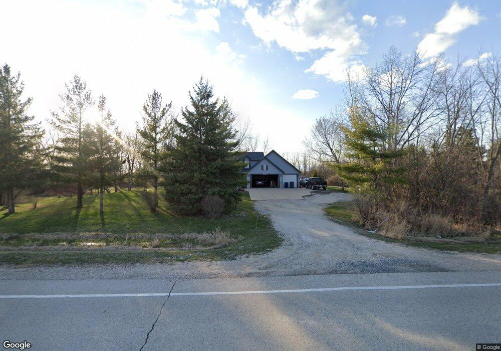
W167S11055 Loomis Dr Muskego, WI 53150
Estimated Value: $564,000 - $720,000
3
Beds
3
Baths
2,272
Sq Ft
$289/Sq Ft
Est. Value
About This Home
This home is located at W167S11055 Loomis Dr, Muskego, WI 53150 and is currently estimated at $655,684, approximately $288 per square foot. W167S11055 Loomis Dr is a home located in Waukesha County with nearby schools including Lakeview Elementary School, Lake Denoon Middle School, and Muskego High School.
Ownership History
Date
Name
Owned For
Owner Type
Purchase Details
Closed on
Sep 14, 2015
Sold by
Cichosz Jason G and Cichosz Lynda M
Bought by
Siddons Mark H and Siddons Diane K
Current Estimated Value
Home Financials for this Owner
Home Financials are based on the most recent Mortgage that was taken out on this home.
Original Mortgage
$356,385
Outstanding Balance
$280,108
Interest Rate
3.93%
Mortgage Type
VA
Estimated Equity
$375,576
Create a Home Valuation Report for This Property
The Home Valuation Report is an in-depth analysis detailing your home's value as well as a comparison with similar homes in the area
Home Values in the Area
Average Home Value in this Area
Purchase History
| Date | Buyer | Sale Price | Title Company |
|---|---|---|---|
| Siddons Mark H | $345,000 | None Available |
Source: Public Records
Mortgage History
| Date | Status | Borrower | Loan Amount |
|---|---|---|---|
| Open | Siddons Mark H | $356,385 |
Source: Public Records
Tax History Compared to Growth
Tax History
| Year | Tax Paid | Tax Assessment Tax Assessment Total Assessment is a certain percentage of the fair market value that is determined by local assessors to be the total taxable value of land and additions on the property. | Land | Improvement |
|---|---|---|---|---|
| 2024 | $5,037 | $436,600 | $114,600 | $322,000 |
| 2023 | $4,981 | $436,600 | $114,600 | $322,000 |
| 2022 | $4,861 | $436,600 | $114,600 | $322,000 |
| 2021 | $4,822 | $436,600 | $114,600 | $322,000 |
| 2020 | $5,431 | $386,400 | $99,600 | $286,800 |
| 2019 | $5,401 | $386,400 | $99,600 | $286,800 |
| 2018 | $5,458 | $386,400 | $99,600 | $286,800 |
| 2017 | $5,431 | $386,400 | $99,600 | $286,800 |
| 2016 | $5,506 | $347,800 | $95,200 | $252,600 |
| 2015 | $5,551 | $347,800 | $95,200 | $252,600 |
| 2014 | $6,044 | $347,800 | $95,200 | $252,600 |
| 2013 | $6,044 | $347,800 | $95,200 | $252,600 |
Source: Public Records
Map
Nearby Homes
- S106W17280 Muskego Dam Dr
- Lt1 Sadler Dr
- 25513 W Loomis Rd
- 25706 Portsmouth Rd
- 25911 Wayland Ct
- 26044 W Loomis Rd
- 26510 Susie Ct
- 26422 Oakridge Dr
- 24908 Breezy Point Rd
- 8422 Virginia Cir
- W189S9774 Parker Dr
- 8216 Anna Ave
- 7715 W Wind Lake Rd
- 8334 Virginia Cir
- 25621 S Wind Lake Rd
- W204S10346 Cindy Ct
- 7031 W Wind Lake Rd
- Lt1 Parker Dr
- Lt3 Parker Dr
- Lt1 Noraire Dr
- W166S11015 Loomis Dr
- W167S11083 Loomis Dr
- s101 w1451 Loomis Rd
- S108W17185 Loomis Rd
- Lt2 Loomis Rd
- Lt1 Loomis Rd
- Lt1 Loomis Rd Unit Lt1
- Lt2 Loomis Rd Unit Lt2
- W165S10941 Loomis Dr
- W165S10941 Loomis Dr
- 23821 8 Mile Rd
- W166S11010 Loomis Dr
- 8835 E Windlake Rd
- 23723 8 Mile Rd
- 8821 E Windlake Rd
- 23635 8 Mile Rd
- 24120 W Loomis Rd
- 8818 E Windlake Rd
- 8815 E Windlake Rd
- 8812 E Windlake Rd