Estimated Value: $309,000 - $529,000
Studio
--
Bath
--
Sq Ft
483,080
Sq Ft Lot
About This Home
This home is located at W1683 Starks Rd, Unity, WI 54488 and is currently estimated at $446,223. W1683 Starks Rd is a home located in Clark County with nearby schools including Colby Elementary School, Colby Middle School, and Colby High School.
Ownership History
Date
Name
Owned For
Owner Type
Purchase Details
Closed on
Mar 20, 2024
Sold by
Troyer Susan K
Bought by
Copp Zechariah K and Copp Maria M
Current Estimated Value
Create a Home Valuation Report for This Property
The Home Valuation Report is an in-depth analysis detailing your home's value as well as a comparison with similar homes in the area
Purchase History
| Date | Buyer | Sale Price | Title Company |
|---|---|---|---|
| Copp Zechariah K | $460,000 | None Listed On Document |
Source: Public Records
Tax History
| Year | Tax Paid | Tax Assessment Tax Assessment Total Assessment is a certain percentage of the fair market value that is determined by local assessors to be the total taxable value of land and additions on the property. | Land | Improvement |
|---|---|---|---|---|
| 2025 | $5,044 | $243,900 | $22,000 | $221,900 |
| 2024 | $4,476 | $237,000 | $22,000 | $215,000 |
| 2023 | $3,976 | $258,000 | $22,000 | $236,000 |
| 2022 | $3,878 | $258,000 | $22,000 | $236,000 |
| 2021 | $3,684 | $187,000 | $11,800 | $175,200 |
| 2020 | $3,855 | $187,000 | $11,800 | $175,200 |
| 2019 | $3,660 | $186,900 | $11,700 | $175,200 |
| 2018 | $3,628 | $186,900 | $11,700 | $175,200 |
| 2017 | $234 | $184,100 | $11,700 | $172,400 |
| 2016 | $3,408 | $184,000 | $11,600 | $172,400 |
| 2015 | -- | $184,000 | $11,600 | $172,400 |
| 2014 | -- | $183,900 | $11,500 | $172,400 |
| 2013 | -- | $183,900 | $11,500 | $172,400 |
| 2011 | -- | $175,300 | $11,700 | $163,600 |
Source: Public Records
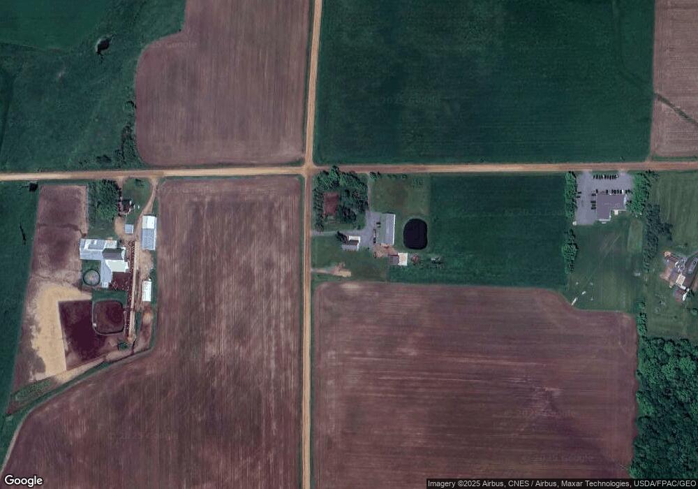
Map
Nearby Homes
- 310 W Clark St
- 151 S Madison St
- 411 S Main St
- 181 S Russell St
- N10409 Hiline Ave
- 101790 Buxton Rd
- 0000 S Division St
- 216 S 4th St
- 201 N 3rd St
- 609 N 2nd St
- 303 E Adams St
- +/-7.02 Acres Oak Rd
- 815 W Roberts St
- +/-2.07 Acres Elderberry Rd
- 208 W Clark St
- 305 W Roberts St
- 205 W Roberts St
- 0 201 W Dove St Unit 22505694
- W4768 Capital Rd
- Lot 4 and 5 Fairhaven Ave
- W1579 Starks Rd
- W1859 Starks Rd
- W1483 Starks Rd
- W1692 County Road K
- W1634 Kington Rd
- W1768 County Road K
- W1513 County Road K
- W1979 County Road K
- N11483 County Road Q
- N11941 County Road Q
- N11961 County Road Q
- N11398 County Road Q
- N11725 Division Ave
- W1646 Kington Rd
- N12035 Sandhill Ave
- N11581 Division Ave
- W1554 Kington Rd
Your Personal Tour Guide
Ask me questions while you tour the home.