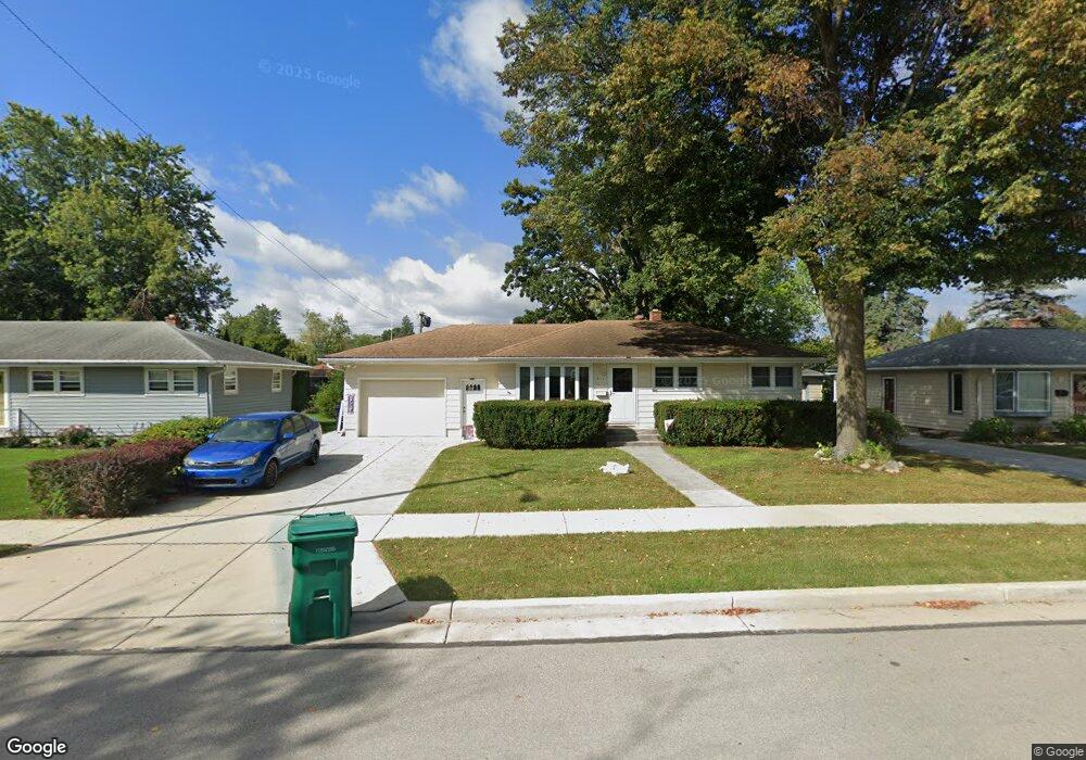
W169N8439 Sheridan Dr Menomonee Falls, WI 53051
Estimated Value: $291,000 - $347,000
3
Beds
1
Bath
898
Sq Ft
$355/Sq Ft
Est. Value
About This Home
This home is located at W169N8439 Sheridan Dr, Menomonee Falls, WI 53051 and is currently estimated at $318,494, approximately $354 per square foot. W169N8439 Sheridan Dr is a home located in Waukesha County with nearby schools including Shady Lane Elementary School, North Middle School, and Menomonee Falls High School.
Ownership History
Date
Name
Owned For
Owner Type
Purchase Details
Closed on
Dec 18, 2020
Sold by
Wolff Barbara
Bought by
Murray Ryan J
Current Estimated Value
Home Financials for this Owner
Home Financials are based on the most recent Mortgage that was taken out on this home.
Original Mortgage
$184,800
Outstanding Balance
$164,527
Interest Rate
2.7%
Mortgage Type
New Conventional
Estimated Equity
$153,967
Create a Home Valuation Report for This Property
The Home Valuation Report is an in-depth analysis detailing your home's value as well as a comparison with similar homes in the area
Home Values in the Area
Average Home Value in this Area
Purchase History
| Date | Buyer | Sale Price | Title Company |
|---|---|---|---|
| Murray Ryan J | $231,000 | None Available |
Source: Public Records
Mortgage History
| Date | Status | Borrower | Loan Amount |
|---|---|---|---|
| Open | Murray Ryan J | $184,800 |
Source: Public Records
Tax History Compared to Growth
Tax History
| Year | Tax Paid | Tax Assessment Tax Assessment Total Assessment is a certain percentage of the fair market value that is determined by local assessors to be the total taxable value of land and additions on the property. | Land | Improvement |
|---|---|---|---|---|
| 2024 | $2,918 | $261,800 | $89,400 | $172,400 |
| 2023 | $2,798 | $261,800 | $89,400 | $172,400 |
| 2022 | $2,811 | $177,300 | $61,700 | $115,600 |
| 2021 | $2,687 | $177,300 | $61,700 | $115,600 |
| 2020 | $2,743 | $171,300 | $61,700 | $109,600 |
| 2019 | $2,617 | $171,300 | $61,700 | $109,600 |
| 2018 | $2,731 | $171,300 | $61,700 | $109,600 |
| 2017 | $3,286 | $171,300 | $61,700 | $109,600 |
| 2016 | $2,889 | $171,300 | $61,700 | $109,600 |
| 2015 | $2,904 | $171,300 | $61,700 | $109,600 |
| 2014 | $3,101 | $171,300 | $61,700 | $109,600 |
| 2013 | $3,101 | $171,300 | $61,700 | $109,600 |
Source: Public Records
Map
Nearby Homes
- N84W16544 Ann Ave
- W163N8459 Arthur Ave
- N86W16564 Jacobson Dr
- N86W16387 Appleton Ave
- N86W16193 Arthur Ave
- W174N8125 Shady Ln Unit 1
- W177N8635 Lynwood Dr
- W175N8080 Robin Cir Unit 1
- N88W17690 Christman Rd
- N88W17868 Christman Rd
- W178N8846 Queensway St
- N90W16995 Appleton Ave
- N84W15750 Ridge Rd Unit 204
- N84W18113 Imperial Ct
- N89W16328 Cleveland Ave
- N87W18225 Queensway St
- W166N9108 Grand Ave
- Lt101 Main St
- Lt54 Main St
- Lt8 Main St
- W169N8429 Sheridan Dr
- W170N8438 Lloyd Ave
- W169N8459 Sheridan Dr
- W170N8448 N Lloyd
- W170N8448 Lloyd Ave
- W169N8419 Sheridan Dr
- W170N8428 Lloyd Ave
- W169N8430 Sheridan Dr
- W170N8458 Lloyd Ave
- W169N8440 Sheridan Dr
- W169N8420 Sheridan Dr
- W170N8418 Lloyd Ave
- W169N8450 Sheridan Dr
- W169N8469 Sheridan Dr
- N84W16948 Menomonee Ave
- W170N8468 Lloyd Ave
- W169N8460 Sheridan Dr
- W169N8410 Sheridan Dr
- W170N8408 Lloyd Ave
- W169N8479 Sheridan Dr