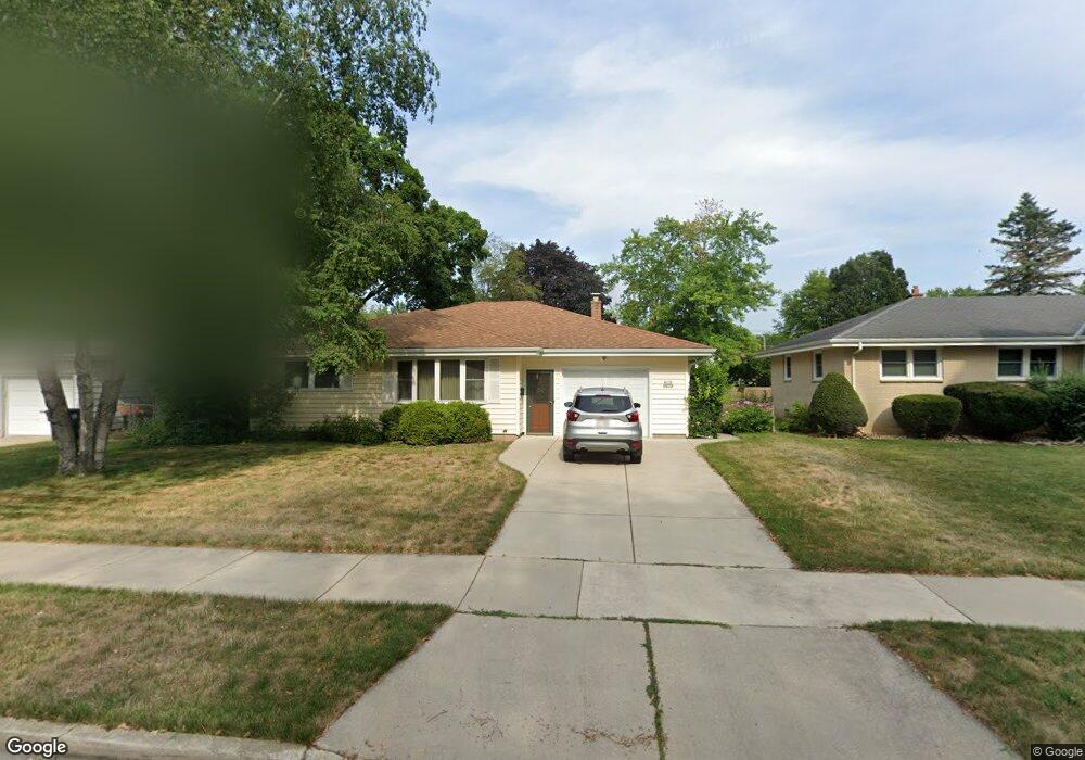
W170N8478 Lloyd Ave Menomonee Falls, WI 53051
Estimated Value: $342,000 - $363,000
3
Beds
1
Bath
1,481
Sq Ft
$235/Sq Ft
Est. Value
About This Home
This home is located at W170N8478 Lloyd Ave, Menomonee Falls, WI 53051 and is currently estimated at $348,755, approximately $235 per square foot. W170N8478 Lloyd Ave is a home located in Waukesha County with nearby schools including Shady Lane Elementary School, North Middle School, and Menomonee Falls High School.
Ownership History
Date
Name
Owned For
Owner Type
Purchase Details
Closed on
Jul 20, 2000
Sold by
Naylor Paul A
Bought by
Roegner Steven J
Current Estimated Value
Home Financials for this Owner
Home Financials are based on the most recent Mortgage that was taken out on this home.
Original Mortgage
$54,675
Outstanding Balance
$19,620
Interest Rate
8.27%
Estimated Equity
$329,135
Create a Home Valuation Report for This Property
The Home Valuation Report is an in-depth analysis detailing your home's value as well as a comparison with similar homes in the area
Home Values in the Area
Average Home Value in this Area
Purchase History
| Date | Buyer | Sale Price | Title Company |
|---|---|---|---|
| Roegner Steven J | $119,700 | -- |
Source: Public Records
Mortgage History
| Date | Status | Borrower | Loan Amount |
|---|---|---|---|
| Open | Roegner Steven J | $54,675 |
Source: Public Records
Tax History Compared to Growth
Tax History
| Year | Tax Paid | Tax Assessment Tax Assessment Total Assessment is a certain percentage of the fair market value that is determined by local assessors to be the total taxable value of land and additions on the property. | Land | Improvement |
|---|---|---|---|---|
| 2024 | $3,188 | $285,200 | $90,500 | $194,700 |
| 2023 | $3,059 | $285,200 | $90,500 | $194,700 |
| 2022 | $2,745 | $173,300 | $62,500 | $110,800 |
| 2021 | $2,906 | $173,300 | $62,500 | $110,800 |
| 2020 | $2,776 | $173,300 | $62,500 | $110,800 |
| 2019 | $2,648 | $173,300 | $62,500 | $110,800 |
| 2018 | $2,765 | $173,300 | $62,500 | $110,800 |
| 2017 | $2,878 | $173,300 | $62,500 | $110,800 |
| 2016 | $2,924 | $173,300 | $62,500 | $110,800 |
| 2015 | $2,939 | $173,300 | $62,500 | $110,800 |
| 2014 | $3,138 | $173,300 | $62,500 | $110,800 |
| 2013 | $3,138 | $173,300 | $62,500 | $110,800 |
Source: Public Records
Map
Nearby Homes
- N84W16544 Ann Ave
- N86W16564 Jacobson Dr
- W163N8459 Arthur Ave
- N86W16387 Appleton Ave
- W174N8125 Shady Ln Unit 1
- N86W16193 Arthur Ave
- W177N8635 Lynwood Dr
- W175N8080 Robin Cir Unit 1
- N88W17868 Christman Rd
- W178N8846 Queensway St
- N90W16995 Appleton Ave
- N84W18113 Imperial Ct
- N84W15750 Ridge Rd Unit 204
- N89W16328 Cleveland Ave
- N87W18225 Queensway St
- Lt101 Main St
- Lt54 Main St
- Lt8 Main St
- Lt53 Main St
- Lt57 Main St
- W170N8488 Lloyd Ave
- W170N8468 Lloyd Ave
- W169N8479 Sheridan Dr
- W170N8498 Lloyd Ave
- W169N8469 Sheridan Dr
- W170N8458 Lloyd Ave
- W169N8489 Sheridan Dr
- W169N8459 Sheridan Dr
- W169N8497 Sheridan Dr
- W170N8477 Lloyd Ave
- W170N8487 Lloyd Ave
- W170N8467 Lloyd Ave
- W170N8506 Lloyd Ave
- W170N8448 N Lloyd
- W170N8448 Lloyd Ave
- W170N8457 Lloyd Ave
- W170N8497 Lloyd Ave
- W169N8505 Sheridan Dr
- W170N8505 Lloyd Ave
- W170N8447 Lloyd Ave