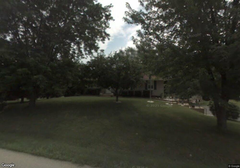
W170S6910 Southern Dr Muskego, WI 53150
Estimated Value: $416,000 - $462,000
3
Beds
2
Baths
1,344
Sq Ft
$326/Sq Ft
Est. Value
About This Home
This home is located at W170S6910 Southern Dr, Muskego, WI 53150 and is currently estimated at $438,374, approximately $326 per square foot. W170S6910 Southern Dr is a home located in Waukesha County with nearby schools including Muskego Lakes Middle School, Muskego High School, and St. Leonard School.
Ownership History
Date
Name
Owned For
Owner Type
Purchase Details
Closed on
Mar 21, 2017
Sold by
Quade Michael W
Bought by
Quade Mary J
Current Estimated Value
Purchase Details
Closed on
Feb 12, 1996
Sold by
Kujawa Dennis R and Kujawa Kimberlyn D
Bought by
Quade Michael W and Quade Mary Jean
Home Financials for this Owner
Home Financials are based on the most recent Mortgage that was taken out on this home.
Original Mortgage
$104,000
Interest Rate
7.07%
Create a Home Valuation Report for This Property
The Home Valuation Report is an in-depth analysis detailing your home's value as well as a comparison with similar homes in the area
Home Values in the Area
Average Home Value in this Area
Purchase History
| Date | Buyer | Sale Price | Title Company |
|---|---|---|---|
| Quade Mary J | $190,000 | -- | |
| Quade Michael W | $139,000 | -- |
Source: Public Records
Mortgage History
| Date | Status | Borrower | Loan Amount |
|---|---|---|---|
| Previous Owner | Quade Michael W | $104,000 |
Source: Public Records
Tax History Compared to Growth
Tax History
| Year | Tax Paid | Tax Assessment Tax Assessment Total Assessment is a certain percentage of the fair market value that is determined by local assessors to be the total taxable value of land and additions on the property. | Land | Improvement |
|---|---|---|---|---|
| 2024 | $3,259 | $289,000 | $65,600 | $223,400 |
| 2023 | $3,211 | $289,000 | $65,600 | $223,400 |
| 2022 | $3,140 | $289,000 | $65,600 | $223,400 |
| 2021 | $3,110 | $289,000 | $65,600 | $223,400 |
| 2020 | $3,214 | $234,200 | $56,700 | $177,500 |
| 2019 | $3,183 | $234,200 | $56,700 | $177,500 |
| 2018 | $3,222 | $234,200 | $56,700 | $177,500 |
| 2017 | $3,222 | $234,200 | $56,700 | $177,500 |
| 2016 | $2,998 | $194,800 | $54,400 | $140,400 |
| 2015 | $3,032 | $194,800 | $54,400 | $140,400 |
| 2014 | $3,300 | $194,800 | $54,400 | $140,400 |
| 2013 | $3,300 | $194,800 | $54,400 | $140,400 |
Source: Public Records
Map
Nearby Homes
- W162S7043 Olive Cir Unit 22
- Lt0 College Ave
- S66W16256 Chestnut Ridge Ct
- S73W16773 Briargate Ln
- W170S7361 Parkland Dr Unit 13
- S73W17268 Lake Dr
- W171S7452 Lannon Dr
- W163S7358 Bay Lane Dr
- Brookhaven Plan at Kirkland Crossing
- The Sycamore Plan at Kirkland Crossing
- The Maple Plan at Kirkland Crossing
- Essex Plan at Kirkland Crossing
- Harlow Plan at Kirkland Crossing
- The Lavender Plan at Kirkland Crossing
- The Savannah Plan at Kirkland Crossing
- Danbury Plan at Kirkland Crossing
- Hawthorne Plan at Kirkland Crossing
- The Clare Plan at Kirkland Crossing
- The Kendall Plan at Kirkland Crossing
- Waterford Plan at Kirkland Crossing
- W170S6920 Southern Dr
- S68W16989 Martin Dr
- W170S6932 Southern Dr
- S68W16879 Martin Dr
- W169S6943 Parkland Dr
- W170S6915 Southern Dr
- W170S6944 Southern Dr
- S69W16890 Parkland Dr
- W170S6933 Southern Dr
- W169S6951 Parkland Dr
- S69W16870 Parkland Dr
- W170S6956 Southern Dr
- S68W17031 Martin Dr
- W170S6951 Southern Dr
- W170S6966 Southern Dr
- S69W16887 Parkland Dr
- W168S6940 Parkland Dr
- S68W17073 Martin Dr
- W170S6820 Timber Ct
- W170S6978 Southern Dr