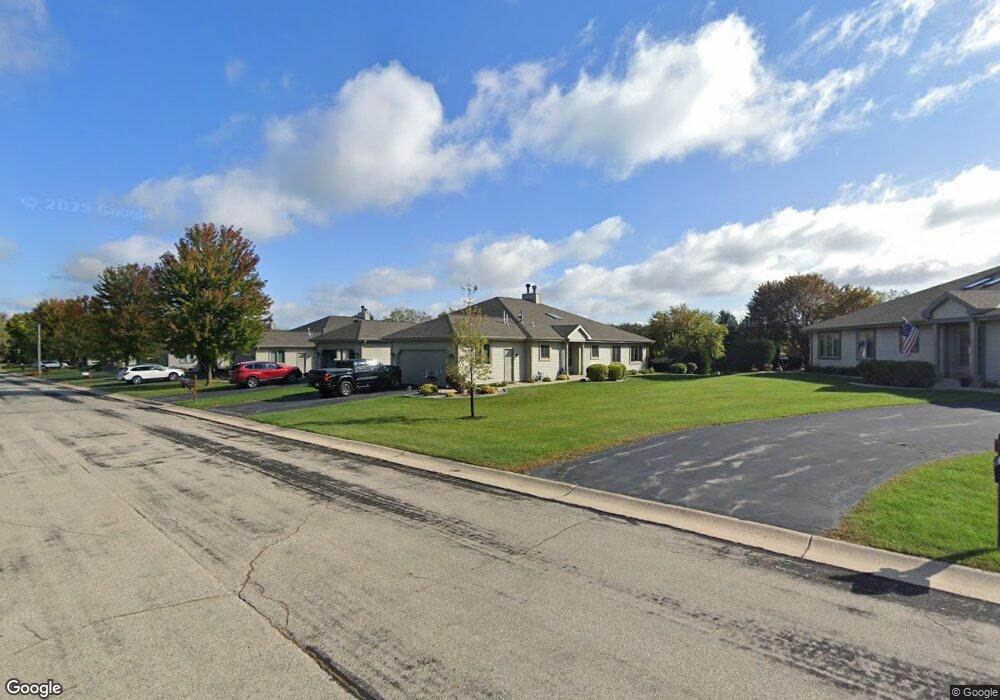
W175N8066 Robin Cir Unit 1 Menomonee Falls, WI 53051
Estimated Value: $402,000 - $426,000
2
Beds
2
Baths
1,666
Sq Ft
$248/Sq Ft
Est. Value
About This Home
This home is located at W175N8066 Robin Cir Unit 1, Menomonee Falls, WI 53051 and is currently estimated at $413,579, approximately $248 per square foot. W175N8066 Robin Cir Unit 1 is a home located in Waukesha County with nearby schools including Valley View Elementary School, North Middle School, and Menomonee Falls High School.
Ownership History
Date
Name
Owned For
Owner Type
Purchase Details
Closed on
Jul 21, 2022
Sold by
Hipenbecker Jill and Hipenbecker Timothy J
Bought by
Christensen Robert W and Keating-Christensen Collette J
Current Estimated Value
Purchase Details
Closed on
Feb 10, 2021
Sold by
Perthel Trust
Bought by
Hipenbecker Jill and Hipenbecker Timothy J
Home Financials for this Owner
Home Financials are based on the most recent Mortgage that was taken out on this home.
Original Mortgage
$262,400
Interest Rate
2.65%
Mortgage Type
New Conventional
Purchase Details
Closed on
Jul 15, 2005
Sold by
Buch Robert R and Buch Rosalie H
Bought by
Jodell Richard E and Jodell A Perthel Revocable T
Purchase Details
Closed on
Sep 5, 2001
Sold by
Steiner Maurice M and Steiner Susan P
Bought by
Buch Robert R and Buch Rosalie H
Create a Home Valuation Report for This Property
The Home Valuation Report is an in-depth analysis detailing your home's value as well as a comparison with similar homes in the area
Home Values in the Area
Average Home Value in this Area
Purchase History
| Date | Buyer | Sale Price | Title Company |
|---|---|---|---|
| Christensen Robert W | $375,000 | Wolter Ryan H | |
| Hipenbecker Jill | $323,000 | None Available | |
| Jodell Richard E | $270,000 | -- | |
| Buch Robert R | $218,000 | -- |
Source: Public Records
Mortgage History
| Date | Status | Borrower | Loan Amount |
|---|---|---|---|
| Previous Owner | Hipenbecker Jill | $262,400 |
Source: Public Records
Tax History Compared to Growth
Tax History
| Year | Tax Paid | Tax Assessment Tax Assessment Total Assessment is a certain percentage of the fair market value that is determined by local assessors to be the total taxable value of land and additions on the property. | Land | Improvement |
|---|---|---|---|---|
| 2024 | $4,001 | $337,700 | $43,500 | $294,200 |
| 2023 | $3,876 | $337,700 | $43,500 | $294,200 |
| 2022 | $3,557 | $209,400 | $30,000 | $179,400 |
| 2021 | $3,634 | $209,400 | $30,000 | $179,400 |
| 2020 | $3,370 | $209,400 | $30,000 | $179,400 |
| 2019 | $3,220 | $209,400 | $30,000 | $179,400 |
| 2018 | $3,373 | $209,400 | $30,000 | $179,400 |
| 2017 | $4,017 | $209,400 | $30,000 | $179,400 |
| 2016 | $3,559 | $209,400 | $30,000 | $179,400 |
| 2015 | $3,572 | $209,400 | $30,000 | $179,400 |
| 2014 | $3,808 | $209,400 | $30,000 | $179,400 |
| 2013 | $3,808 | $209,400 | $30,000 | $179,400 |
Source: Public Records
Map
Nearby Homes
- W175N8080 Robin Cir Unit 1
- W174N8125 Shady Ln Unit 1
- N78W17396 Wildwood Dr Unit 42
- N84W18113 Imperial Ct
- N75W17841 Woody Ln
- W177N8635 Lynwood Dr
- N74W17930 Mineral Dr
- N73W17723 Mineral Dr
- 19010 W Main St
- W163N8459 Arthur Ave
- N88W17868 Christman Rd
- N87W18225 Queensway St
- N53W19764 Kingair Dr
- N53W19710 Kingair Dr
- N53W19776 Kingair Dr
- N86W16564 Jacobson Dr
- W178N8846 Queensway St
- N86W16387 Appleton Ave
- Lt7 Morning Star Ct
- Lt2 Good Hope Rd
- W175N8054 Robin Cir Unit 1
- N80W17451 Cardinal Ct
- W175N8075 Robin Cir Unit 1
- W175N8096 Robin Cir Unit 1
- W175N8059 Robin Cir
- W175N8083 Robin Cir
- N80W17460 Robin Cir
- W175N8108 Robin Cir
- W175N8097 Robin Cir
- N80W17439 Cardinal Ct Unit 1
- N80W17456 Cardinal Ct
- W175N8047 Robin Cir
- N80W17434 Robin Cir
- N80W17535 Robin Cir Unit 2
- N80W17483 Robin Cir
- W175N8107 Robin Cir
- N80W17441 Cardinal Ct Unit 2
- N80W17435 Cardinal Ct
- N80W17458 Cardinal Ct
- N80W17442 Cardinal Ct