W1768 610th Ave Elmwood, WI 54740
Estimated Value: $259,415 - $323,000
4
Beds
1
Bath
--
Sq Ft
1.74
Acres
About This Home
This home is located at W1768 610th Ave, Elmwood, WI 54740 and is currently estimated at $295,354. W1768 610th Ave is a home located in Pierce County with nearby schools including Elmwood Elementary School, Elmwood Middle School, and Elmwood High School.
Ownership History
Date
Name
Owned For
Owner Type
Purchase Details
Closed on
Apr 19, 2016
Sold by
Holt Sky and Holt Cory
Bought by
Auld Mitchell Lee and Elsenpeter Haley Rene
Current Estimated Value
Home Financials for this Owner
Home Financials are based on the most recent Mortgage that was taken out on this home.
Original Mortgage
$120,000
Interest Rate
3.64%
Mortgage Type
New Conventional
Purchase Details
Closed on
Jan 31, 2013
Sold by
Fannie Mae
Bought by
Holt Sky and Holt Cory
Purchase Details
Closed on
Apr 26, 2012
Sold by
Westconsin Credit Union
Bought by
Federal National Mortgage Association
Purchase Details
Closed on
Mar 30, 2012
Sold by
Langer Robert B and Langer Virginia L
Bought by
Westconsin Credit Union
Create a Home Valuation Report for This Property
The Home Valuation Report is an in-depth analysis detailing your home's value as well as a comparison with similar homes in the area
Home Values in the Area
Average Home Value in this Area
Purchase History
| Date | Buyer | Sale Price | Title Company |
|---|---|---|---|
| Auld Mitchell Lee | $150,000 | Northwest Land Title Inc | |
| Holt Sky | $40,000 | Bay National Title Company | |
| Federal National Mortgage Association | -- | None Available | |
| Westconsin Credit Union | $131,035 | None Available |
Source: Public Records
Mortgage History
| Date | Status | Borrower | Loan Amount |
|---|---|---|---|
| Previous Owner | Auld Mitchell Lee | $120,000 |
Source: Public Records
Tax History Compared to Growth
Tax History
| Year | Tax Paid | Tax Assessment Tax Assessment Total Assessment is a certain percentage of the fair market value that is determined by local assessors to be the total taxable value of land and additions on the property. | Land | Improvement |
|---|---|---|---|---|
| 2024 | $4,397 | $178,400 | $19,000 | $159,400 |
| 2023 | $4,569 | $178,400 | $19,000 | $159,400 |
| 2022 | $3,833 | $176,700 | $19,000 | $157,700 |
| 2021 | $3,479 | $176,700 | $19,000 | $157,700 |
| 2020 | $2,986 | $121,100 | $11,500 | $109,600 |
| 2019 | $2,596 | $99,200 | $11,500 | $87,700 |
| 2018 | $2,716 | $99,200 | $11,500 | $87,700 |
| 2017 | $2,545 | $99,200 | $11,500 | $87,700 |
| 2016 | $2,197 | $99,200 | $11,500 | $87,700 |
| 2015 | $2,153 | $99,200 | $11,500 | $87,700 |
| 2014 | $2,182 | $99,200 | $11,500 | $87,700 |
| 2013 | $2,670 | $99,200 | $11,500 | $87,700 |
Source: Public Records
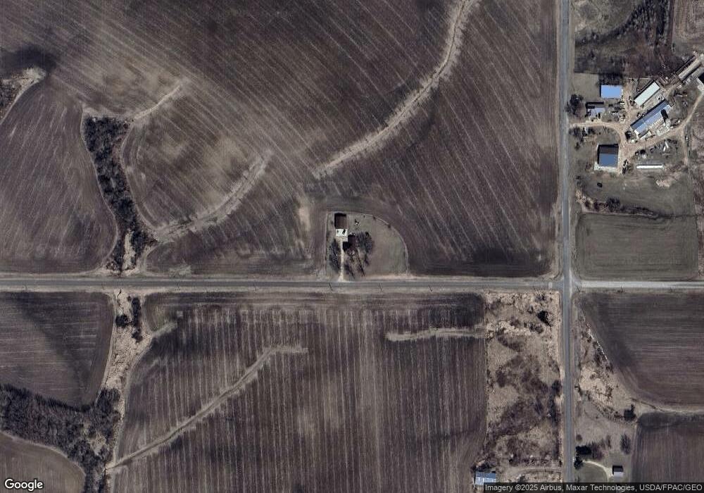
Map
Nearby Homes
- W1086 610th Ave
- N5502 90th St
- 5502 90th St
- 407 S Scott St
- 316 S Scott St
- 227 E Race Ave
- W3223 690th Ave
- W1297 450th Ave
- 109 Nelson Dr Unit 2
- 109 Nelson Dr
- Lot 10 776th Ave
- N8165 County Road Cc
- W995 (Lot 14) Red Fox Run
- S632 (Lot 4) Buckley Ct
- W340 State Road 29
- S612 Buckley Ct
- W218 Central St
- W1131 Whitetail Run
- W1162 Aspen Dr
- W828 Evergreen Ct