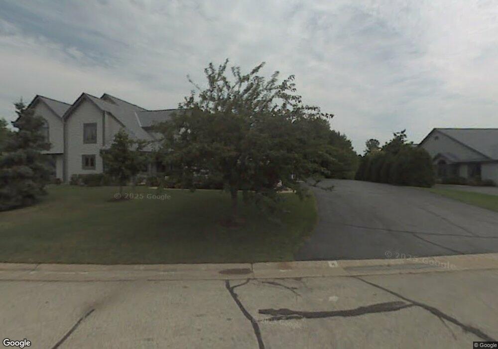
W177S7499 Harbor Cir Unit B6 Muskego, WI 53150
Estimated Value: $712,068 - $765,000
2
Beds
3
Baths
1,799
Sq Ft
$411/Sq Ft
Est. Value
About This Home
This home is located at W177S7499 Harbor Cir Unit B6, Muskego, WI 53150 and is currently estimated at $740,267, approximately $411 per square foot. W177S7499 Harbor Cir Unit B6 is a home located in Waukesha County with nearby schools including Muskego Lakes Middle School, Creative and Performing Arts, and Muskego High School.
Ownership History
Date
Name
Owned For
Owner Type
Purchase Details
Closed on
Sep 20, 2017
Sold by
Villareal Laura L
Bought by
Hauk Joseph and Hauk Shirley
Current Estimated Value
Purchase Details
Closed on
Oct 28, 2015
Sold by
Chan Stephen T
Bought by
Scott Sally
Purchase Details
Closed on
Feb 16, 2004
Sold by
Fox John L and Fox Jane M
Bought by
Chan Stephen T
Home Financials for this Owner
Home Financials are based on the most recent Mortgage that was taken out on this home.
Original Mortgage
$268,000
Interest Rate
5.96%
Mortgage Type
Purchase Money Mortgage
Create a Home Valuation Report for This Property
The Home Valuation Report is an in-depth analysis detailing your home's value as well as a comparison with similar homes in the area
Home Values in the Area
Average Home Value in this Area
Purchase History
| Date | Buyer | Sale Price | Title Company |
|---|---|---|---|
| Hauk Joseph | $410,000 | None Available | |
| Scott Sally | $400,000 | -- | |
| Chan Stephen T | $345,000 | -- |
Source: Public Records
Mortgage History
| Date | Status | Borrower | Loan Amount |
|---|---|---|---|
| Previous Owner | Chan Stephen T | $268,000 | |
| Closed | Chan Stephen T | $40,000 |
Source: Public Records
Tax History Compared to Growth
Tax History
| Year | Tax Paid | Tax Assessment Tax Assessment Total Assessment is a certain percentage of the fair market value that is determined by local assessors to be the total taxable value of land and additions on the property. | Land | Improvement |
|---|---|---|---|---|
| 2024 | $6,312 | $503,000 | $105,000 | $398,000 |
| 2023 | $6,252 | $503,000 | $105,000 | $398,000 |
| 2022 | $5,907 | $485,600 | $105,000 | $380,600 |
| 2021 | $5,865 | $485,600 | $105,000 | $380,600 |
| 2020 | $6,045 | $402,800 | $105,000 | $297,800 |
| 2019 | $5,640 | $402,800 | $105,000 | $297,800 |
| 2018 | $5,699 | $402,800 | $105,000 | $297,800 |
| 2017 | $5,670 | $402,800 | $105,000 | $297,800 |
| 2016 | $5,956 | $375,300 | $105,000 | $270,300 |
| 2015 | $6,004 | $375,300 | $105,000 | $270,300 |
| 2014 | $6,537 | $375,300 | $105,000 | $270,300 |
| 2013 | $6,537 | $375,300 | $105,000 | $270,300 |
Source: Public Records
Map
Nearby Homes
- Lt4 Lannon Dr
- W171S7452 Lannon Dr
- W169S7647 Gregory Dr Unit D
- S75W16788 Jacob Ct Unit 12
- S69W17741 Wildwood Dr
- S73W16773 Briargate Ln
- W188S7598 Oak Grove Dr
- W163S7358 Bay Lane Dr
- W179S8246 Pioneer Dr
- W162S7043 Olive Cir Unit 22
- N51W19119 Quietwood Dr
- Lt46 Kirkland Crossing Dr
- S65W18422 Ruby Dr
- Lt13 Ryker Ct
- W199S7525 Lakeview Dr
- Lt0 College Ave
- S77W19942 Holly Patch Ct
- Lt2 Racine Ave
- Lt1 College Ave
- S73W15032 Cherrywood Dr
- W177S7495 Harbor Cir Unit 6D
- W177S7497 Harbor Cir Unit 6C
- W177S7501 Harbor Cir Unit 6A
- S74W17698 Harbor Cir Unit 5A
- S74W17694 Harbor Cir Unit 5C
- S74W17696 Harbor Cir Unit B
- S74W17692 Harbor Cir Unit 5D
- S75W17649 Harbor Cir Unit 7C
- S75W17651 Harbor Cir Unit 7B
- S75W17647 Harbor Cir Unit 7D
- S75W17796 Harbor Cir Unit 13B
- S75W17794 Harbor Cir Unit 13C
- S75W17792 Harbor Cir
- S75W17798 Harbor Cir
- W176S7492 Harbor Cir Unit 4B
- W176S7494 Harbor Cir Unit 4C
- W176S7496 Harbor Cir
- S75W17722 Harbor Cir Unit 12C
- S75W17720 Harbor Cir Unit 12D
- S75W17724 Harbor Cir Unit 12B