W1803 Dees Rd Lyndon Station, WI 53944
Estimated Value: $256,139 - $406,000
--
Bed
--
Bath
--
Sq Ft
3.21
Acres
About This Home
This home is located at W1803 Dees Rd, Lyndon Station, WI 53944 and is currently estimated at $317,035. W1803 Dees Rd is a home with nearby schools including Wisconsin Dells High School.
Ownership History
Date
Name
Owned For
Owner Type
Purchase Details
Closed on
May 30, 2023
Sold by
Putman Scott L and Putman Melissa L.
Bought by
Putman Alexis L
Current Estimated Value
Purchase Details
Closed on
Apr 6, 2023
Sold by
Putman Scott and Putman Melissa
Bought by
Putman Scott and Putman Melissa
Purchase Details
Closed on
Nov 14, 2022
Sold by
Estate Of Patricia Washington
Bought by
Putman Scott and Putman Melissa
Purchase Details
Closed on
Nov 9, 2022
Sold by
Washington June
Bought by
Estate Of Patricia Washington
Create a Home Valuation Report for This Property
The Home Valuation Report is an in-depth analysis detailing your home's value as well as a comparison with similar homes in the area
Home Values in the Area
Average Home Value in this Area
Purchase History
| Date | Buyer | Sale Price | Title Company |
|---|---|---|---|
| Putman Alexis L | $96,150 | Bernetta Louis - Southwest Tit | |
| Putman Scott | $115,000 | Doma | |
| Putman Scott | $115,000 | Richards-Bria Law Office | |
| Estate Of Patricia Washington | $88,650 | Richards-Bria Law Office |
Source: Public Records
Tax History Compared to Growth
Tax History
| Year | Tax Paid | Tax Assessment Tax Assessment Total Assessment is a certain percentage of the fair market value that is determined by local assessors to be the total taxable value of land and additions on the property. | Land | Improvement |
|---|---|---|---|---|
| 2024 | $2,996 | $228,700 | $36,700 | $192,000 |
| 2023 | $3,140 | $153,800 | $21,500 | $132,300 |
| 2022 | $2,772 | $153,800 | $21,500 | $132,300 |
| 2021 | $2,677 | $153,800 | $21,500 | $132,300 |
| 2020 | $2,352 | $153,800 | $21,500 | $132,300 |
| 2019 | $2,301 | $153,800 | $21,500 | $132,300 |
| 2018 | $2,243 | $153,800 | $21,500 | $132,300 |
| 2017 | $3,394 | $142,100 | $21,500 | $120,600 |
| 2016 | $2,505 | $119,100 | $21,500 | $97,600 |
| 2015 | $2,505 | $119,100 | $21,500 | $97,600 |
| 2014 | $1,806 | $119,100 | $21,500 | $97,600 |
| 2013 | $1,721 | $119,100 | $21,500 | $97,600 |
Source: Public Records
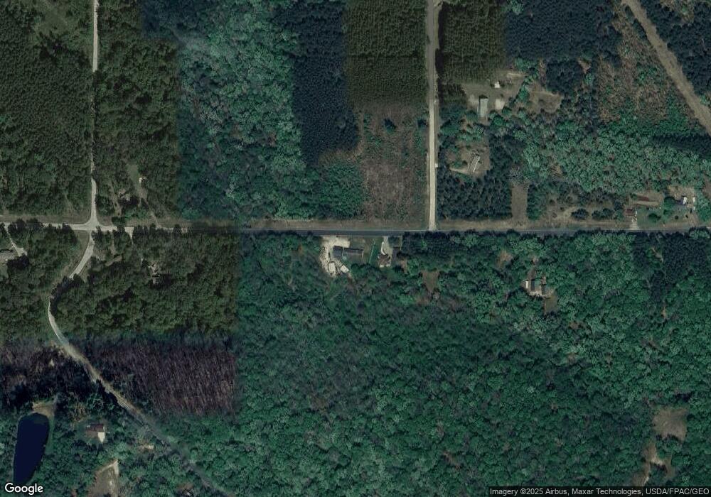
Map
Nearby Homes
- W1720 Southern Rd
- W2006 Lyndon Ln
- W1838 Juneau Woods Rd
- Lots 13 & 14 Bass Lake Ln
- 0 Koval Rd Unit 22560074
- 0 Koval Rd Unit 22500378
- 37.70 Acres 63rd St
- W2027 Amerst Ln
- 9.15 Acres Arbor Lake S
- W2313 Loescher Rd
- Lt2 Koval Rd
- W1700 65th St
- N1145 Colleen Ln
- 541 E Flint St
- L39 W Sunny Side Ln
- Lot 38 & 39 W Sunny Side Ln
- W2047 County Rd N
- W1976 County Rd N
- 3.65 AC W Limits Rd
- 316 N Washington St
- W1775 Dees Rd
- w 1775 Dees Rd
- 1775 Dees Rd
- N1143 Dees Rd
- N1120 Deer Run Ct
- N1138 Deer Run Ct
- W1749 Dees Rd
- 24ac Southern Rd
- W1889 Dees Rd
- W1886 Dees Rd
- N1092 Southern Rd
- N1144 Deer Run Ct
- 22ac Southern Rd
- N1180 Southern Rd
- Lot 2 Southern Rd
- N1027 Southern Rd
- N1170 Deer Run Ct
- N1075 Southern Rd
- W1712 Dees Rd
- N1191 Deer Run Ct