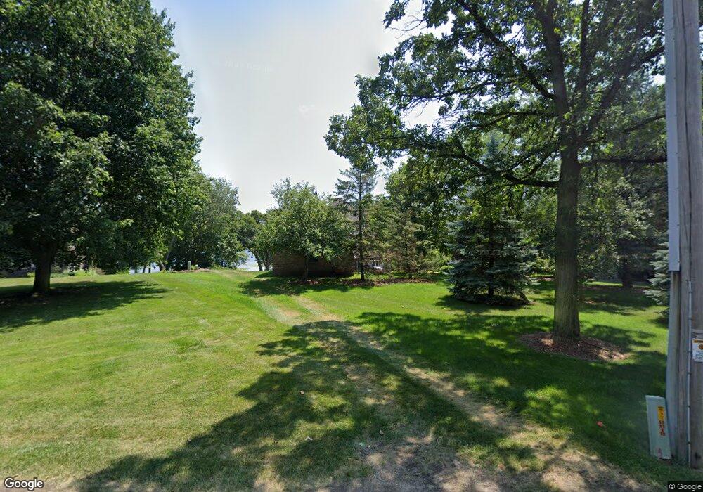
W1819 Lake Rd Mukwonago, WI 53149
Estimated Value: $2,251,000 - $3,159,190
--
Bed
--
Bath
--
Sq Ft
1.54
Acres
About This Home
This home is located at W1819 Lake Rd, Mukwonago, WI 53149 and is currently estimated at $2,658,397. W1819 Lake Rd is a home located in Walworth County with nearby schools including Little Prairie Primary School, Prairie View Elementary School, and East Troy Middle School.
Ownership History
Date
Name
Owned For
Owner Type
Purchase Details
Closed on
Sep 27, 2016
Sold by
Hansen Todd D and Hansen Susan L
Bought by
Kent A Moon And Kathryn A Moon Revocable
Current Estimated Value
Create a Home Valuation Report for This Property
The Home Valuation Report is an in-depth analysis detailing your home's value as well as a comparison with similar homes in the area
Home Values in the Area
Average Home Value in this Area
Purchase History
| Date | Buyer | Sale Price | Title Company |
|---|---|---|---|
| Kent A Moon And Kathryn A Moon Revocable | $141,000 | None Available |
Source: Public Records
Tax History Compared to Growth
Tax History
| Year | Tax Paid | Tax Assessment Tax Assessment Total Assessment is a certain percentage of the fair market value that is determined by local assessors to be the total taxable value of land and additions on the property. | Land | Improvement |
|---|---|---|---|---|
| 2024 | $25,217 | $2,237,800 | $1,211,000 | $1,026,800 |
| 2023 | $25,618 | $2,237,800 | $1,211,000 | $1,026,800 |
| 2022 | $22,943 | $1,406,100 | $778,700 | $627,400 |
| 2021 | $23,483 | $1,406,100 | $778,700 | $627,400 |
| 2020 | $23,102 | $1,406,100 | $778,700 | $627,400 |
| 2019 | $22,748 | $1,406,100 | $778,700 | $627,400 |
| 2018 | $22,794 | $1,406,100 | $778,700 | $627,400 |
| 2017 | $22,780 | $1,406,100 | $778,700 | $627,400 |
| 2016 | $23,565 | $1,398,300 | $778,700 | $619,600 |
| 2015 | $19,537 | $1,212,100 | $673,600 | $538,500 |
| 2014 | $19,546 | $1,212,100 | $673,600 | $538,500 |
| 2013 | $19,546 | $1,212,100 | $673,600 | $538,500 |
Source: Public Records
Map
Nearby Homes
- W1933 Itsa Little Rd
- W1969 Itsa Little Rd
- Lt2 Austin Rd
- N9198 E Shore Rd
- W1250 Beach Rd
- W2172 Country Club Ln
- W2247 Beulah Heights Rd
- W2060 Kings Ln
- W2186 Wilmers Grove Rd
- Lt3 New Deal Ave
- Lt10 Wilmers Grove Rd
- 2690 Mapleton Ave
- 2684 Mapleton Ave
- 2702 Mapleton Ave
- Lt54 Oakmont Dr
- 2725 Mapleton Ave
- 2729 Mapleton Ave
- Lt53 Mapleton Ave
- 2696 Mapleton Ave
- 2707 Mapleton Ave