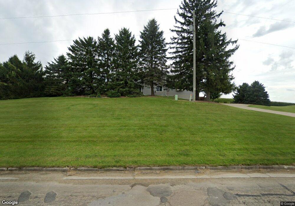
W1863 Illinois Rd Iron Ridge, WI 53035
Estimated Value: $329,599
--
Bed
--
Bath
--
Sq Ft
64.02
Acres
About This Home
This home is located at W1863 Illinois Rd, Iron Ridge, WI 53035 and is currently estimated at $329,599. W1863 Illinois Rd is a home located in Dodge County with nearby schools including Hartford High School and St. Matthew Lutheran School.
Ownership History
Date
Name
Owned For
Owner Type
Purchase Details
Closed on
May 4, 2022
Sold by
Christ Jeffrey L
Bought by
Jeffrey L Christ Living Trust
Current Estimated Value
Purchase Details
Closed on
Mar 14, 2014
Sold by
Christ Kathy J
Bought by
Christ Jeffrey L
Home Financials for this Owner
Home Financials are based on the most recent Mortgage that was taken out on this home.
Original Mortgage
$192,900
Interest Rate
3.37%
Mortgage Type
Adjustable Rate Mortgage/ARM
Purchase Details
Closed on
Apr 21, 2005
Sold by
Christ Jeffrey L and Christ Kathy J
Bought by
Baier Timothy P and Baier Amy N
Home Financials for this Owner
Home Financials are based on the most recent Mortgage that was taken out on this home.
Original Mortgage
$128,300
Interest Rate
6.06%
Mortgage Type
New Conventional
Create a Home Valuation Report for This Property
The Home Valuation Report is an in-depth analysis detailing your home's value as well as a comparison with similar homes in the area
Home Values in the Area
Average Home Value in this Area
Purchase History
| Date | Buyer | Sale Price | Title Company |
|---|---|---|---|
| Jeffrey L Christ Living Trust | -- | Schloemer Law Firm Sc | |
| Christ Jeffrey L | -- | None Available | |
| Baier Timothy P | $160,400 | -- |
Source: Public Records
Mortgage History
| Date | Status | Borrower | Loan Amount |
|---|---|---|---|
| Previous Owner | Christ Jeffrey L | $192,900 | |
| Previous Owner | Baier Timothy P | $128,300 |
Source: Public Records
Tax History Compared to Growth
Tax History
| Year | Tax Paid | Tax Assessment Tax Assessment Total Assessment is a certain percentage of the fair market value that is determined by local assessors to be the total taxable value of land and additions on the property. | Land | Improvement |
|---|---|---|---|---|
| 2024 | $1,008 | $63,200 | $63,200 | $0 |
| 2023 | $915 | $63,200 | $63,200 | $0 |
| 2022 | $936 | $62,700 | $62,700 | $0 |
| 2021 | $979 | $63,000 | $63,000 | $0 |
| 2020 | $990 | $63,300 | $63,300 | $0 |
| 2019 | $1,007 | $62,500 | $62,500 | $0 |
| 2018 | $989 | $62,500 | $62,500 | $0 |
| 2017 | $986 | $60,700 | $60,700 | $0 |
| 2016 | $955 | $60,700 | $60,700 | $0 |
| 2015 | $6,586 | $402,100 | $117,500 | $284,600 |
Source: Public Records
Map
Nearby Homes
- 234 Watertower Cir
- 202 East Ave
- N5413 County Rd S
- 0 Burkwald Ave
- Lt0 E Neda Rd
- Lt1 Lilly Rd
- Lt0 Lilly Rd
- Lt2 Lilly Rd
- Lt2 Rolling Hills Dr
- W990 Kelly Dr
- N7575 Doyle Rd
- N6436 County Road Tw
- N4973 Lake Dr
- 6372 Yellowstone Trail N
- N4569 Hazelwood Rd
- N4510 & N4504 Anthony Island
- N4510 Anthony Island -
- 222 E Lehman St
- Montrose Manor Plan at Grandview Heights
- Isabelle II Plan at Grandview Heights
- W1863 Illinois Rd
- W1845 Illinois Rd
- W1775 Illinois Rd
- W2003 Illinois Rd
- W2017 Illinois Rd
- W2010 Illinois Rd
- W2024 Illinois Rd
- W2068 Illinois Rd
- N5764 County Road Ay
- 5689 Astor Rd
- W1602 Illinois Rd
- W1745 Illinois Rd
- N5493 Astor Rd
- N5474 Astor Rd
- W2132 County Road Ay
- W1572 Illinois Rd
- N5494 Astor Rd
- N5451 Astor Rd
- W1924 County Rd S
- W2212 County Road Ay