Estimated Value: $523,000 - $770,677
--
Bed
--
Bath
--
Sq Ft
29.81
Acres
About This Home
This home is located at W18710 Thompson Rd, Blair, WI 54616 and is currently estimated at $647,226. W18710 Thompson Rd is a home with nearby schools including Blair-Taylor Elementary School and Blair-Taylor Middle/High School.
Ownership History
Date
Name
Owned For
Owner Type
Purchase Details
Closed on
Nov 7, 2018
Sold by
Winfrey Michael R
Bought by
Winfrey Michael R
Current Estimated Value
Purchase Details
Closed on
Sep 24, 2018
Sold by
Winfrey Michael R
Bought by
Winfrey Michael R and Huber Laura
Purchase Details
Closed on
Dec 30, 2016
Sold by
Winfrey Michael R
Bought by
Husmoen Family Farms Llc
Purchase Details
Closed on
Mar 11, 2010
Sold by
Taylor Bernadette C and Taylor Winfrey Bernadette C
Bought by
Winfrey Michael R and Taylor Winfrey Michael R
Create a Home Valuation Report for This Property
The Home Valuation Report is an in-depth analysis detailing your home's value as well as a comparison with similar homes in the area
Home Values in the Area
Average Home Value in this Area
Purchase History
| Date | Buyer | Sale Price | Title Company |
|---|---|---|---|
| Winfrey Michael R | -- | -- | |
| Winfrey Michael R | -- | -- | |
| Husmoen Family Farms Llc | $2,200 | None Available | |
| Winfrey Michael R | -- | None Available |
Source: Public Records
Tax History Compared to Growth
Tax History
| Year | Tax Paid | Tax Assessment Tax Assessment Total Assessment is a certain percentage of the fair market value that is determined by local assessors to be the total taxable value of land and additions on the property. | Land | Improvement |
|---|---|---|---|---|
| 2024 | $9,247 | $464,200 | $24,500 | $439,700 |
| 2023 | $9,693 | $464,200 | $24,500 | $439,700 |
| 2022 | $9,594 | $471,100 | $31,400 | $439,700 |
| 2021 | $7,782 | $431,300 | $31,300 | $400,000 |
| 2020 | $8,318 | $71,300 | $31,300 | $40,000 |
| 2019 | $2,597 | $145,900 | $31,300 | $114,600 |
| 2018 | $1,211 | $58,600 | $22,800 | $35,800 |
| 2017 | $1,086 | $52,700 | $22,900 | $29,800 |
| 2016 | $1,014 | $52,800 | $23,000 | $29,800 |
| 2015 | $1,032 | $52,800 | $23,000 | $29,800 |
| 2014 | $1,055 | $52,800 | $23,000 | $29,800 |
| 2011 | $325 | $15,700 | $15,700 | $0 |
Source: Public Records
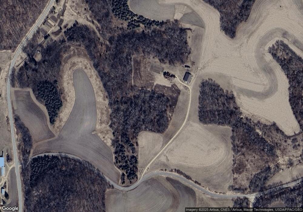
Map
Nearby Homes
- W19292 Wisconsin 95
- 0 Helstad Coulee Rd
- N30732 Square Bluff Rd
- N32838 Briten Rd
- 0 Bigelow Ln
- N23764 Wayside Ln
- 517 W Broadway St
- 328 S Urberg Ave
- 102 S Peterson Ave
- 127 E Broadway St
- 313 S Park Rd
- 612 E Broadway St
- N28881 County Rd S
- N34701 County Rd S
- N27146 County Rd S
- N27046 County Rd S
- 22732 U S 53
- 22766 S Main St
- 0 Holcomb Coulee Rd
- W18212 Thompson Rd
- N27957 Fraction Rd
- W18171 Thompson Rd
- W26202 State Road 95
- W17935 Thompson Rd
- N27986 County Road D
- N28603 Nyen Rd
- N28433 Nyen Rd
- W17841 Thompson Rd
- N27699 Quall Ln
- W19292 State Road 95
- N28439 Nyen Rd
- N28363 Nyen Rd
- W18262 State Road 95
- XXX Nyen Rd
- N28672 Nyen Rd
- W18071 State Road 95