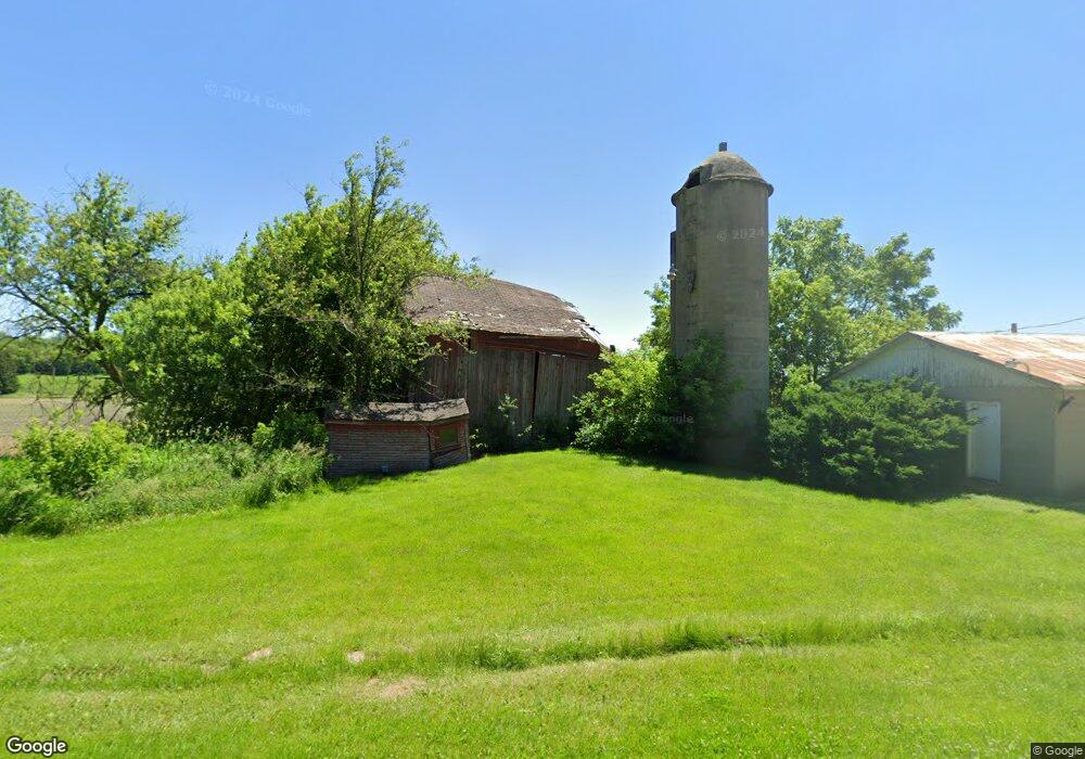
W1878 Elder Dr Sullivan, WI 53178
Estimated Value: $331,822 - $559,000
Studio
--
Bath
--
Sq Ft
20
Acres
About This Home
This home is located at W1878 Elder Dr, Sullivan, WI 53178 and is currently estimated at $479,456. W1878 Elder Dr is a home located in Jefferson County with nearby schools including Watertown High School.
Ownership History
Date
Name
Owned For
Owner Type
Purchase Details
Closed on
Dec 22, 2023
Sold by
Helen Stollfuss Revocable Trust
Bought by
Downing Ronald Trip and Downing Adelaide Marie
Current Estimated Value
Home Financials for this Owner
Home Financials are based on the most recent Mortgage that was taken out on this home.
Original Mortgage
$350,000
Outstanding Balance
$342,516
Interest Rate
7.15%
Mortgage Type
Credit Line Revolving
Estimated Equity
$136,940
Purchase Details
Closed on
May 20, 2018
Sold by
Jacobson Matthew A and Jacobson Heidi E
Bought by
Jacobson Trust
Purchase Details
Closed on
Jan 12, 2009
Sold by
Plamann Heldi E and Jacobson Heldi E
Bought by
Jacobson Heldi E
Purchase Details
Closed on
Jan 23, 2006
Sold by
Stollfuss Helen
Bought by
Plamann Heidi E
Create a Home Valuation Report for This Property
The Home Valuation Report is an in-depth analysis detailing your home's value as well as a comparison with similar homes in the area
Home Values in the Area
Average Home Value in this Area
Purchase History
| Date | Buyer | Sale Price | Title Company |
|---|---|---|---|
| Downing Ronald Trip | $500,000 | None Listed On Document | |
| Jacobson Trust | -- | -- | |
| Jacobson Heldi E | -- | None Available | |
| Plamann Heidi E | -- | None Available | |
| Stollfuss Helen | -- | None Available |
Source: Public Records
Mortgage History
| Date | Status | Borrower | Loan Amount |
|---|---|---|---|
| Open | Downing Ronald Trip | $350,000 |
Source: Public Records
Tax History
| Year | Tax Paid | Tax Assessment Tax Assessment Total Assessment is a certain percentage of the fair market value that is determined by local assessors to be the total taxable value of land and additions on the property. | Land | Improvement |
|---|---|---|---|---|
| 2024 | $2,135 | $218,800 | $89,900 | $128,900 |
| 2023 | $2,172 | $218,200 | $89,300 | $128,900 |
| 2022 | $2,141 | $126,700 | $51,900 | $74,800 |
| 2021 | $2,260 | $127,000 | $52,200 | $74,800 |
| 2020 | $2,148 | $127,000 | $52,200 | $74,800 |
| 2019 | $2,033 | $126,900 | $52,100 | $74,800 |
| 2018 | $1,951 | $126,900 | $52,100 | $74,800 |
| 2017 | $1,903 | $127,100 | $52,300 | $74,800 |
| 2016 | $1,938 | $127,300 | $52,500 | $74,800 |
| 2015 | $1,872 | $127,300 | $52,500 | $74,800 |
| 2014 | $1,948 | $127,300 | $52,500 | $74,800 |
| 2013 | $2,035 | $127,300 | $52,500 | $74,800 |
Source: Public Records
Map
Nearby Homes
- 631 Bakertown Dr
- W2723 U S 18
- N3987 Vista Rd
- N3913 County Road D
- N6291 Sunset Rd
- W1048 Concord Center Dr
- N6236 Willow Glen Rd
- 1721 Arthur's Pass
- Lt2 County Road z
- Lt1 County Road z
- 1388 Mamerow Ln W
- Lt2 Schmidt Rd
- Lt129 Twin Creeks Dr
- N2650 Hardscrabble Rd
- 584 Twin Creeks Dr
- 596 Twin Creeks Dr
- 590 Twin Creeks Dr
- 143 Twin Creeks Court Dr
- Lot 1 Christberg Rd
- 137 Twin Creeks Ct Dr
- W1892 Elder Dr
- W1945 Elder Dr
- N5010 Pioneer Dr
- N5018 Pioneer Dr
- N4954 Pioneer Dr
- W1940 Elder Dr
- N5093 Pioneer Dr
- N4948 Pioneer Dr
- N4872 Pioneer Dr
- N4889 Pioneer Dr
- 57.12 Acres Pioneer Dr
- N4858 Pioneer Dr
- W1703 Rocky Ln
- W1665 Rocky Ln
- W1654 Rocky Ln
- W1881 Slater Rd
- W1618 Rocky Ln
- N4896 County Road P
- N4882 County Road P
- N5354 Pioneer Dr
Your Personal Tour Guide
Ask me questions while you tour the home.