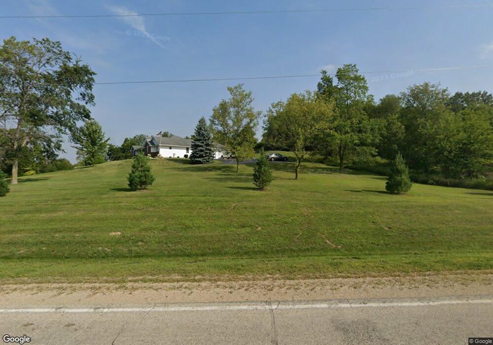
W1944 County Road C Brooklyn, WI 53521
Estimated Value: $399,000 - $657,000
--
Bed
--
Bath
--
Sq Ft
5.08
Acres
About This Home
This home is located at W1944 County Road C, Brooklyn, WI 53521 and is currently estimated at $538,989. W1944 County Road C is a home with nearby schools including Belleville Elementary School, Belleville Middle School, and Belleville High School.
Ownership History
Date
Name
Owned For
Owner Type
Purchase Details
Closed on
Aug 2, 2017
Sold by
Konopacki Steven W
Bought by
Konopacki Steven W and Grefsheim Barbara J
Current Estimated Value
Home Financials for this Owner
Home Financials are based on the most recent Mortgage that was taken out on this home.
Original Mortgage
$70,000
Outstanding Balance
$58,315
Interest Rate
3.9%
Mortgage Type
Construction
Estimated Equity
$480,674
Purchase Details
Closed on
Sep 30, 2016
Sold by
Pajak Rose M
Bought by
Konopacki Steven W
Create a Home Valuation Report for This Property
The Home Valuation Report is an in-depth analysis detailing your home's value as well as a comparison with similar homes in the area
Home Values in the Area
Average Home Value in this Area
Purchase History
| Date | Buyer | Sale Price | Title Company |
|---|---|---|---|
| Konopacki Steven W | $2,600 | None Available | |
| Konopacki Steven W | $35,000 | -- |
Source: Public Records
Mortgage History
| Date | Status | Borrower | Loan Amount |
|---|---|---|---|
| Open | Konopacki Steven W | $70,000 |
Source: Public Records
Tax History Compared to Growth
Tax History
| Year | Tax Paid | Tax Assessment Tax Assessment Total Assessment is a certain percentage of the fair market value that is determined by local assessors to be the total taxable value of land and additions on the property. | Land | Improvement |
|---|---|---|---|---|
| 2024 | $6,758 | $494,200 | $126,200 | $368,000 |
| 2023 | $5,802 | $276,200 | $60,700 | $215,500 |
| 2022 | $6,122 | $276,300 | $60,800 | $215,500 |
| 2021 | $6,228 | $276,300 | $60,800 | $215,500 |
| 2020 | $6,098 | $276,300 | $60,800 | $215,500 |
| 2019 | $5,490 | $263,400 | $60,800 | $202,600 |
| 2018 | $3,994 | $211,300 | $94,300 | $117,000 |
| 2017 | $2,057 | $104,300 | $94,300 | $10,000 |
| 2016 | $51 | $2,600 | $2,600 | $0 |
| 2014 | $49 | $2,600 | $2,600 | $0 |
Source: Public Records
Map
Nearby Homes
- L3 & L4 Sandy Hook Rd
- N7087 Wild Iris Way
- 130 Acres County Highway C
- Lot 1 County Road X
- N8383 Smith Rd
- W2718 Fonda Ln
- Lt1 King Rd
- Lot 1 King Rd
- The Linden Plan at Shamrock Estates
- The Reagan Plan at Shamrock Estates
- The Taylor Plan at Shamrock Estates
- The Aspen Plan at Shamrock Estates
- The Kennedy Plan at Shamrock Estates
- The Juniper Plan at Shamrock Estates
- Lot 81 Ryan Rd
- The Madison Plan at Shamrock Estates
- The Willow Plan at Shamrock Estates
- The Cypress Plan at Shamrock Estates
- The Grant Plan at Shamrock Estates
- W1970 County Road C
- W1940 County Road C
- W1947 County Road C
- N7720 Sandy Hook Rd
- N7749 Sandy Hook Rd
- N7749 Sandy Hook Rd
- N7870 Sandy Hook Rd
- 0 Sandy Hook Rd
- 66A Sandy Hook Rd
- N7701 Sandy Hook Rd
- N7685 County Road C
- N7919 Sandy Hook Rd
- N7923 Sandy Hook Rd
- N8010 Sandy Hook Rd
- N7981 Sandy Hook Rd
- N8102 Sandy Hook Rd
- 00 00
- N8106 Sandy Hook Rd
- N8105 Sandy Hook Rd
- N8009 Sandy Hook Rd