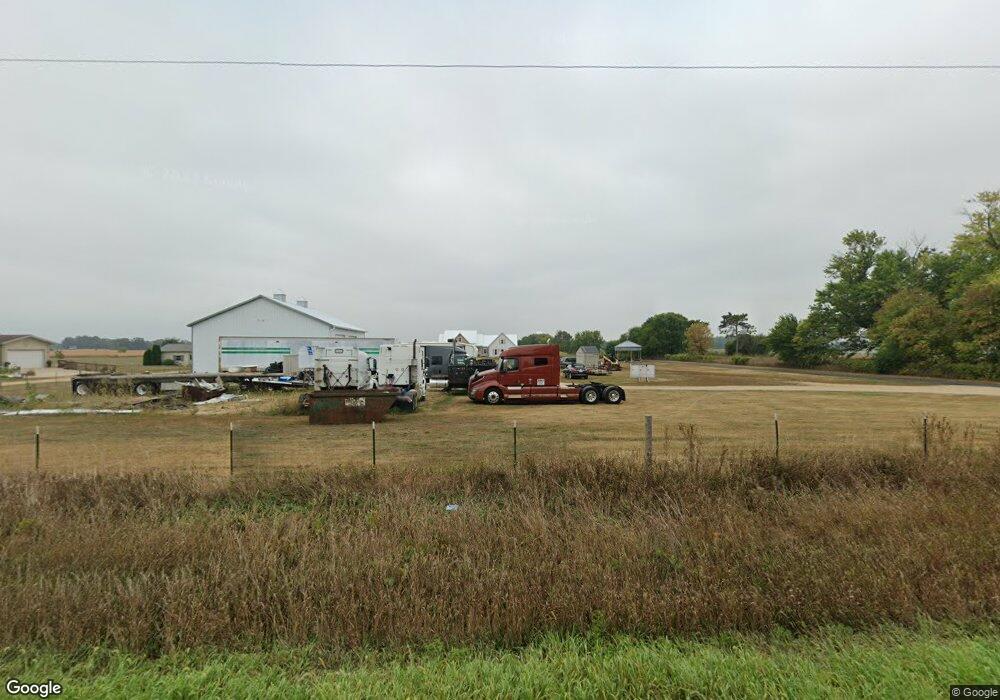
W197 Saint John Rd Brodhead, WI 53520
Estimated Value: $418,000 - $651,773
--
Bed
--
Bath
--
Sq Ft
5.23
Acres
About This Home
This home is located at W197 Saint John Rd, Brodhead, WI 53520 and is currently estimated at $534,887. W197 Saint John Rd is a home with nearby schools including Ronald R. Albrecht Elementary School, Brodhead Middle School, and Brodhead High School.
Ownership History
Date
Name
Owned For
Owner Type
Purchase Details
Closed on
May 31, 2006
Sold by
Gratschmann Robert and Gratschmann Yvonne
Bought by
Payne Jon E and Neild Debra A
Current Estimated Value
Purchase Details
Closed on
Jul 27, 2005
Sold by
Yvonne Gretschnann Robert and Yvonne Gretschnann
Bought by
Chapman Brian H and Chapman Teresa A
Home Financials for this Owner
Home Financials are based on the most recent Mortgage that was taken out on this home.
Original Mortgage
$175,000
Interest Rate
5.74%
Mortgage Type
Unknown
Purchase Details
Closed on
May 26, 2005
Sold by
Espenscheid Harry F
Bought by
Gretschmann Robert
Create a Home Valuation Report for This Property
The Home Valuation Report is an in-depth analysis detailing your home's value as well as a comparison with similar homes in the area
Home Values in the Area
Average Home Value in this Area
Purchase History
| Date | Buyer | Sale Price | Title Company |
|---|---|---|---|
| Payne Jon E | $41,900 | None Available | |
| Chapman Brian H | $36,000 | None Avelable | |
| Gretschmann Robert | -- | None Abiavle |
Source: Public Records
Mortgage History
| Date | Status | Borrower | Loan Amount |
|---|---|---|---|
| Previous Owner | Chapman Brian H | $175,000 |
Source: Public Records
Tax History Compared to Growth
Tax History
| Year | Tax Paid | Tax Assessment Tax Assessment Total Assessment is a certain percentage of the fair market value that is determined by local assessors to be the total taxable value of land and additions on the property. | Land | Improvement |
|---|---|---|---|---|
| 2024 | $7,828 | $588,100 | $77,300 | $510,800 |
| 2023 | $6,770 | $337,200 | $9,300 | $327,900 |
| 2022 | $1,549 | $78,300 | $9,200 | $69,100 |
| 2021 | $458 | $30,300 | $9,400 | $20,900 |
| 2020 | $26 | $1,600 | $1,600 | $0 |
| 2019 | $25 | $1,600 | $1,600 | $0 |
| 2018 | $24 | $1,500 | $1,500 | $0 |
| 2017 | $25 | $1,500 | $1,500 | $0 |
| 2016 | $26 | $1,500 | $1,500 | $0 |
| 2014 | $24 | $1,400 | $1,400 | $0 |
Source: Public Records
Map
Nearby Homes
- N502 1st Center Ave
- Lot 2 2nd St
- 37+ Ac Decatur Rd
- 605 E 4th Ave
- 701 E 2nd Ave
- 207 8th St
- N4042 Brown Deer Dr
- N3952 Brown Deer Dr
- N4142 Eagle Dr
- L61 Country Club Dr
- W923 Cottage Rd
- 1207 21st St
- N4140 Pine St Unit 1
- 6 Acres 25th St
- N2741 & N2721 Highway 11
- N3932 Park Rd
- W721 Ten Eyck Rd Unit 5R
- N2751 County Road Gg
- 2932 S Wyatt Rd
- Lot 22 Orchid Ln
- W153 Saint John Rd
- W137 Saint John Rd
- W192 Saint John Rd
- W121 Saint John Rd
- W121 Saint John Rd
- W121 Saint John Rd
- W371 County Road E
- 703 Mcewen St
- N506 1st Center Ave
- 5 AC S County Road H
- 707 Mcewen St
- W387 County Hwy E
- W387 County Road E
- 801 Mcewen St
- W397 County Road E
- 702 Mcewen St
- 408 2nd St
- N408 E 2nd Ave
- N407 E 2nd Ave
- N407 E 2nd Ave