W1975 Bakertown Dr Sullivan, WI 53178
Estimated Value: $752,000 - $1,172,464
--
Bed
--
Bath
--
Sq Ft
38
Acres
About This Home
This home is located at W1975 Bakertown Dr, Sullivan, WI 53178 and is currently estimated at $985,866. W1975 Bakertown Dr is a home located in Jefferson County with nearby schools including Watertown High School.
Ownership History
Date
Name
Owned For
Owner Type
Purchase Details
Closed on
Sep 24, 2019
Sold by
Shea John J and Shea Luann
Bought by
Schaefer Joseph T and Schaefer Carrie L
Current Estimated Value
Home Financials for this Owner
Home Financials are based on the most recent Mortgage that was taken out on this home.
Original Mortgage
$484,350
Outstanding Balance
$423,378
Interest Rate
3.5%
Mortgage Type
New Conventional
Estimated Equity
$562,488
Create a Home Valuation Report for This Property
The Home Valuation Report is an in-depth analysis detailing your home's value as well as a comparison with similar homes in the area
Home Values in the Area
Average Home Value in this Area
Purchase History
| Date | Buyer | Sale Price | Title Company |
|---|---|---|---|
| Schaefer Joseph T | $700,000 | None Available |
Source: Public Records
Mortgage History
| Date | Status | Borrower | Loan Amount |
|---|---|---|---|
| Open | Schaefer Joseph T | $484,350 |
Source: Public Records
Tax History Compared to Growth
Tax History
| Year | Tax Paid | Tax Assessment Tax Assessment Total Assessment is a certain percentage of the fair market value that is determined by local assessors to be the total taxable value of land and additions on the property. | Land | Improvement |
|---|---|---|---|---|
| 2024 | $9,982 | $765,700 | $110,600 | $655,100 |
| 2023 | $9,446 | $764,800 | $109,700 | $655,100 |
| 2022 | $9,815 | $471,500 | $71,200 | $400,300 |
| 2021 | $9,258 | $472,000 | $71,700 | $400,300 |
| 2020 | $9,537 | $499,900 | $101,800 | $398,100 |
| 2019 | $8,049 | $456,100 | $101,600 | $354,500 |
| 2018 | $8,278 | $456,000 | $101,500 | $354,500 |
| 2017 | $7,589 | $456,400 | $101,900 | $354,500 |
| 2016 | $7,764 | $456,700 | $102,200 | $354,500 |
| 2015 | $7,659 | $456,600 | $102,100 | $354,500 |
| 2014 | $7,972 | $456,600 | $102,100 | $354,500 |
| 2013 | $8,008 | $456,700 | $102,200 | $354,500 |
Source: Public Records
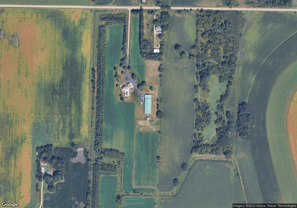
Map
Nearby Homes
- N5814 Hillside Dr
- N6291 Sunset Rd
- N5654 County Road F
- N6021 Grey Fox Trail
- N6190 County Road F
- W2723 U S 18
- W2344 Rome Rd
- N6471 County Rd E
- W1048 Concord Center Dr
- 5724 N Helenville Rd
- N5724 N Helenville Rd
- W1945 Main St
- N3809 West St
- N5025 Coffee Rd
- W3476 Ranch Rd
- W356 Allen Rd
- 1388 Mamerow Ln W
- 1270 Mamerow Ln W
- The Berkshire Plan at Hickorywood Farms
- The Eliza Plan at Hickorywood Farms
- W1957 Bakertown Dr
- N5306 Hillside Dr
- n 5438 Hillside Dr
- N5438 Hillside Dr
- L1 Hillside Dr
- N5303 Hillside Dr
- N5456 Hillside Dr
- N5468 Hillside Dr
- N5345 Hillside Dr
- N5455 Hillside Dr
- N5512 Hillside Dr
- N5493 Hillside Dr
- N5381 Hillside Dr
- N5408 Pioneer Dr
- N5365 Hillside Dr
- N5434 Pioneer Dr
- N5496 Pioneer Dr
- N5354 Pioneer Dr
- N5517 Pioneer Dr
- N5581 Pioneer Dr