W1976 Apache Ave Fremont, WI 54940
Estimated Value: $279,000 - $469,237
Studio
--
Bath
--
Sq Ft
42
Acres Lot
About This Home
This home is located at W1976 Apache Ave, Fremont, WI 54940 and is currently estimated at $372,559. W1976 Apache Ave is a home located in Waushara County with nearby schools including Weyauwega Elementary School, Weyauwega Middle School, and Weyauwega High School.
Ownership History
Date
Name
Owned For
Owner Type
Purchase Details
Closed on
Aug 30, 2017
Sold by
Kath Tia A and Berndt Tia A
Bought by
Kath Darin L and Kath Tia A
Current Estimated Value
Purchase Details
Closed on
Feb 13, 2014
Sold by
Eric G Eric G
Bought by
Berndt Tia A
Create a Home Valuation Report for This Property
The Home Valuation Report is an in-depth analysis detailing your home's value as well as a comparison with similar homes in the area
Purchase History
| Date | Buyer | Sale Price | Title Company |
|---|---|---|---|
| Kath Darin L | -- | None Available | |
| Berndt Tia A | -- | -- |
Source: Public Records
Tax History
| Year | Tax Paid | Tax Assessment Tax Assessment Total Assessment is a certain percentage of the fair market value that is determined by local assessors to be the total taxable value of land and additions on the property. | Land | Improvement |
|---|---|---|---|---|
| 2025 | $4,558 | $318,200 | $58,100 | $260,100 |
| 2024 | $4,693 | $318,500 | $58,400 | $260,100 |
| 2023 | $4,585 | $317,700 | $57,600 | $260,100 |
| 2022 | $3,959 | $187,600 | $33,300 | $154,300 |
| 2021 | $3,735 | $188,000 | $33,700 | $154,300 |
| 2020 | $3,620 | $188,200 | $33,900 | $154,300 |
| 2019 | $3,613 | $187,700 | $33,400 | $154,300 |
| 2018 | $3,469 | $188,000 | $33,700 | $154,300 |
| 2017 | $3,428 | $188,000 | $33,700 | $154,300 |
| 2016 | $3,000 | $188,100 | $33,800 | $154,300 |
| 2015 | $3,006 | $188,200 | $33,900 | $154,300 |
| 2014 | -- | $188,500 | $34,200 | $154,300 |
| 2013 | -- | $188,700 | $34,400 | $154,300 |
Source: Public Records
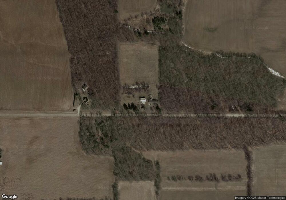
Map
Nearby Homes
- Lt1 Wisconsin 49
- 0 County Road A
- N6989 N County Road A
- 0 30th Rd Unit 50321968
- 0 Alp Dr
- N5275 County Road Nn
- W2482 County Road H
- N6677 37th Ave
- N5121 36th Dr
- W285 Oak St
- E5975 Sunset Ct
- W3016 County Road H
- 0 Pine St Unit 50313240
- W3912 County Road H
- 9205 Willow Ln
- W4506 County Road Tt
- N3537 Blackhawk Rd
- 134 Tustin Rd
- 0 Pine Ln
- 8974 County Road II Rd
- W2028 Apache Ave
- W1871 Apache Ave
- W2099 Apache Ave
- N6221 32nd Ave
- W2144 Apache Ave
- N6148 Wisconsin 49
- N6227 32nd Ave
- W1781 Apache Ave
- N6274 32nd Ave
- n 6274 32nd Ave
- W2185 Apache Ave
- W2253 Apache Ave
- N6396 32nd Ave
- W2278 Apache Ave
- N6375 Wisconsin 49
- W2269 Apache Ave
- N6367 32nd Ave
- W2291 Apache Ave
- N6389 32nd Ave
- W1698 Apache Ave
Your Personal Tour Guide
Ask me questions while you tour the home.