Estimated Value: $158,000 - $255,000
--
Bed
--
Bath
--
Sq Ft
4.42
Acres
About This Home
This home is located at W1993 Spencer Rd, Loyal, WI 54446 and is currently estimated at $219,792. W1993 Spencer Rd is a home located in Clark County with nearby schools including Loyal Elementary School, Loyal Middle School, and Loyal High School.
Ownership History
Date
Name
Owned For
Owner Type
Purchase Details
Closed on
Dec 18, 2020
Sold by
Pardi Michael J and Pardi Heather E
Bought by
Harbury Joel D
Current Estimated Value
Home Financials for this Owner
Home Financials are based on the most recent Mortgage that was taken out on this home.
Original Mortgage
$159,090
Outstanding Balance
$141,638
Interest Rate
2.7%
Mortgage Type
New Conventional
Estimated Equity
$78,154
Purchase Details
Closed on
Jun 27, 2017
Sold by
Pardi Michael J and Pardi Heather E
Bought by
Pardi Michael J and Pardi Heather E
Home Financials for this Owner
Home Financials are based on the most recent Mortgage that was taken out on this home.
Original Mortgage
$104,000
Interest Rate
3.95%
Mortgage Type
FHA
Purchase Details
Closed on
Jul 2, 2010
Sold by
Delis Richard A and Delis Lisa Jo
Bought by
Pardi Michael J
Create a Home Valuation Report for This Property
The Home Valuation Report is an in-depth analysis detailing your home's value as well as a comparison with similar homes in the area
Home Values in the Area
Average Home Value in this Area
Purchase History
| Date | Buyer | Sale Price | Title Company |
|---|---|---|---|
| Harbury Joel D | $159,000 | Midwest Title | |
| Pardi Michael J | -- | None Available | |
| Pardi Michael J | $90,000 | -- |
Source: Public Records
Mortgage History
| Date | Status | Borrower | Loan Amount |
|---|---|---|---|
| Open | Harbury Joel D | $159,090 | |
| Previous Owner | Pardi Michael J | $104,000 |
Source: Public Records
Tax History Compared to Growth
Tax History
| Year | Tax Paid | Tax Assessment Tax Assessment Total Assessment is a certain percentage of the fair market value that is determined by local assessors to be the total taxable value of land and additions on the property. | Land | Improvement |
|---|---|---|---|---|
| 2024 | $2,817 | $134,900 | $13,900 | $121,000 |
| 2023 | $2,519 | $134,900 | $13,900 | $121,000 |
| 2022 | $2,147 | $134,900 | $13,900 | $121,000 |
| 2021 | $1,935 | $134,900 | $13,900 | $121,000 |
| 2020 | $2,115 | $109,800 | $13,900 | $95,900 |
| 2019 | $2,056 | $109,800 | $13,900 | $95,900 |
| 2018 | $2,027 | $109,800 | $13,900 | $95,900 |
| 2017 | $277 | $109,800 | $13,900 | $95,900 |
| 2016 | $2,037 | $109,800 | $13,900 | $95,900 |
| 2015 | -- | $109,800 | $13,900 | $95,900 |
| 2014 | -- | $109,800 | $13,900 | $95,900 |
| 2013 | -- | $109,800 | $13,900 | $95,900 |
| 2011 | -- | $109,800 | $13,900 | $95,900 |
Source: Public Records
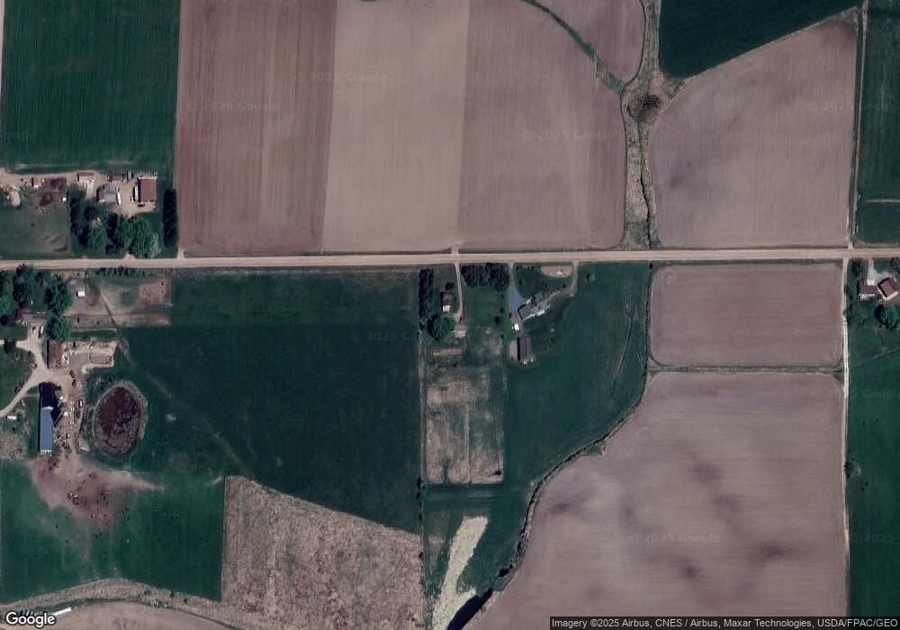
Map
Nearby Homes
- 0 Chickadee Rd Unit 22505635
- N10160 Sparrow Ave
- Lot 10 Woodsview Rd
- 314 N Division St
- 210 S Division St
- 311 W South St
- 400 W Mill St
- 501 S Main St
- N10409 Hiline Ave
- 0 Hiline Ave Unit 22504296
- 508 W South St
- Lot 4 and 5 Fairhaven Ave
- 815 W Roberts St
- 205 W Clark St
- 203 W Mill St
- 0 201 W Dove St Unit 22505694
- 203 Kobs St
- 306 E Clark St
- 407 N Douglas St
- 309 E Clark St