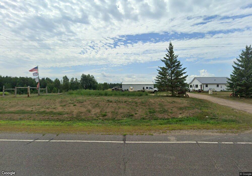
W2033 County Highway A Springbrook, WI 54875
Estimated Value: $169,000 - $268,885
3
Beds
1
Bath
--
Sq Ft
240,016
Sq Ft Lot
About This Home
This home is located at W2033 County Highway A, Springbrook, WI 54875 and is currently estimated at $221,221. W2033 County Highway A is a home located in Washburn County with nearby schools including Spooner Elementary School, Spooner Middle School, and Spooner High School.
Ownership History
Date
Name
Owned For
Owner Type
Purchase Details
Closed on
May 11, 2018
Sold by
Ml Holst Llc A Wisconsin Limited Liabili
Bought by
Anderson Taylor J
Current Estimated Value
Purchase Details
Closed on
Jun 9, 2010
Sold by
Cumberland Federal Bank Fsb
Bought by
M L Holst Llc
Purchase Details
Closed on
May 5, 2009
Sold by
Ml Holst Llc A Wisconsin Limited Liabili
Bought by
Arkema Herman and Arkema Kathleen E
Purchase Details
Closed on
Jul 26, 2007
Sold by
Ml Holst Llc
Bought by
Arkema Herman and Arkema Kathleen E
Create a Home Valuation Report for This Property
The Home Valuation Report is an in-depth analysis detailing your home's value as well as a comparison with similar homes in the area
Purchase History
| Date | Buyer | Sale Price | Title Company |
|---|---|---|---|
| Anderson Taylor J | $109,000 | -- | |
| M L Holst Llc | -- | -- | |
| Arkema Herman | $125,000 | -- | |
| Arkema Herman | $130,000 | -- |
Source: Public Records
Tax History
| Year | Tax Paid | Tax Assessment Tax Assessment Total Assessment is a certain percentage of the fair market value that is determined by local assessors to be the total taxable value of land and additions on the property. | Land | Improvement |
|---|---|---|---|---|
| 2025 | $2,216 | $109,100 | $14,900 | $94,200 |
| 2023 | $2,071 | $109,100 | $14,900 | $94,200 |
| 2022 | $1,697 | $109,100 | $14,900 | $94,200 |
| 2021 | $1,659 | $109,100 | $14,900 | $94,200 |
| 2020 | $1,726 | $109,100 | $14,900 | $94,200 |
| 2019 | $1,547 | $91,400 | $14,900 | $76,500 |
| 2018 | $1,680 | $91,400 | $14,900 | $76,500 |
| 2017 | $1,635 | $91,400 | $14,900 | $76,500 |
| 2016 | $1,579 | $91,400 | $14,900 | $76,500 |
| 2015 | $1,490 | $91,400 | $14,900 | $76,500 |
| 2014 | $1,445 | $91,400 | $14,900 | $76,500 |
| 2012 | $1,399 | $92,800 | $16,300 | $76,500 |
Source: Public Records
Map
Nearby Homes
- N6718 5th St
- 6772 5th St
- N5909 Lake Rd
- Lot 1 Timber Wolf Dr
- Lot 1 Division Ave
- 0 Division Ave
- 1.74 Acres 9th St
- N8065 Wolf Ln
- 16858 4th St S
- 3980 County Hwy E
- N8673 Fire Lane Rd
- 3380 W Highway 63
- 0 Fire Lane Rd Unit 26376520
- 0 Highway 63
- 40 acres on Highway 63
- N8110 Stone Lake Rd
- 00 Larson Rd
- N8829 Cty E Rd
- N9156 Tripp Rd
- 228 Peters Rd
- 2033 W Hwy A
- LOT 5 Holst Ln
- LOT 2&3 Holst Ln
- LOT 6&7 Holst Ln
- LOT 1 Holst Ln
- LOT 1 Hwy A
- W2033 Hwy A
- W1970 Hwy A
- LOT 2 Holst Ln
- W1997 County Highway A
- Lot 6 Holst Ln
- 6581 Mackey Rd
- W2109 Hwy A
- Lot 7 Holst Ln
- W1970 County Highway A Unit A
- N6449 Fred Tripp Rd
- W2109 County Highway A
- W2109 County Highway A
- N6581 Mackey Rd
- Lot 3 Holst Ln
Your Personal Tour Guide
Ask me questions while you tour the home.