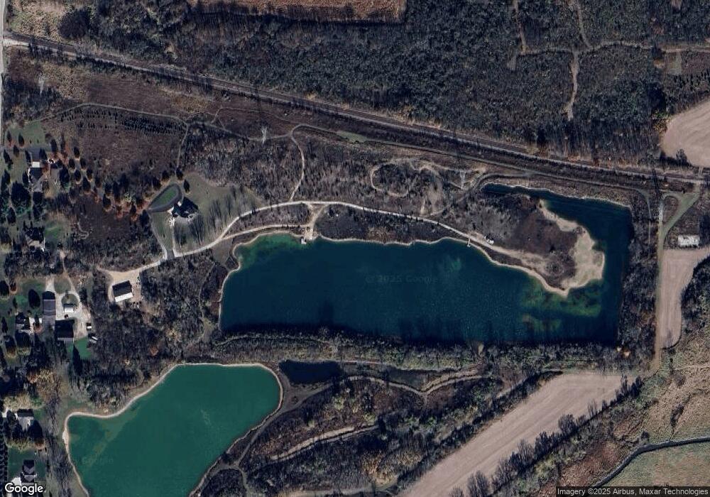
W204N6130 Lannon Rd Menomonee Falls, WI 53051
Estimated Value: $960,000 - $1,417,006
3
Beds
5
Baths
5,323
Sq Ft
$203/Sq Ft
Est. Value
About This Home
This home is located at W204N6130 Lannon Rd, Menomonee Falls, WI 53051 and is currently estimated at $1,081,252, approximately $203 per square foot. W204N6130 Lannon Rd is a home located in Waukesha County with nearby schools including Lannon Elementary School, Templeton Middle School, and Hamilton High School.
Ownership History
Date
Name
Owned For
Owner Type
Purchase Details
Closed on
Feb 11, 2025
Sold by
Heiden Lydia A
Bought by
Lydia A Heiden Trust and Heiden
Current Estimated Value
Purchase Details
Closed on
Feb 19, 2020
Sold by
Oleary Trust
Bought by
Heiden Daniel R and Heiden Lydia A
Purchase Details
Closed on
Dec 7, 2018
Sold by
Brooks Darren K and Brooks Julie W
Bought by
Heiden Daniel R and Heiden Lydia A
Create a Home Valuation Report for This Property
The Home Valuation Report is an in-depth analysis detailing your home's value as well as a comparison with similar homes in the area
Home Values in the Area
Average Home Value in this Area
Purchase History
| Date | Buyer | Sale Price | Title Company |
|---|---|---|---|
| Lydia A Heiden Trust | -- | None Listed On Document | |
| Heiden Daniel R | -- | None Available | |
| Heiden Daniel R | -- | None Available |
Source: Public Records
Tax History Compared to Growth
Tax History
| Year | Tax Paid | Tax Assessment Tax Assessment Total Assessment is a certain percentage of the fair market value that is determined by local assessors to be the total taxable value of land and additions on the property. | Land | Improvement |
|---|---|---|---|---|
| 2024 | $10,431 | $918,100 | $226,100 | $692,000 |
| 2023 | $10,072 | $918,100 | $226,100 | $692,000 |
| 2022 | $10,883 | $669,000 | $159,100 | $509,900 |
| 2021 | $10,251 | $669,000 | $159,100 | $509,900 |
| 2020 | $10,194 | $669,000 | $159,100 | $509,900 |
| 2019 | $10,306 | $669,000 | $159,100 | $509,900 |
| 2018 | $9,624 | $647,000 | $159,100 | $487,900 |
| 2017 | $9,301 | $647,000 | $159,100 | $487,900 |
| 2016 | $9,525 | $647,000 | $159,100 | $487,900 |
| 2015 | $9,981 | $647,000 | $159,100 | $487,900 |
| 2014 | $11,062 | $647,000 | $159,100 | $487,900 |
| 2013 | $11,062 | $647,000 | $159,100 | $487,900 |
Source: Public Records
Map
Nearby Homes
- Lt126 Darnooh Ct
- Lt122 Darnooh Ct
- Lt124 Darnooh Ct
- Lt125 Darnooh Ct
- Lt121 Darnooh Ct
- N64W20755 Mill Rd
- W195N5814 Deer Park Ct
- W207N5817 Muirfield Dr
- W207N5766 Muirfield Dr
- N57W20859 Lomond Rd
- N57W20904 Lomond Rd
- N58W19314 Fox River Way
- N57W19673 Holly Ct
- N56W20767 Carnoustie Way
- N56W20795 Carnoustie Way
- N56W20856 Carnoustie Way
- N56W20832 Carnoustie Way
- N56W20744 Carnoustie Way
- Lt105 Turnberry Ln
- Lt104 Turnberry Ln
- W204N6108 Lannon Rd
- W204N6066 Lannon Rd
- W204N6016 Lannon Rd
- W204N5988 Lannon Rd
- W204N5948 Lannon Rd
- W204N5930 Lannon Rd
- W204N6286 Lannon Rd
- W204N5967 Lannon Rd
- N64W20161 Mill Rd
- W204N5860 Lannon Rd
- W204N5925 Lannon Rd
- N64W20221 Mill Rd
- 0 County Road G Unit 1573586
- 0 County Road G Unit 1617247
- W204N5873 Lannon Rd
- W204N5842 Lannon Rd
- N64W20295 Mill Rd
- W204N5822 Lannon Rd
- N64W20027 Mill Rd
- N64W19967 Mill Rd
