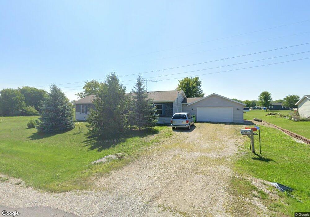
W2079 Tim Dr Brillion, WI 54110
Forest Junction NeighborhoodEstimated Value: $227,958 - $340,000
--
Bed
--
Bath
--
Sq Ft
0.62
Acres
About This Home
This home is located at W2079 Tim Dr, Brillion, WI 54110 and is currently estimated at $280,990. W2079 Tim Dr is a home located in Calumet County with nearby schools including Brillion Elementary School, Brillion Middle School, and Brillion High School.
Ownership History
Date
Name
Owned For
Owner Type
Purchase Details
Closed on
Mar 5, 2013
Sold by
Thomack Michael T
Bought by
Thomack Michael T and Case Vicki A
Current Estimated Value
Home Financials for this Owner
Home Financials are based on the most recent Mortgage that was taken out on this home.
Original Mortgage
$188,000
Outstanding Balance
$132,366
Interest Rate
3.49%
Mortgage Type
New Conventional
Estimated Equity
$148,624
Purchase Details
Closed on
Jun 15, 2007
Sold by
Beyersdorf Marjone
Bought by
Thomack Michael T
Home Financials for this Owner
Home Financials are based on the most recent Mortgage that was taken out on this home.
Original Mortgage
$205,000
Interest Rate
6.2%
Mortgage Type
Unknown
Create a Home Valuation Report for This Property
The Home Valuation Report is an in-depth analysis detailing your home's value as well as a comparison with similar homes in the area
Home Values in the Area
Average Home Value in this Area
Purchase History
| Date | Buyer | Sale Price | Title Company |
|---|---|---|---|
| Thomack Michael T | -- | Capital Title & Closing Serv | |
| Thomack Michael T | $23,500 | None Available |
Source: Public Records
Mortgage History
| Date | Status | Borrower | Loan Amount |
|---|---|---|---|
| Open | Thomack Michael T | $188,000 | |
| Closed | Thomack Michael T | $205,000 |
Source: Public Records
Tax History Compared to Growth
Tax History
| Year | Tax Paid | Tax Assessment Tax Assessment Total Assessment is a certain percentage of the fair market value that is determined by local assessors to be the total taxable value of land and additions on the property. | Land | Improvement |
|---|---|---|---|---|
| 2024 | -- | $124,900 | $15,300 | $109,600 |
| 2023 | $2,711 | $124,900 | $15,300 | $109,600 |
| 2022 | $2,655 | $124,900 | $15,300 | $109,600 |
| 2021 | $2,629 | $124,900 | $15,300 | $109,600 |
| 2020 | $2,436 | $124,900 | $15,300 | $109,600 |
| 2019 | $2,510 | $102,800 | $15,300 | $87,500 |
| 2018 | $2,429 | $102,800 | $15,300 | $87,500 |
| 2017 | $2,454 | $102,800 | $15,300 | $87,500 |
| 2016 | $2,452 | $102,800 | $15,300 | $87,500 |
| 2015 | $2,520 | $102,800 | $15,300 | $87,500 |
| 2013 | -- | $158,000 | $21,100 | $136,900 |
Source: Public Records
Map
Nearby Homes
- W2063 Tim Dr
- N8865 Tiffany Ln
- 0 Randolph St Unit 50298814
- 310 W Ryan St
- 314 Columbus Ave
- 600 N Main St
- 315 S Glenview Ave
- 422 Fawn Dr
- 406 S Parkway Dr
- 401 S Parkway Dr
- 124 S Custer St
- 219 Cleveland St
- 208 W National Ave
- N884 County Road Gg
- 230 Bentwood Dr
- 232 Macarthur Ave
- 726 S Main St
- 209 Grand Ave
- 260 Lamers Clancy Rd
- 100 Bentwood Dr
- N9002 Church St
- 0 Tim Dr Unit 50011851
- 0 Tim Dr Unit 50009584
- n 9017 Mary Ellen Ct
- N9017 Mary Ellen Ct
- N8982 Church St
- N9018 Church St
- n 9016 Mary Ellen Ct
- N9016 Mary Ellen Ct
- W2053 Tim Dr
- N9027 Mary Ellen Ct
- W2107 Tim Dr
- w 2107 Tim Dr
- N8972 Church St
- N9028 Church St
- N9015 Lanetta Dr
- n 9025 Mary Ellen Ct
- N9025 Mary Ellen Ct
- N9025 Lanetta Dr
- w 2115 Tim Dr