W2146 Pond Rd Neosho, WI 53059
Estimated Value: $727,000 - $1,169,000
3
Beds
3
Baths
3,400
Sq Ft
$290/Sq Ft
Est. Value
About This Home
This home is located at W2146 Pond Rd, Neosho, WI 53059 and is currently estimated at $985,092, approximately $289 per square foot. W2146 Pond Rd is a home located in Dodge County with nearby schools including Hartford High School and Lake Country Victory High School.
Ownership History
Date
Name
Owned For
Owner Type
Purchase Details
Closed on
Sep 3, 2020
Sold by
Tate Jeffrey M and Tate Cynthia M
Bought by
Johnson Dennis W and Joint Mary
Current Estimated Value
Home Financials for this Owner
Home Financials are based on the most recent Mortgage that was taken out on this home.
Original Mortgage
$230,000
Outstanding Balance
$203,731
Interest Rate
2.8%
Mortgage Type
New Conventional
Estimated Equity
$781,361
Purchase Details
Closed on
Oct 15, 2012
Sold by
Kiepert Thomas J and Kiepert Leanne M
Bought by
Tate Jeffrey M and Tate Cynthia M
Home Financials for this Owner
Home Financials are based on the most recent Mortgage that was taken out on this home.
Original Mortgage
$652,000
Interest Rate
3.57%
Mortgage Type
Purchase Money Mortgage
Create a Home Valuation Report for This Property
The Home Valuation Report is an in-depth analysis detailing your home's value as well as a comparison with similar homes in the area
Home Values in the Area
Average Home Value in this Area
Purchase History
| Date | Buyer | Sale Price | Title Company |
|---|---|---|---|
| Johnson Dennis W | $730,000 | Frontier Ttl & Closing Svcs | |
| Tate Jeffrey M | $49,800 | None Available |
Source: Public Records
Mortgage History
| Date | Status | Borrower | Loan Amount |
|---|---|---|---|
| Open | Johnson Dennis W | $230,000 | |
| Previous Owner | Tate Jeffrey M | $652,000 |
Source: Public Records
Tax History Compared to Growth
Tax History
| Year | Tax Paid | Tax Assessment Tax Assessment Total Assessment is a certain percentage of the fair market value that is determined by local assessors to be the total taxable value of land and additions on the property. | Land | Improvement |
|---|---|---|---|---|
| 2024 | $8,233 | $641,300 | $75,000 | $566,300 |
| 2023 | $7,632 | $641,300 | $75,000 | $566,300 |
| 2022 | $7,959 | $641,300 | $75,000 | $566,300 |
| 2021 | $7,569 | $484,000 | $69,400 | $414,600 |
| 2020 | $6,865 | $425,300 | $69,400 | $355,900 |
| 2019 | $6,852 | $425,300 | $69,400 | $355,900 |
| 2018 | $6,921 | $425,300 | $69,400 | $355,900 |
| 2017 | $7,086 | $425,300 | $69,400 | $355,900 |
| 2016 | $6,765 | $395,700 | $69,400 | $326,300 |
| 2015 | $6,510 | $388,700 | $69,400 | $319,300 |
| 2014 | $7,769 | $452,700 | $133,400 | $319,300 |
Source: Public Records
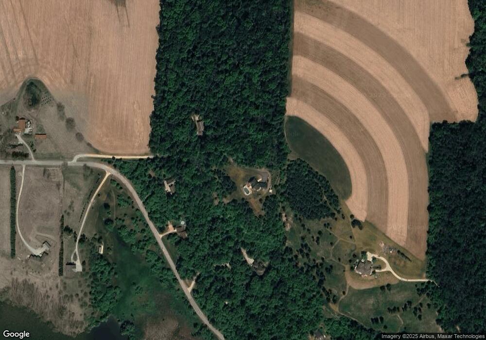
Map
Nearby Homes
- Lt1 Lilly Rd
- Lt0 Lilly Rd
- Lt2 Lilly Rd
- W2824 Fox Rd
- Lt2 Rolling Hills Dr
- N4079 County Road P
- Lt1 Wisconsin 67
- 1087 Cleveland Ave
- N5413 County Rd S
- 820 W Sumner St
- 109 S Lake St
- .68 Acre Parcel Anthony Island
- 244 S Ridge St
- 928 Broadmoore Dr
- 836 Tower Dr
- 947 Broadmoore Dr Unit 1702
- 325 Sunset Dr
- 807 Bridlewood Dr Unit Bldg 11
- 757 Bridlewood Dr
- 383 W Loos St