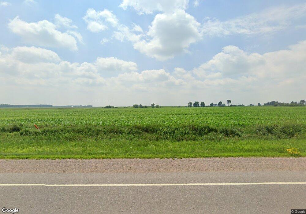
Estimated Value: $131,000 - $197,000
--
Bed
--
Bath
--
Sq Ft
2.31
Acres
About This Home
This home is located at W2183 State Highway 98, Loyal, WI 54446 and is currently estimated at $163,900. W2183 State Highway 98 is a home located in Clark County with nearby schools including Loyal Elementary School, Loyal Middle School, and Loyal High School.
Ownership History
Date
Name
Owned For
Owner Type
Purchase Details
Closed on
Jan 3, 2024
Sold by
Haslow Darline A
Bought by
Rueth Nick R and Rueth Jake H
Current Estimated Value
Purchase Details
Closed on
Mar 23, 2020
Sold by
Lucht Brandon and Lucht Debra
Bought by
Haslow Arline A
Purchase Details
Closed on
Mar 4, 2013
Sold by
Haslow Darlene A
Bought by
Rueth Rick F and Rueth Pamela R
Purchase Details
Closed on
Feb 13, 2013
Sold by
Lucht Brandon and Lucht Debra
Bought by
Haslow Darline A
Purchase Details
Closed on
Sep 30, 2008
Sold by
Haslow Darlene A
Bought by
Lucht Brandon and Lucht Debra
Create a Home Valuation Report for This Property
The Home Valuation Report is an in-depth analysis detailing your home's value as well as a comparison with similar homes in the area
Home Values in the Area
Average Home Value in this Area
Purchase History
| Date | Buyer | Sale Price | Title Company |
|---|---|---|---|
| Rueth Nick R | $12,000 | None Listed On Document | |
| Haslow Arline A | $38,100 | None Available | |
| Rueth Rick F | $56,100 | Schuster Campman Abstract An | |
| Haslow Darline A | $56,100 | Schuster Campman Abstract An | |
| Lucht Brandon | -- | -- |
Source: Public Records
Tax History Compared to Growth
Tax History
| Year | Tax Paid | Tax Assessment Tax Assessment Total Assessment is a certain percentage of the fair market value that is determined by local assessors to be the total taxable value of land and additions on the property. | Land | Improvement |
|---|---|---|---|---|
| 2024 | $1,342 | $76,800 | $11,600 | $65,200 |
| 2023 | $1,167 | $76,800 | $11,600 | $65,200 |
| 2022 | $1,030 | $76,800 | $11,600 | $65,200 |
| 2021 | $1,002 | $76,800 | $11,600 | $65,200 |
| 2020 | $1,038 | $59,800 | $8,100 | $51,700 |
| 2019 | $1,008 | $59,800 | $8,100 | $51,700 |
| 2018 | $989 | $59,800 | $8,100 | $51,700 |
| 2017 | $161 | $59,800 | $8,100 | $51,700 |
| 2016 | $1,007 | $59,800 | $8,100 | $51,700 |
| 2015 | -- | $59,800 | $8,100 | $51,700 |
| 2014 | -- | $59,800 | $8,100 | $51,700 |
| 2013 | -- | $59,800 | $8,100 | $51,700 |
| 2011 | -- | $62,700 | $11,000 | $51,700 |
Source: Public Records
Map
Nearby Homes
- 0 Chickadee Rd Unit 22505635
- 314 N Division St
- 210 S Division St
- 501 S Main St
- 311 W South St
- 309 S West St
- 400 W Mill St
- 508 W South St
- N10160 Sparrow Ave
- Lot 10 Woodsview Rd
- Lot 4 and 5 Fairhaven Ave
- 815 W Roberts St
- W839 W Rosewood Dr Unit Lot 4
- N10409 Hiline Ave
- 0 Hiline Ave Unit 22504296
- 0 201 W Dove St Unit 22505694
- 205 W Clark St
- 203 W Mill St
- 203536 Sun Ridge Dr
- N6695 Pelsdorf Ave
- W2184 State Highway 98
- N8860 Catlin Ave
- W2275 State Highway 98
- W2262 State Highway 98
- W1972 State Highway 98
- W2427 State Highway 98
- Sec 5 Catlin Rd
- N9600 Catlin Rd
- W1933 State Highway 98
- W1926 State Highway 98
- W2459 State Highway 98
- W2459 State Highway 98
- N8814 Meridian Ave
- N8994 Meridian Ave
- W2510 State Highway 98
- N9004 Meridian Ave
- N8833 Meridian Ave
- N8781 Meridian Ave
- W2559 State Highway 98
- W2590 State Highway 98
