W2189 State Highway 64 Marinette, WI 54143
Estimated Value: $175,599 - $236,000
--
Bed
--
Bath
--
Sq Ft
4.9
Acres
About This Home
This home is located at W2189 State Highway 64, Marinette, WI 54143 and is currently estimated at $198,900. W2189 State Highway 64 is a home located in Marinette County with nearby schools including Marinette Middle School, Marinette High School, and Trinity Evangelical Lutheran School.
Ownership History
Date
Name
Owned For
Owner Type
Purchase Details
Closed on
Jun 4, 2024
Sold by
Borkowski Richard R
Bought by
Borkowski Richard and Borkowski Avis
Current Estimated Value
Purchase Details
Closed on
Aug 7, 2019
Sold by
Borkowski Lois L
Bought by
Borkowski Richard R
Create a Home Valuation Report for This Property
The Home Valuation Report is an in-depth analysis detailing your home's value as well as a comparison with similar homes in the area
Home Values in the Area
Average Home Value in this Area
Purchase History
| Date | Buyer | Sale Price | Title Company |
|---|---|---|---|
| Borkowski Richard | $141,500 | Nathaniel A Johnson | |
| Borkowski Richard R | -- | -- | |
| Borkowski Richard R | -- | -- |
Source: Public Records
Tax History Compared to Growth
Tax History
| Year | Tax Paid | Tax Assessment Tax Assessment Total Assessment is a certain percentage of the fair market value that is determined by local assessors to be the total taxable value of land and additions on the property. | Land | Improvement |
|---|---|---|---|---|
| 2024 | $1,114 | $91,100 | $23,900 | $67,200 |
| 2023 | $1,199 | $91,100 | $23,900 | $67,200 |
| 2022 | $1,097 | $91,100 | $23,900 | $67,200 |
| 2021 | $943 | $91,100 | $23,900 | $67,200 |
| 2020 | $1,016 | $91,100 | $23,900 | $67,200 |
| 2019 | $995 | $91,100 | $23,900 | $67,200 |
| 2018 | $1,095 | $91,100 | $23,900 | $67,200 |
| 2017 | $1,112 | $91,100 | $23,900 | $67,200 |
| 2016 | $1,102 | $91,100 | $23,900 | $67,200 |
| 2015 | $1,105 | $91,100 | $23,900 | $67,200 |
| 2014 | $1,185 | $91,100 | $23,900 | $67,200 |
| 2012 | $1,176 | $91,100 | $23,900 | $67,200 |
Source: Public Records
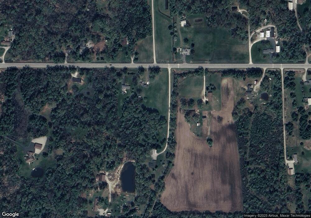
Map
Nearby Homes
- 0 Hwy 41 Unit 50304556
- N3226 Right of Way Rd
- N3221 Right of Way Rd
- 0 Old Peshtigo Rd Unit 50297484
- 0 River Dr
- W1229 W Cleveland Ave
- N4890 State Highway 180
- W1248 Old Peshtigo Rd
- N3056 River Bend Dr
- 2813 Minnesota St
- 3011 Hall Ave
- W2291 Nettleton Rd
- 3030 Carney Ave
- 1306 Myrtle St
- 0 Nettleton Rd Unit 50301985
- 0 Nettleton Rd Unit 50310614
- W1882 Rader Rd
- 2531 Carney Ave
- N5149 State Highway 180
- 2621 Parkridge Ave
- W2205 State Highway 64
- W2202 State Highway 64
- W2164 State Highway 64
- W2151 State Highway 64
- W2233 State Highway 64
- W2234 State Highway 64
- W2175 State Highway 64
- W2122 State Highway 64
- W2161 Hwy 64
- W2111 State Highway 64
- W2111 State Highway 64
- W2111 State Highway 64
- W2228 Oak Forest Ln
- N3977 Robin Ln
- W2108 State Highway 64
- N3871 Brosig Rd
- W2215 Oak Forest Ln
- W2294 State Highway 64
- N3997 Robin Ln
- W2243 Oak Forest Ln