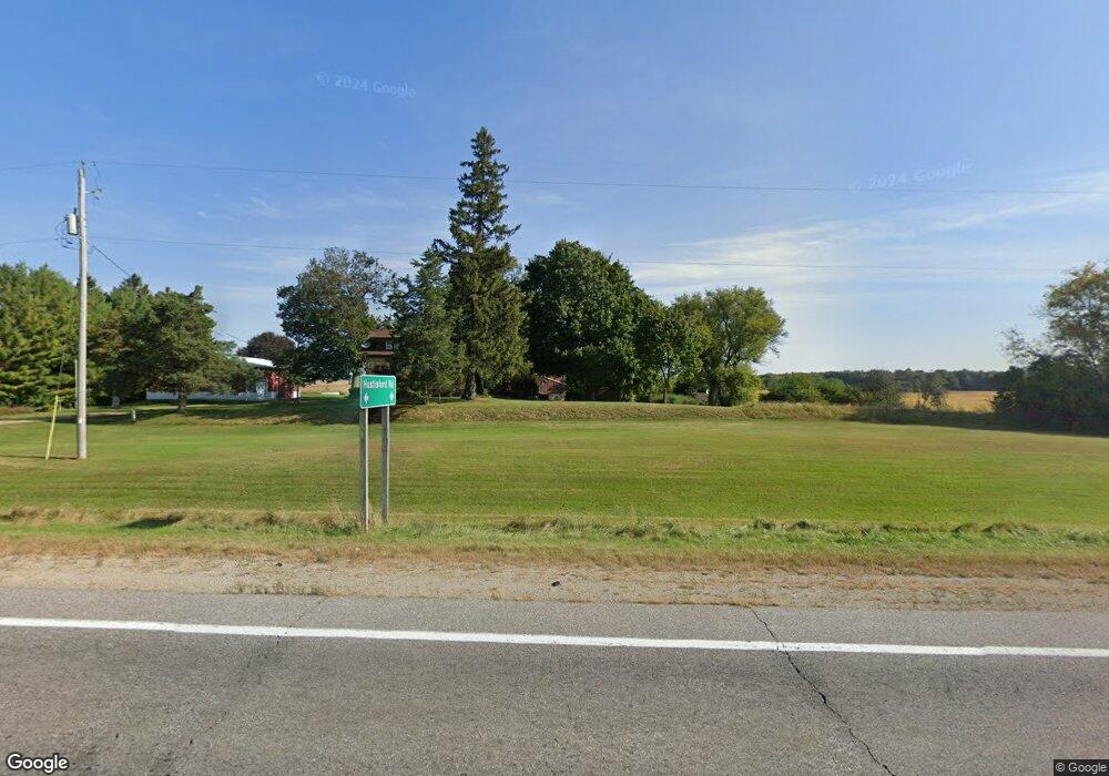
W2298 State Road 16 Watertown, WI 53094
Estimated Value: $428,000 - $498,422
--
Bed
--
Bath
--
Sq Ft
5
Acres
About This Home
This home is located at W2298 State Road 16, Watertown, WI 53094 and is currently estimated at $448,606. W2298 State Road 16 is a home with nearby schools including Johnson Creek Elementary School and Johnson Creek Middle & High School.
Ownership History
Date
Name
Owned For
Owner Type
Purchase Details
Closed on
Jul 3, 2025
Sold by
Zubke Beverly and Kubly Suzanne
Bought by
Lentz Wade R
Current Estimated Value
Home Financials for this Owner
Home Financials are based on the most recent Mortgage that was taken out on this home.
Original Mortgage
$340,000
Outstanding Balance
$338,570
Interest Rate
5.75%
Mortgage Type
New Conventional
Estimated Equity
$110,036
Create a Home Valuation Report for This Property
The Home Valuation Report is an in-depth analysis detailing your home's value as well as a comparison with similar homes in the area
Home Values in the Area
Average Home Value in this Area
Purchase History
| Date | Buyer | Sale Price | Title Company |
|---|---|---|---|
| Lentz Wade R | $425,000 | Fidelity Land & Title |
Source: Public Records
Mortgage History
| Date | Status | Borrower | Loan Amount |
|---|---|---|---|
| Open | Lentz Wade R | $340,000 |
Source: Public Records
Tax History Compared to Growth
Tax History
| Year | Tax Paid | Tax Assessment Tax Assessment Total Assessment is a certain percentage of the fair market value that is determined by local assessors to be the total taxable value of land and additions on the property. | Land | Improvement |
|---|---|---|---|---|
| 2024 | $3,232 | $307,600 | $90,800 | $216,800 |
| 2023 | $3,094 | $223,100 | $86,900 | $136,200 |
| 2022 | $3,353 | $224,100 | $86,900 | $137,200 |
| 2021 | $3,485 | $224,100 | $86,900 | $137,200 |
| 2020 | $3,210 | $224,100 | $86,900 | $137,200 |
| 2019 | $3,272 | $197,000 | $65,600 | $131,400 |
| 2018 | $3,158 | $197,000 | $65,600 | $131,400 |
| 2017 | $2,813 | $197,000 | $65,600 | $131,400 |
| 2016 | $2,872 | $197,000 | $65,600 | $131,400 |
| 2015 | $2,911 | $196,800 | $65,400 | $131,400 |
| 2014 | $3,016 | $202,500 | $71,100 | $131,400 |
| 2013 | $3,277 | $202,500 | $71,100 | $131,400 |
Source: Public Records
Map
Nearby Homes
- 0 E Confidential St Unit 1889932
- W3476 Ranch Rd
- LT3 Rock River Paradise
- Lt0 Gateway Dr
- N8538 River Rd
- 225 E Haven Dr Unit B
- 908 Franklin St
- 1507 S 10th St
- 409 Humboldt St Unit 1
- 1402 Richards Ave
- 1418 S 9th St
- 1330 S 10th St
- 1025 Richards Ave
- 1568 E Gate Dr
- 1313 Utah St
- 1314 Waldron St
- 1301 Utah St
- W1957 State Road 16 -
- 1215 Utah St
- 623 S 12th St
- N7837 Little Coffee Rd
- N7855 Little Coffee Rd
- N7780 Little Coffee Rd
- N7889 Little Coffee Rd
- W3315 Luttmann Dr
- N7744 Little Coffee Rd
- N7917 Little Coffee Rd
- N7956 Little Coffee Rd
- W3283 Luttmann Dr
- W3258 Luttmann Dr
- N7997 Little Coffee Rd
- N7648 Little Coffee Rd
- N7637 Little Coffee Rd
- N7634 Little Coffee Rd
- N7612 Little Coffee Rd
- W3595 Cattail Dr
- W3599 Cattail Dr
- N7808 County Road X
- N8094 Little Coffee Rd
- N7568 Little Coffee Rd
