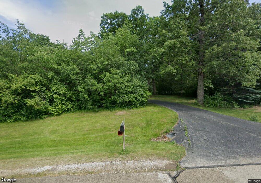
W257S10550 Horseshoe Ln Mukwonago, WI 53149
Estimated Value: $597,992 - $844,000
--
Bed
--
Bath
--
Sq Ft
3.43
Acres
About This Home
This home is located at W257S10550 Horseshoe Ln, Mukwonago, WI 53149 and is currently estimated at $720,996. W257S10550 Horseshoe Ln is a home located in Waukesha County with nearby schools including Big Bend Elementary School, Park View Middle School, and Mukwonago High School.
Ownership History
Date
Name
Owned For
Owner Type
Purchase Details
Closed on
Apr 18, 2005
Sold by
Hanson Robert L and Hanson Julia M
Bought by
Fink Daniel A and Warner Marianne G
Current Estimated Value
Home Financials for this Owner
Home Financials are based on the most recent Mortgage that was taken out on this home.
Original Mortgage
$339,000
Outstanding Balance
$176,186
Interest Rate
5.89%
Mortgage Type
Fannie Mae Freddie Mac
Estimated Equity
$544,810
Create a Home Valuation Report for This Property
The Home Valuation Report is an in-depth analysis detailing your home's value as well as a comparison with similar homes in the area
Home Values in the Area
Average Home Value in this Area
Purchase History
| Date | Buyer | Sale Price | Title Company |
|---|---|---|---|
| Fink Daniel A | $424,900 | Metropolitan Title Company |
Source: Public Records
Mortgage History
| Date | Status | Borrower | Loan Amount |
|---|---|---|---|
| Open | Fink Daniel A | $339,000 |
Source: Public Records
Tax History Compared to Growth
Tax History
| Year | Tax Paid | Tax Assessment Tax Assessment Total Assessment is a certain percentage of the fair market value that is determined by local assessors to be the total taxable value of land and additions on the property. | Land | Improvement |
|---|---|---|---|---|
| 2024 | $4,290 | $528,600 | $139,500 | $389,100 |
| 2023 | $4,174 | $528,600 | $139,500 | $389,100 |
| 2022 | $4,689 | $424,600 | $109,300 | $315,300 |
| 2021 | $4,637 | $424,600 | $109,300 | $315,300 |
| 2020 | $4,695 | $424,600 | $109,300 | $315,300 |
| 2019 | $4,474 | $362,100 | $95,000 | $267,100 |
| 2018 | $4,499 | $362,100 | $95,000 | $267,100 |
| 2017 | $4,451 | $362,100 | $95,000 | $267,100 |
| 2016 | $4,449 | $362,100 | $95,000 | $267,100 |
| 2015 | $4,357 | $362,100 | $95,000 | $267,100 |
| 2014 | $4,776 | $0 | $0 | $0 |
| 2013 | $4,776 | $366,800 | $96,000 | $270,800 |
Source: Public Records
Map
Nearby Homes
- W240S10240 Castle Rd
- 8428 Fox River Rd
- 7908 Fox River Rd
- 1625 Grey Fox Trail Unit F
- 1617 Grey Fox Trail Unit C
- 1629 Grey Fox Trail Unit B
- 1629 Grey Fox Trail Unit C
- 1629 Grey Fox Trail Unit D
- 1633 Grey Fox Trail Unit E
- 7820 Fox River Rd
- 1730 Cardinal Ct
- 1760 Cardinal Ct
- 915 Cardinal Ln
- Floor 2 Plan at Edgewood Meadows
- 1st Floor Plan at Edgewood Meadows
- 1725 Cardinal Ct
- The Wingra Plan at Cardinal Ridge
- The Windsor Plan at Cardinal Ridge
- The Siena Plan at Cardinal Ridge
- The Sheridan Plan at Cardinal Ridge
- W257S10580 Horseshoe Ln
- W257S10510 Horseshoe Ln
- W257S10525 Horseshoe Ln
- W257S10525 Horseshoe Ln Unit Lt12 Landmark Estate
- W257S10575 Horseshoe Ln
- W257S10620 Horseshoe Ln
- W258S10625 Horseshoe Ln
- W258S10640 Horseshoe Ln
- W258S10635 Horseshoe Ln
- S107W25810 Horseshoe Ln
- S107W25580 Forest Home Ave
- W258S10645 Horseshoe Ln
- W256S10400 Sandhill Ridge
- S107W25855 Horseshoe Ln
- S107W25830 Horseshoe Ln
- S107W25620 Forest Home Ave
- S106W25500 Forest Home Ave
- S108W25680 Forest Home Ave
- W256S10399 Sandhill Ridge
- W256S10370 Sandhill Ridge