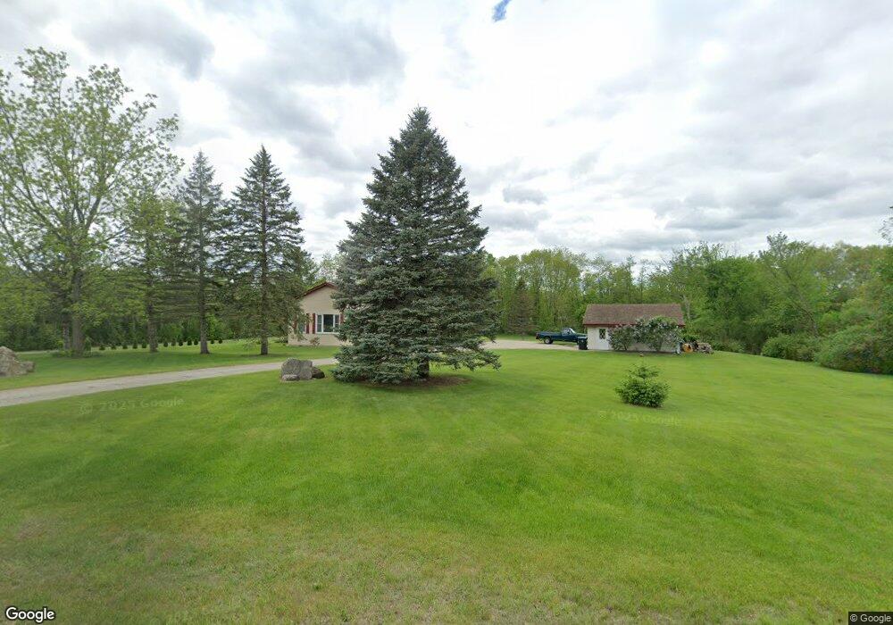
W269S8445 Alpine Dr Mukwonago, WI 53149
Estimated Value: $502,480 - $543,000
--
Bed
--
Bath
--
Sq Ft
2.47
Acres
About This Home
This home is located at W269S8445 Alpine Dr, Mukwonago, WI 53149 and is currently estimated at $521,370. W269S8445 Alpine Dr is a home with nearby schools including Clarendon Avenue Elementary School, Park View Middle School, and Mukwonago High School.
Ownership History
Date
Name
Owned For
Owner Type
Purchase Details
Closed on
Mar 30, 2018
Sold by
Hockenberry Daniel J and Hockenberry Keely L
Bought by
Foley Thomas and Bordeaux Lauren
Current Estimated Value
Home Financials for this Owner
Home Financials are based on the most recent Mortgage that was taken out on this home.
Original Mortgage
$268,850
Outstanding Balance
$230,991
Interest Rate
4.4%
Mortgage Type
New Conventional
Estimated Equity
$290,379
Purchase Details
Closed on
Apr 8, 2011
Sold by
Fannie Mae
Bought by
Hockenberry Daniel J and Hockenberry Keely L
Home Financials for this Owner
Home Financials are based on the most recent Mortgage that was taken out on this home.
Original Mortgage
$131,600
Interest Rate
4.86%
Mortgage Type
New Conventional
Purchase Details
Closed on
Jun 28, 2010
Sold by
Adkins John D
Bought by
Federal National Mortgage Association
Create a Home Valuation Report for This Property
The Home Valuation Report is an in-depth analysis detailing your home's value as well as a comparison with similar homes in the area
Home Values in the Area
Average Home Value in this Area
Purchase History
| Date | Buyer | Sale Price | Title Company |
|---|---|---|---|
| Foley Thomas | $283,000 | Knight Barry Title Inc | |
| Hockenberry Daniel J | -- | None Available | |
| Federal National Mortgage Association | -- | None Available |
Source: Public Records
Mortgage History
| Date | Status | Borrower | Loan Amount |
|---|---|---|---|
| Open | Foley Thomas | $268,850 | |
| Previous Owner | Hockenberry Daniel J | $131,600 |
Source: Public Records
Tax History Compared to Growth
Tax History
| Year | Tax Paid | Tax Assessment Tax Assessment Total Assessment is a certain percentage of the fair market value that is determined by local assessors to be the total taxable value of land and additions on the property. | Land | Improvement |
|---|---|---|---|---|
| 2024 | $3,078 | $380,000 | $127,500 | $252,500 |
| 2023 | $2,981 | $380,000 | $127,500 | $252,500 |
| 2022 | $3,208 | $291,800 | $101,000 | $190,800 |
| 2021 | $3,164 | $291,800 | $101,000 | $190,800 |
| 2020 | $3,222 | $291,800 | $101,000 | $190,800 |
| 2019 | $3,061 | $248,700 | $87,800 | $160,900 |
| 2018 | $3,083 | $248,700 | $87,800 | $160,900 |
| 2017 | $3,477 | $248,700 | $87,800 | $160,900 |
| 2016 | $3,161 | $248,700 | $87,800 | $160,900 |
| 2015 | $3,089 | $248,700 | $87,800 | $160,900 |
| 2014 | $3,355 | $0 | $0 | $0 |
| 2013 | $3,355 | $253,600 | $90,000 | $163,600 |
Source: Public Records
Map
Nearby Homes
- W279S8820 Lookout Ln
- W277S9025 Hidden Lakes Ct
- 1725 Cardinal Ct
- The Wingra Plan at Cardinal Ridge
- The Windsor Plan at Cardinal Ridge
- The Siena Plan at Cardinal Ridge
- The Sheridan Plan at Cardinal Ridge
- The Saybrook Plan at Cardinal Ridge
- The McKinley Plan at Cardinal Ridge
- The Hudson Plan at Cardinal Ridge
- The Harrington Plan at Cardinal Ridge
- The Drake Plan at Cardinal Ridge
- The Dover Plan at Cardinal Ridge
- The Coral Plan at Cardinal Ridge
- The Conway Plan at Cardinal Ridge
- The Charleston Plan at Cardinal Ridge
- The Catalina Plan at Cardinal Ridge
- The Caspian Plan at Cardinal Ridge
- The Bridgeport Plan at Cardinal Ridge
- The Bradford Plan at Cardinal Ridge
- W269S8450 Alpine Dr
- W268S8490 Alpine Dr
- S84W26820 Alpine Dr
- W269S8425 Alpine Dr
- S83W24375 Artesian Ave
- W268S8445 Alpine Dr
- W268S8480 Alpine Dr
- W268S8315 Alpine Dr
- S87W26980 National Ave
- S86W26950 National Ave
- W269S8475 Alpine Dr
- W268S8585 Alpine Dr
- W268S8580 Alpine Dr
- W268S8380 Alpine Dr
- S86W26860 National Ave
- S84W26670 National Ave
- S87W26990 National Ave
- S84W26650 National Ave
- W268S8350 Alpine Dr
- S86W26825 National Ave