W270N6196 Moraine Dr Sussex, WI 53089
Estimated Value: $537,083 - $626,000
--
Bed
--
Bath
--
Sq Ft
2.1
Acres
About This Home
This home is located at W270N6196 Moraine Dr, Sussex, WI 53089 and is currently estimated at $579,694. W270N6196 Moraine Dr is a home located in Waukesha County with nearby schools including Richmond School District, Arrowhead High School, and Zion Lutheran School.
Ownership History
Date
Name
Owned For
Owner Type
Purchase Details
Closed on
Feb 25, 2025
Sold by
John And Marilynn Spitz Joint Trust and Spitz John C
Bought by
Spitz Family Limited Partnership
Current Estimated Value
Purchase Details
Closed on
Jan 13, 2025
Sold by
Spitz John C and Spitz Marilynn
Bought by
John And Marilynn Spitz Joint Trust and Spitz
Purchase Details
Closed on
Oct 24, 2006
Sold by
Livi William C and Livi Sandra
Bought by
Lisbon Land Partnership Llp
Purchase Details
Closed on
Oct 29, 2003
Sold by
Livi William C and Livi Sandra
Bought by
Lisbon Land Partnership Llp
Home Financials for this Owner
Home Financials are based on the most recent Mortgage that was taken out on this home.
Original Mortgage
$111,908
Interest Rate
6.07%
Mortgage Type
Seller Take Back
Create a Home Valuation Report for This Property
The Home Valuation Report is an in-depth analysis detailing your home's value as well as a comparison with similar homes in the area
Home Values in the Area
Average Home Value in this Area
Purchase History
| Date | Buyer | Sale Price | Title Company |
|---|---|---|---|
| Spitz Family Limited Partnership | -- | None Listed On Document | |
| John And Marilynn Spitz Joint Trust | -- | None Listed On Document | |
| Spitz John C | -- | None Listed On Document | |
| Lisbon Land Partnership Llp | -- | None Available | |
| Lisbon Land Partnership Llp | $291,908 | -- |
Source: Public Records
Mortgage History
| Date | Status | Borrower | Loan Amount |
|---|---|---|---|
| Previous Owner | Lisbon Land Partnership Llp | $111,908 |
Source: Public Records
Tax History Compared to Growth
Tax History
| Year | Tax Paid | Tax Assessment Tax Assessment Total Assessment is a certain percentage of the fair market value that is determined by local assessors to be the total taxable value of land and additions on the property. | Land | Improvement |
|---|---|---|---|---|
| 2024 | $4,712 | $381,400 | $98,300 | $283,100 |
| 2023 | $4,513 | $381,400 | $98,300 | $283,100 |
| 2022 | $4,761 | $381,400 | $98,300 | $283,100 |
| 2021 | $4,675 | $381,400 | $98,300 | $283,100 |
| 2020 | $4,411 | $273,900 | $81,900 | $192,000 |
| 2019 | $4,689 | $273,900 | $81,900 | $192,000 |
| 2018 | $4,738 | $273,900 | $81,900 | $192,000 |
| 2017 | $4,876 | $273,900 | $81,900 | $192,000 |
| 2016 | $5,127 | $273,900 | $81,900 | $192,000 |
| 2015 | $4,733 | $273,900 | $81,900 | $192,000 |
| 2014 | $4,717 | $273,900 | $81,900 | $192,000 |
| 2013 | $4,717 | $273,900 | $81,900 | $192,000 |
Source: Public Records
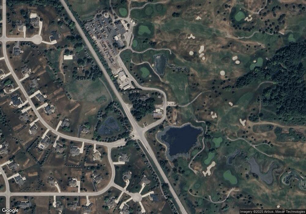
Map
Nearby Homes
- Lt40 Autumn Ct
- N58W25990 Autumn Ct
- W257N5886 Autumn Ct
- N58W25914 Autumn Ct
- W259N5936 Amberwood Ct
- N58W26468 Mount Du Lac Dr
- W278N6160 Alecen Ct
- Lt9 Bracklyn Dr
- W275N6232 Serenity Dr
- Lt17 Saint Patricks Ct
- The Sycamore Plan at Homestead Ridge
- The Birchwood Plan at Homestead Ridge
- The Walnut Plan at Homestead Ridge
- The Acacia Plan at Homestead Ridge
- The Lavender Plan at Homestead Ridge
- The Savannah Plan at Homestead Ridge
- The Marigold Plan at Homestead Ridge
- The Juneberry Plan at Homestead Ridge
- The Wicklow Plan at Homestead Ridge
- The Holly Plan at Homestead Ridge
- N60W27028 Kates Ct
- N60W27060 Kates Ct
- W271N6144 Maple St
- W270N6139 Maple St
- W273N5841 Autumn Run
- N60W27062 Trappers Run
- W271N6164 Maple St
- N60W27037 Kates Ct
- N60W27015 Kates Ct
- W271N6167 Maple St
- W271N6188 Maple St
- N60W27061 Kates Ct
- W271N6261 Moraine Dr
- N60W27094 Trappers Run
- N60W27081 Trappers Run
- W271N6206 Maple St
- W271N6281 Moraine Dr
- W271N6179 Maple St
- W272N6218 Maple St
- N60W27093 Trappers Run